S
Seller's Agent in 2017
Shan Corelis
Ruhl&Ruhl REALTORS Moline
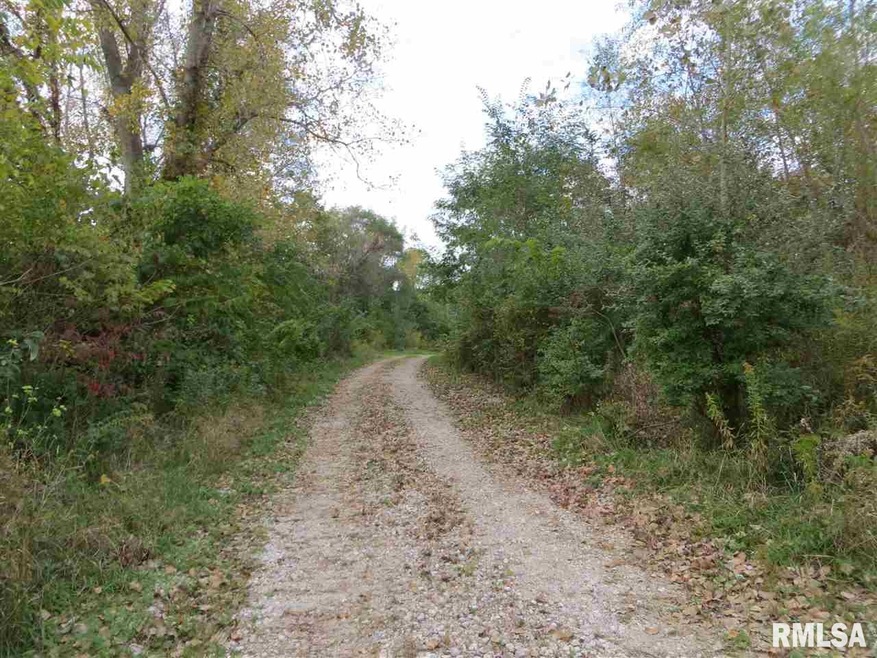
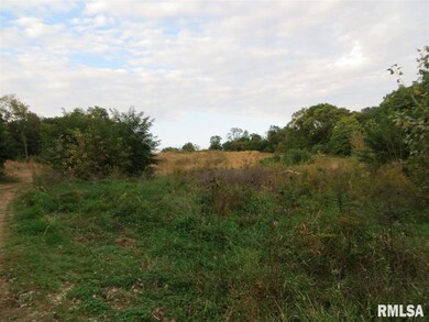
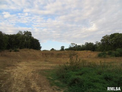
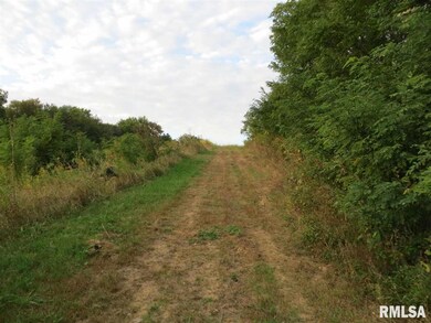
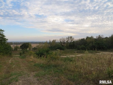
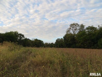
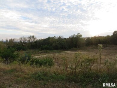
-Subject property is vacant development land, now farmed and zoned agricultural. Roughly 20.1 acres is tillable and the balance timber. A creek flows year around along the west side of the property. According to public soils maps, primary soil type is Fayette Silt Loam(#280), Rozetta silt loam(#279), Sylvan-Bold silt loam (#962/f), (#278), (943F2 and Sylvan Silt Loam (#19). The property is leased for the 2015 crop year on a 50/50 basis without a written lease. The 2015 crop will be retained by the seller. In addition, the property has been licensed by the Rock Island County to operate a barrow pit for the sale of dirt fill. This license will be assigned to the new owner. Typical sale is $1.75 per yard as is. The property is being offered "as is" otherwise. The agreement with the farmer will be terminated effective December 31, 2015. Parcel 358-4 for 71.67 acres less a tract of land 2.075 sf in exchange for a tract of land 3,369 sf for a net difference of 1,294 sf or .0297 acres.
Last Agent to Sell the Property
Shan Corelis
Ruhl&Ruhl REALTORS Moline License #475.126808/S39311000 Listed on: 10/08/2015

Last Buyer's Agent
Shan Corelis
Ruhl&Ruhl REALTORS Moline License #475.126808/S39311000 Listed on: 10/08/2015
| Date | Buyer | Sale Price | Title Company |
|---|---|---|---|
| Phoenix Corporation Of The Qua | $340,432 | Mccarthy Callas & Feeney Pc | |
| Phoenix Corporation Of The Qua | $340,432 | Mccarthy Callas & Feeney Pc |
| Date | Status | Borrower | Loan Amount |
|---|---|---|---|
| Open | Phoenix Corporation Of The Qua | $474,200 | |
| Closed | Phoenix Corporation Of The Qua | $474,200 |
| Date | Event | Price | List to Sale | Price per Sq Ft |
|---|---|---|---|---|
| 12/29/2017 12/29/17 | Sold | $680,865 | 0.0% | -- |
| 11/29/2017 11/29/17 | Pending | -- | -- | -- |
| 10/08/2015 10/08/15 | For Sale | $681,147 | -- | -- |
| Year | Tax Paid | Tax Assessment Tax Assessment Total Assessment is a certain percentage of the fair market value that is determined by local assessors to be the total taxable value of land and additions on the property. | Land | Improvement |
|---|---|---|---|---|
| 2024 | $1,080 | $13,541 | $13,541 | $0 |
| 2023 | $1,080 | $12,129 | $12,129 | $0 |
| 2022 | $891 | $10,845 | $10,845 | $0 |
| 2021 | $817 | $9,672 | $9,672 | $0 |
| 2020 | $733 | $8,612 | $8,612 | $0 |
| 2019 | $656 | $7,646 | $7,646 | $0 |
| 2018 | $578 | $6,767 | $6,767 | $0 |
| 2017 | $512 | $5,967 | $5,967 | $0 |
| 2016 | $453 | $5,242 | $5,242 | $0 |
| 2015 | $400 | $4,584 | $4,584 | $0 |
| 2014 | -- | $4,182 | $4,132 | $50 |
| 2013 | -- | $4,182 | $4,132 | $50 |
S
Seller's Agent in 2017
Shan Corelis
Ruhl&Ruhl REALTORS Moline
Seller Co-Listing Agent in 2017
John Corelis
NAI Ruhl Commercial Company
(563) 823-5105
11 Total Sales
Source: RMLS Alliance
MLS Number: RMAQC4166191
APN: 09-13-200-009
Disclaimer: Certain information contained herein is derived from information provided by parties other than Homes.com. All information provided is deemed reliable, but is not guaranteed to be accurate and should be independently verified.
![]() IDX information is provided exclusively for personal, non-commercial use, and may not be used for any purpose other than to identify prospective properties consumers may be interested in purchasing. Information is deemed reliable but not guaranteed.
IDX information is provided exclusively for personal, non-commercial use, and may not be used for any purpose other than to identify prospective properties consumers may be interested in purchasing. Information is deemed reliable but not guaranteed.