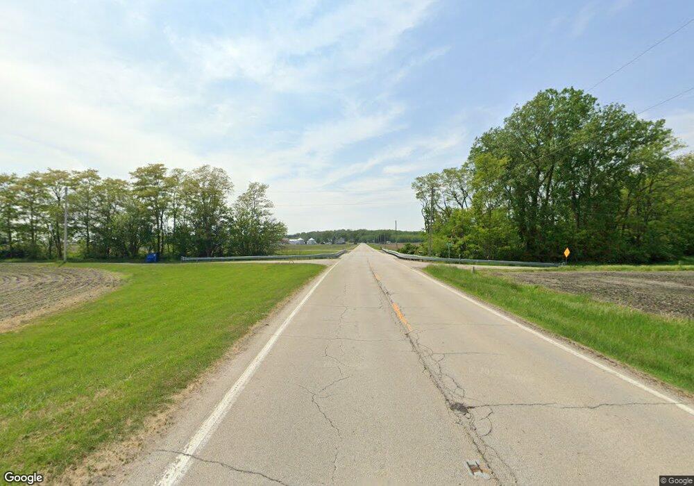
21621 Route 2 Port Byron, IL 61275
--
Bed
--
Bath
--
Sq Ft
71.67
Acres
About This Home
This home is located at 21621 Route 2, Port Byron, IL 61275. 21621 Route 2 is a home located in Rock Island County with nearby schools including George O Barr School, Silvis Junior High School, and United Township High School.
Ownership History
Date
Name
Owned For
Owner Type
Purchase Details
Closed on
Dec 20, 2017
Sold by
Corelis John J and Corelis Shan S
Bought by
Phoenix Corporation Of The Qua
Home Financials for this Owner
Home Financials are based on the most recent Mortgage that was taken out on this home.
Original Mortgage
$474,200
Outstanding Balance
$399,028
Interest Rate
3.92%
Mortgage Type
New Conventional
Create a Home Valuation Report for This Property
The Home Valuation Report is an in-depth analysis detailing your home's value as well as a comparison with similar homes in the area
Home Values in the Area
Average Home Value in this Area
Purchase History
| Date | Buyer | Sale Price | Title Company |
|---|---|---|---|
| Phoenix Corporation Of The Qua | $340,432 | Mccarthy Callas & Feeney Pc | |
| Phoenix Corporation Of The Qua | $340,432 | Mccarthy Callas & Feeney Pc |
Source: Public Records
Mortgage History
| Date | Status | Borrower | Loan Amount |
|---|---|---|---|
| Open | Phoenix Corporation Of The Qua | $474,200 | |
| Closed | Phoenix Corporation Of The Qua | $474,200 |
Source: Public Records
Tax History Compared to Growth
Tax History
| Year | Tax Paid | Tax Assessment Tax Assessment Total Assessment is a certain percentage of the fair market value that is determined by local assessors to be the total taxable value of land and additions on the property. | Land | Improvement |
|---|---|---|---|---|
| 2024 | $1,080 | $13,541 | $13,541 | $0 |
| 2023 | $1,080 | $12,129 | $12,129 | $0 |
| 2022 | $891 | $10,845 | $10,845 | $0 |
| 2021 | $817 | $9,672 | $9,672 | $0 |
| 2020 | $733 | $8,612 | $8,612 | $0 |
| 2019 | $656 | $7,646 | $7,646 | $0 |
| 2018 | $578 | $6,767 | $6,767 | $0 |
| 2017 | $512 | $5,967 | $5,967 | $0 |
| 2016 | $453 | $5,242 | $5,242 | $0 |
| 2015 | $400 | $4,584 | $4,584 | $0 |
| 2014 | -- | $4,182 | $4,132 | $50 |
| 2013 | -- | $4,182 | $4,132 | $50 |
Source: Public Records
Map
Nearby Homes
- 5216 227th Street Ct N
- 3808 229th Street Cir N
- 4022 229th Street Cir N
- 4014 229th Street Cir N
- 3829 229th Street Cir N
- 4008 229th Street Cir N
- 3901 229th Street Cir N
- 5122 230th St N
- 4001 229th Street Cir N
- 3905 229th Street Cir N
- 3929 229th Street Cir N
- 3913 229th Street Cir N
- 3917 229th Street Cir N
- 1001 9th
- Lot 5 52nd Ave N
- 18616 35th Ave N
- 1303 8th Ave
- 807 14th
- 811 14th
- 809 14th
- 21621 Route 2 and 92
- 21621 Route 2 Unit Rte92
- 3329 214th St N
- 3403 214th St N
- 3405 214th St N
- 3316 214th St N
- 3417 214th St N
- 3212 214th St N
- 3202 214th St N
- 3402 214th St N
- 2507 Little Cabin
- 3521 214th St N
- 21621 Route 2 & 92
- 3304 214th St N
- 3310 214th St N
- 3529 214th St N
- 3114 214th St N
- 3100 214th St N
- 21621 Rt 2 & 92
- 3518 214th St N
