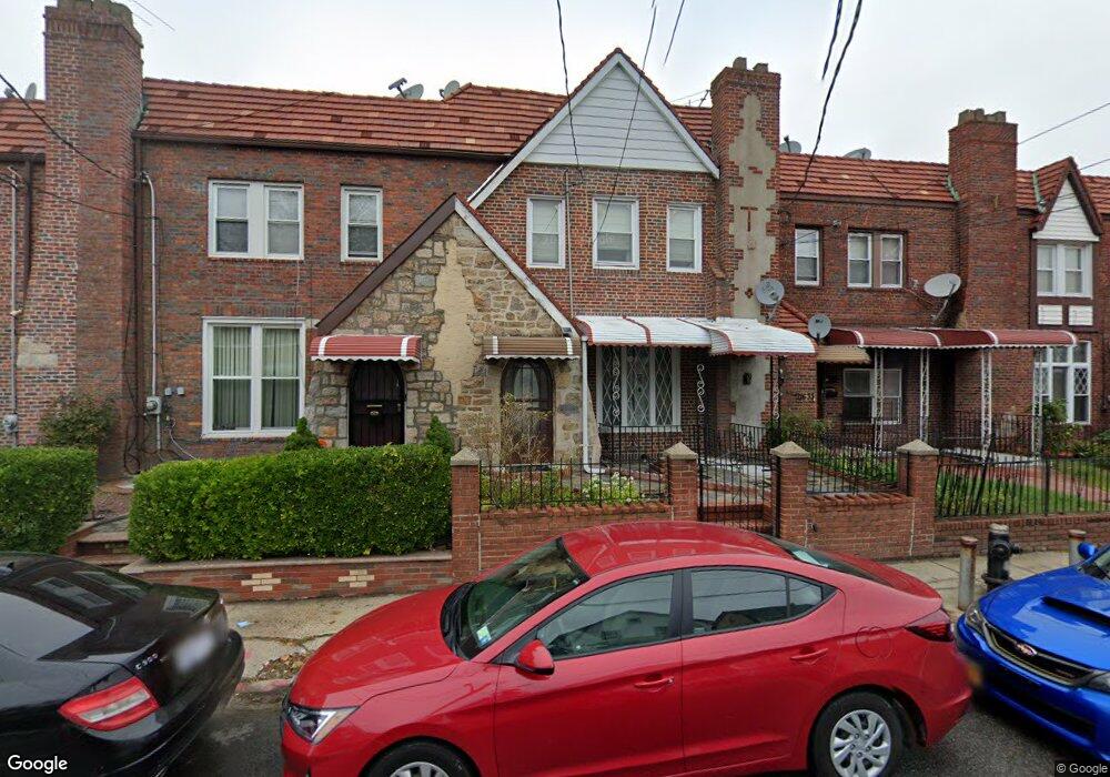
21631 113th Dr Queens Village, NY 11429
Queens Village NeighborhoodEstimated Value: $693,922 - $898,000
4
Beds
3
Baths
1,688
Sq Ft
$463/Sq Ft
Est. Value
About This Home
This home is located at 21631 113th Dr, Queens Village, NY 11429 and is currently estimated at $781,231, approximately $462 per square foot. 21631 113th Dr is a home located in Queens County with nearby schools including P.S./M.S. 147 Ronald Mcnair, I.S. 192 The Linden, and Ss Joachim & Anne School.
Ownership History
Date
Name
Owned For
Owner Type
Purchase Details
Closed on
Jan 29, 2020
Sold by
Estate Of Pascal Emmanuel Fulcher and Estate Of Pascal Fulcher
Bought by
Johnson Latoya S and Johnson Nicholas M
Current Estimated Value
Home Financials for this Owner
Home Financials are based on the most recent Mortgage that was taken out on this home.
Original Mortgage
$479,750
Outstanding Balance
$425,909
Interest Rate
3.74%
Mortgage Type
New Conventional
Estimated Equity
$355,322
Create a Home Valuation Report for This Property
The Home Valuation Report is an in-depth analysis detailing your home's value as well as a comparison with similar homes in the area
Home Values in the Area
Average Home Value in this Area
Purchase History
| Date | Buyer | Sale Price | Title Company |
|---|---|---|---|
| Johnson Latoya S | $505,000 | -- |
Source: Public Records
Mortgage History
| Date | Status | Borrower | Loan Amount |
|---|---|---|---|
| Open | Johnson Latoya S | $479,750 |
Source: Public Records
Tax History Compared to Growth
Tax History
| Year | Tax Paid | Tax Assessment Tax Assessment Total Assessment is a certain percentage of the fair market value that is determined by local assessors to be the total taxable value of land and additions on the property. | Land | Improvement |
|---|---|---|---|---|
| 2025 | $6,199 | $32,712 | $9,070 | $23,642 |
| 2024 | $6,199 | $30,862 | $8,848 | $22,014 |
| 2023 | $5,848 | $29,117 | $8,336 | $20,781 |
| 2022 | $5,484 | $38,940 | $12,660 | $26,280 |
| 2021 | $5,781 | $32,820 | $12,660 | $20,160 |
| 2020 | $5,770 | $31,380 | $12,660 | $18,720 |
| 2019 | $5,380 | $29,580 | $12,660 | $16,920 |
| 2018 | $4,946 | $24,264 | $12,075 | $12,189 |
| 2017 | $4,666 | $22,891 | $12,228 | $10,663 |
| 2016 | $4,576 | $22,891 | $12,228 | $10,663 |
| 2015 | $2,385 | $22,717 | $13,247 | $9,470 |
| 2014 | $2,385 | $21,432 | $12,947 | $8,485 |
Source: Public Records
Map
Nearby Homes
- 21531 Murdock Ave
- 113-66 Springfield Blvd
- 214-38 113th Ave
- 21739 114th Rd
- 217-39 114th Rd
- 21438 112th Rd
- 214-10 113th Ave
- 112-29 219th St
- 115-20 217th St
- 215-28 112th Ave
- 114-54 212th St
- 21610 115th Ct
- 114-36 220th St
- 21231 113th Ave
- 215-11 112th Ave
- 22117 Murdock Ave
- 216-04 115th Terrace
- 114-42 211th St
- 219-47 112th Ave
- 11419 210th St
- 21631 113th Dr
- 21633 113th Dr
- 21629 113th Dr
- 21635 113th Dr
- 21627 113th Dr
- 21637 113th Dr
- 21625 113th Dr
- 21639 113th Dr
- 21623 113th Dr
- 21641 113th Dr
- 21621 113th Dr
- 21526 Murdock Ave
- 21524 Murdock Ave
- 21528 Murdock Ave
- 21530 Murdock Ave
- 21522 Murdock Ave
- 21643 113th Dr
- 216-31 113th Dr
- 21619 113th Dr
- 21520 Murdock Ave