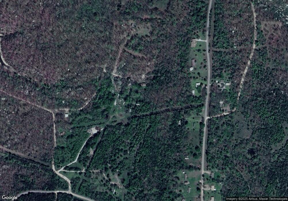
21637 W 884 Rd Cookson, OK 74427
Estimated Value: $157,000 - $303,000
3
Beds
3
Baths
2,496
Sq Ft
$87/Sq Ft
Est. Value
About This Home
This home is located at 21637 W 884 Rd, Cookson, OK 74427 and is currently estimated at $217,779, approximately $87 per square foot. 21637 W 884 Rd is a home located in Cherokee County.
Ownership History
Date
Name
Owned For
Owner Type
Purchase Details
Closed on
Mar 15, 2024
Sold by
Mels Homes Llc
Bought by
Perry Scott W and Perry Terri L
Current Estimated Value
Purchase Details
Closed on
Jun 22, 2007
Sold by
Kennedy Michael Sean and Kennedy Linda Ann
Bought by
Turman Merlin Timothy
Home Financials for this Owner
Home Financials are based on the most recent Mortgage that was taken out on this home.
Original Mortgage
$122,500
Interest Rate
6.16%
Mortgage Type
New Conventional
Purchase Details
Closed on
Oct 19, 2000
Sold by
Milton and Doris Kitchens
Bought by
Michael and Linda Kennedy
Purchase Details
Closed on
Oct 7, 1998
Sold by
Stuart and Lori Dewitt
Bought by
Milton Kitchens and Milton Walters D
Purchase Details
Closed on
Apr 24, 1995
Sold by
Tom and Linda Love
Bought by
Stuart and Lori Dewitt
Create a Home Valuation Report for This Property
The Home Valuation Report is an in-depth analysis detailing your home's value as well as a comparison with similar homes in the area
Purchase History
| Date | Buyer | Sale Price | Title Company |
|---|---|---|---|
| Perry Scott W | $140,000 | Infinity Title | |
| Turman Merlin Timothy | $119,500 | Tahlequah Abstract Closing S | |
| Michael | $102,500 | -- | |
| Milton Kitchens | $85,000 | -- | |
| Stuart | $79,000 | -- |
Source: Public Records
Mortgage History
| Date | Status | Borrower | Loan Amount |
|---|---|---|---|
| Previous Owner | Turman Merlin Timothy | $122,500 |
Source: Public Records
Tax History
| Year | Tax Paid | Tax Assessment Tax Assessment Total Assessment is a certain percentage of the fair market value that is determined by local assessors to be the total taxable value of land and additions on the property. | Land | Improvement |
|---|---|---|---|---|
| 2025 | -- | $11,529 | $1,381 | $10,148 |
| 2024 | -- | $11,499 | $1,011 | $10,488 |
| 2023 | $0 | $11,499 | $1,011 | $10,488 |
| 2022 | $949 | $11,499 | $1,011 | $10,488 |
| 2021 | $949 | $11,499 | $1,011 | $10,488 |
| 2020 | $949 | $11,849 | $1,011 | $10,838 |
| 2019 | $949 | $11,849 | $1,011 | $10,838 |
| 2018 | $0 | $11,849 | $1,011 | $10,838 |
| 2017 | $0 | $11,849 | $1,011 | $10,838 |
| 2016 | -- | $12,328 | $1,324 | $11,004 |
| 2015 | $917 | $11,741 | $1,011 | $10,730 |
| 2014 | $917 | $11,697 | $1,011 | $10,686 |
Source: Public Records
Map
Nearby Homes
- 30487 S 552 Rd
- 21595 W 888 Rd
- 30998 S Molly Brown Rd
- 30000 Hummingbird Ln
- 6629300 State Highway 82
- 13129300 State Highway 82
- 13029300 State Highway 82
- 5029300 State Highway 82
- 7729300 State Highway 82
- 7829300 State Highway 82
- 7929300 State Highway 82
- 4429300 State Highway 82
- 0000 Stones Throw
- 30226 S Hickory Ln
- 0 S Hickory Ln Unit 2522684
- 0 S Hickory Ln Unit 2547515
- 29300 Hwy 82 Unit 119
- 29300 State Highway 82 Unit 99/101
- 21331 W Cookson Bend Rd
- 6 W 867 Rd
Your Personal Tour Guide
Ask me questions while you tour the home.
