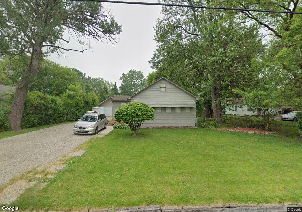
2164 Dexter Rd Auburn Hills, MI 48326
Estimated Value: $227,052 - $264,000
3
Beds
2
Baths
1,308
Sq Ft
$188/Sq Ft
Est. Value
About This Home
This home is located at 2164 Dexter Rd, Auburn Hills, MI 48326 and is currently estimated at $246,263, approximately $188 per square foot. 2164 Dexter Rd is a home located in Oakland County with nearby schools including Rogers Elementary, Pontiac Middle School, and Pontiac High School.
Ownership History
Date
Name
Owned For
Owner Type
Purchase Details
Closed on
Jul 18, 2003
Sold by
Brown Dennis R
Bought by
Burley Lanette
Current Estimated Value
Purchase Details
Closed on
May 11, 1998
Sold by
Scimemi Mark A
Bought by
Brown Dennis R
Home Financials for this Owner
Home Financials are based on the most recent Mortgage that was taken out on this home.
Original Mortgage
$105,800
Interest Rate
7.27%
Create a Home Valuation Report for This Property
The Home Valuation Report is an in-depth analysis detailing your home's value as well as a comparison with similar homes in the area
Home Values in the Area
Average Home Value in this Area
Purchase History
| Date | Buyer | Sale Price | Title Company |
|---|---|---|---|
| Burley Lanette | $139,900 | Metropolitan Title Company | |
| Brown Dennis R | $115,000 | -- |
Source: Public Records
Mortgage History
| Date | Status | Borrower | Loan Amount |
|---|---|---|---|
| Previous Owner | Brown Dennis R | $105,800 |
Source: Public Records
Tax History Compared to Growth
Tax History
| Year | Tax Paid | Tax Assessment Tax Assessment Total Assessment is a certain percentage of the fair market value that is determined by local assessors to be the total taxable value of land and additions on the property. | Land | Improvement |
|---|---|---|---|---|
| 2024 | $1,031 | $86,170 | $0 | $0 |
| 2023 | $984 | $81,630 | $0 | $0 |
| 2022 | $1,736 | $71,190 | $0 | $0 |
| 2021 | $1,708 | $67,950 | $0 | $0 |
| 2020 | $926 | $63,880 | $0 | $0 |
| 2019 | $1,568 | $62,560 | $0 | $0 |
| 2018 | $1,534 | $58,520 | $0 | $0 |
| 2017 | $1,504 | $57,530 | $0 | $0 |
| 2016 | $1,494 | $54,650 | $0 | $0 |
| 2015 | -- | $50,070 | $0 | $0 |
| 2014 | -- | $46,440 | $0 | $0 |
| 2011 | -- | $48,520 | $0 | $0 |
Source: Public Records
Map
Nearby Homes
- 2300 Richwood Rd
- 2375 Snellbrook Rd
- 2400 Walnut Rd
- 2325 Walnut Rd
- 2274 Allerton Rd
- 2085 Allerton Rd
- 2464 Allerton Rd
- 2526 Patrick Henry Rd
- 3164 Bookham Cir
- 3160 Bookham Cir
- 2530 Patrick Henry St
- 2638 Patrick Henry Rd
- 3101 Elstead St
- 2641 Konrad Ct Unit 6
- 2551 James Rd
- 3111 Ramzi Ln
- 3024 Carly Ct Unit 57
- 151 Cedar Isle Dr
- 4444 Walton Blvd
- 2700 Shimmons Rd
- 2180 Dexter Rd
- 2148 Dexter Rd
- 2190 Dexter Rd
- 2132 Dexter Rd
- 2200 Dexter Rd
- 2110 Dexter Rd
- 2155 Snellbrook Rd
- 2149 Dexter Rd
- 2090 Dexter Rd
- 2139 Dexter Rd
- 2220 Dexter Rd
- 2165 Dexter Rd
- 2201 Snellbrook Rd
- 2121 Dexter Rd
- 2189 Snellbrook Rd
- 2183 Dexter Rd
- 2087 Dexter Rd
- 2066 Dexter Rd
- 2240 Dexter Rd
- 2195 Dexter Rd