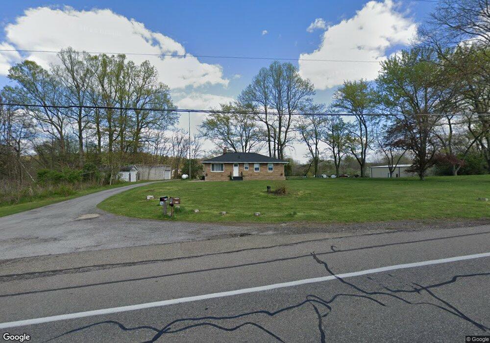
2164 State Route 43 Mogadore, OH 44260
Estimated Value: $151,000 - $207,000
1
Bed
1
Bath
1,040
Sq Ft
$174/Sq Ft
Est. Value
About This Home
This home is located at 2164 State Route 43, Mogadore, OH 44260 and is currently estimated at $180,534, approximately $173 per square foot. 2164 State Route 43 is a home located in Portage County with nearby schools including Suffield Elementary School, Field Middle School, and Field High School.
Ownership History
Date
Name
Owned For
Owner Type
Purchase Details
Closed on
Sep 27, 2016
Sold by
Stroup Cynthia L
Bought by
Satisfaction Of Stroup Properties Llc
Current Estimated Value
Purchase Details
Closed on
Jul 24, 2007
Sold by
Stroup Walter E and Stroup Cynthia L
Bought by
Stroup Cynthia L and Cynthia L Stroup Revocable Trust
Purchase Details
Closed on
Mar 6, 2003
Sold by
Stroup Walter J and Stroup Christine A
Bought by
Stroup Walter E and Stroup Cynthia L
Purchase Details
Closed on
Jul 16, 2002
Sold by
Firstmerit Bank Na
Bought by
Stroup Walter J and Stroup Christine A
Create a Home Valuation Report for This Property
The Home Valuation Report is an in-depth analysis detailing your home's value as well as a comparison with similar homes in the area
Home Values in the Area
Average Home Value in this Area
Purchase History
| Date | Buyer | Sale Price | Title Company |
|---|---|---|---|
| Satisfaction Of Stroup Properties Llc | -- | None Available | |
| Stroup Cynthia L | -- | Attorney | |
| Stroup Walter E | -- | Chicago Title Insurance Comp | |
| Stroup Walter J | $110,000 | Chicago Title Insurance Comp |
Source: Public Records
Tax History Compared to Growth
Tax History
| Year | Tax Paid | Tax Assessment Tax Assessment Total Assessment is a certain percentage of the fair market value that is determined by local assessors to be the total taxable value of land and additions on the property. | Land | Improvement |
|---|---|---|---|---|
| 2024 | $2,413 | $58,840 | $15,650 | $43,190 |
| 2023 | $2,321 | $46,210 | $12,080 | $34,130 |
| 2022 | $2,321 | $46,210 | $12,080 | $34,130 |
| 2021 | $2,308 | $46,210 | $12,080 | $34,130 |
| 2020 | $2,212 | $40,290 | $12,080 | $28,210 |
| 2019 | $2,220 | $40,290 | $12,080 | $28,210 |
| 2018 | $1,635 | $35,360 | $13,270 | $22,090 |
| 2017 | $1,635 | $35,360 | $13,270 | $22,090 |
| 2016 | $1,619 | $35,360 | $13,270 | $22,090 |
| 2015 | $1,620 | $35,360 | $13,270 | $22,090 |
| 2014 | $1,577 | $35,360 | $13,270 | $22,090 |
| 2013 | $1,565 | $35,360 | $13,270 | $22,090 |
Source: Public Records
Map
Nearby Homes
- 0 Randolph Rd Unit 5112744
- 1811 Randolph Rd
- 1195 Etter Rd
- 596 Ticknor Rd
- 1369 S Polen Ave
- 2835 Sunnybrook Rd
- 268 Randolph Rd
- 3241 State Route 43
- 112 Sunrise Blvd E
- 2662 Martin Rd
- 1660 Martin Rd
- S/L 38 1150 Lakeview Dr
- S/L 11 959 Sunrise Dr
- S/L 37 1140 Lakeview Dr
- 3985 Etter Rd
- 377 S Cleveland Ave
- VL 863 State Route 43
- 3434 Lawndale Dr
- 3874 Prospect St
- 1707 Old Forge Rd
- 2181 State Route 43
- 2194 State Route 43
- 2107 State Route 43
- 2133 State Route 43
- 2232 State Route 43
- 2211 State Route 43
- 1363 Randolph Rd
- 2091 State Route 43
- 2093 Ohio 43
- 2085 State Route 43
- 1340 Randolph Rd
- 1383 Randolph Rd
- 1350 Randolph Rd
- 1362 Randolph Rd
- 2079 State Route 43
- 1300 Randolph Rd
- 1397 Randolph Rd
- 1221 Randolph Rd
- 1267 Randolph Rd
- 1257 Randolph Rd