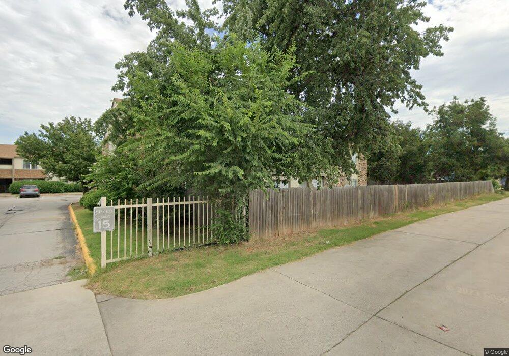
2164 W Brooks St Unit C Norman, OK 73069
Southwest Norman NeighborhoodEstimated Value: $75,000 - $144,000
3
Beds
2
Baths
1,191
Sq Ft
$80/Sq Ft
Est. Value
About This Home
This home is located at 2164 W Brooks St Unit C, Norman, OK 73069 and is currently estimated at $95,714, approximately $80 per square foot. 2164 W Brooks St Unit C is a home located in Cleveland County with nearby schools including Jackson Elementary School, Alcott Middle School, and Norman High School.
Ownership History
Date
Name
Owned For
Owner Type
Purchase Details
Closed on
Dec 8, 2022
Sold by
J & S Maranatha Properties Llc
Bought by
Matthies Keaton and Matthies Jordyn
Current Estimated Value
Purchase Details
Closed on
Mar 31, 2015
Sold by
Jacob Varghese B and Jacob Annamma A
Bought by
J & S Marantha Properties Llc
Purchase Details
Closed on
Jun 4, 2004
Sold by
Stevens, Ray Properties Llc
Bought by
Jacob Varghese B
Purchase Details
Closed on
Feb 19, 2003
Sold by
Taylor Kevin L and Taylor Beth A
Bought by
Stevens, Ray Properties Llc
Create a Home Valuation Report for This Property
The Home Valuation Report is an in-depth analysis detailing your home's value as well as a comparison with similar homes in the area
Home Values in the Area
Average Home Value in this Area
Purchase History
| Date | Buyer | Sale Price | Title Company |
|---|---|---|---|
| Matthies Keaton | $61,000 | Old Republic Title | |
| J & S Marantha Properties Llc | -- | None Available | |
| Jacob Varghese B | $79,000 | -- | |
| Stevens, Ray Properties Llc | $311,000 | -- |
Source: Public Records
Tax History Compared to Growth
Tax History
| Year | Tax Paid | Tax Assessment Tax Assessment Total Assessment is a certain percentage of the fair market value that is determined by local assessors to be the total taxable value of land and additions on the property. | Land | Improvement |
|---|---|---|---|---|
| 2024 | $1,135 | $9,472 | $1,603 | $7,869 |
| 2023 | $1,083 | $9,021 | $1,809 | $7,212 |
| 2022 | $643 | $5,579 | $723 | $4,856 |
| 2021 | $678 | $5,579 | $723 | $4,856 |
| 2020 | $662 | $5,579 | $723 | $4,856 |
| 2019 | $674 | $5,579 | $723 | $4,856 |
| 2018 | $655 | $5,580 | $724 | $4,856 |
| 2017 | $644 | $5,580 | $0 | $0 |
| 2016 | $625 | $5,180 | $672 | $4,508 |
| 2015 | -- | $4,933 | $681 | $4,252 |
| 2014 | -- | $4,699 | $649 | $4,050 |
Source: Public Records
Map
Nearby Homes
- 920 Jona Kay Terrace
- 905 Jona Kay Terrace
- 720 Jona Kay Terrace
- 711 Westridge Terrace
- 832 Carriage Ln
- 1333 Homeland Ave
- 2012 W Boyd St
- 1301 24th Ave SW Unit 1305
- 1447 Homeland Ave
- 700 Claremont Dr
- 1614 Cruce St
- 1626 Lenox Dr
- 419 George L Cross Ct
- 1424 Avondale Dr
- 1221 Cruce St
- 1527 Camden Way
- 324 Thompson Dr
- 2301 Mckown Dr
- 2666 Brentwood Dr
- 1711 Westbrooke Terrace
- 2172 W Brooks St Unit D
- 2172 W Brooks St Unit C
- 2172 W Brooks St Unit B
- 2172 W Brooks St Unit A
- 2170 W Brooks St Unit D
- 2170 W Brooks St Unit C
- 2170 W Brooks St Unit B
- 2170 W Brooks St Unit A
- 2168 W Brooks St Unit D
- 2168 W Brooks St Unit C
- 2168 W Brooks St Unit A
- 2166 W Brooks St Unit D
- 2166 W Brooks St Unit C
- 2166 W Brooks St Unit B
- 2166 W Brooks St Unit A
- 2164 W Brooks St Unit D
- 2164 W Brooks St Unit B
- 2164 W Brooks St Unit A
- 2162 W Brooks St Unit D