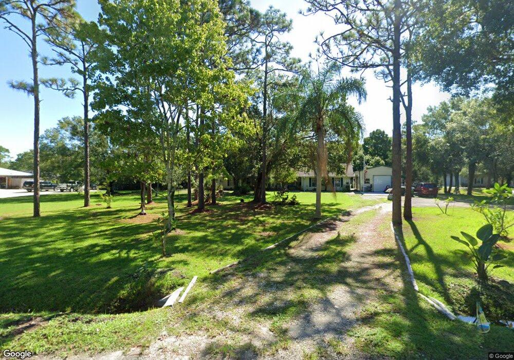
2165 Duncil Ln Malabar, FL 32950
Estimated Value: $442,000 - $559,000
4
Beds
3
Baths
2,272
Sq Ft
$224/Sq Ft
Est. Value
About This Home
This home is located at 2165 Duncil Ln, Malabar, FL 32950 and is currently estimated at $508,754, approximately $223 per square foot. 2165 Duncil Ln is a home located in Brevard County with nearby schools including Port Malabar Elementary School, Stone Magnet Middle School, and Palm Bay Magnet Senior High School.
Ownership History
Date
Name
Owned For
Owner Type
Purchase Details
Closed on
Sep 19, 2018
Sold by
Mendonca Kellie Burdette
Bought by
Burdette Layton H
Current Estimated Value
Purchase Details
Closed on
Sep 11, 2018
Sold by
Burdette Layton H and Estate Of Blanche Doris Fisher
Bought by
Burdette Layton and Mendonca Kellie Burdette
Purchase Details
Closed on
Mar 28, 2005
Sold by
Fisher Doris L and Fisher Gordon D
Bought by
Burdette Fisher Doris L and Burdette Layton H Iii
Purchase Details
Closed on
Jan 30, 2003
Sold by
Inman Charles D and Inman Diane R
Bought by
Fisher Gordon D and Fisher Doris L
Home Financials for this Owner
Home Financials are based on the most recent Mortgage that was taken out on this home.
Original Mortgage
$198,000
Interest Rate
5.98%
Mortgage Type
Purchase Money Mortgage
Create a Home Valuation Report for This Property
The Home Valuation Report is an in-depth analysis detailing your home's value as well as a comparison with similar homes in the area
Home Values in the Area
Average Home Value in this Area
Purchase History
| Date | Buyer | Sale Price | Title Company |
|---|---|---|---|
| Burdette Layton H | -- | Attorney | |
| Burdette Layton | -- | Attorney | |
| Burdette Fisher Doris L | $63,400 | -- | |
| Fisher Gordon D | $220,000 | -- |
Source: Public Records
Mortgage History
| Date | Status | Borrower | Loan Amount |
|---|---|---|---|
| Previous Owner | Fisher Gordon D | $198,000 |
Source: Public Records
Tax History
| Year | Tax Paid | Tax Assessment Tax Assessment Total Assessment is a certain percentage of the fair market value that is determined by local assessors to be the total taxable value of land and additions on the property. | Land | Improvement |
|---|---|---|---|---|
| 2025 | $3,048 | $239,640 | -- | -- |
| 2024 | $2,977 | $232,890 | -- | -- |
| 2023 | $2,977 | $226,110 | -- | -- |
| 2022 | $2,757 | $219,530 | $0 | $0 |
| 2021 | $2,476 | $213,140 | $0 | $0 |
| 2020 | $2,302 | $198,610 | $0 | $0 |
| 2019 | $2,267 | $194,150 | $0 | $0 |
| 2018 | $2,072 | $187,450 | $0 | $0 |
| 2017 | $1,975 | $173,270 | $0 | $0 |
| 2016 | $1,797 | $148,680 | $37,100 | $111,580 |
| 2015 | $1,765 | $142,610 | $34,300 | $108,310 |
| 2014 | $1,691 | $136,920 | $34,300 | $102,620 |
Source: Public Records
Map
Nearby Homes
- 2300 Duncil Ln
- 900 Hall Rd
- 2205 Arnold Ln
- 0 Hazel Ln
- 0000 Wilson Ln
- 920 Malabar Rd
- 880 Malabar Rd
- 1985 Flashy Ln
- 1677 E Stardust Dr
- 00 Unknown
- 2740 Waring Ln
- 1637 E Stardust Dr
- 1640 Moonbeam Dr
- 2365 Corey Rd
- 1616 E Stardust Dr
- 0000 Unknown Roadway
- 000a Old Mission Rd
- 0000 Old Mission Rd
- 2407 Fallon Blvd NE
- 2197 Paoli Dr NE
Your Personal Tour Guide
Ask me questions while you tour the home.