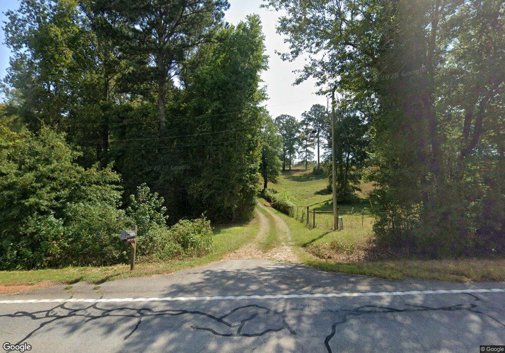
2165 E Highway 5 Carrollton, GA 30116
Estimated Value: $273,007 - $339,000
3
Beds
2
Baths
1,438
Sq Ft
$214/Sq Ft
Est. Value
About This Home
This home is located at 2165 E Highway 5, Carrollton, GA 30116 and is currently estimated at $307,502, approximately $213 per square foot. 2165 E Highway 5 is a home located in Carroll County with nearby schools including Roopville Elementary School, Central Middle School, and Central High School.
Ownership History
Date
Name
Owned For
Owner Type
Purchase Details
Closed on
Apr 28, 2016
Sold by
Adams David Lewis
Bought by
Mellon Robert M and Mellon Vicki D
Current Estimated Value
Purchase Details
Closed on
Aug 28, 2006
Sold by
Grant James L
Bought by
Adams David Lewis
Purchase Details
Closed on
Apr 23, 2002
Sold by
Grant James L
Bought by
Grant James L
Purchase Details
Closed on
Apr 12, 2001
Sold by
Grant James and Grant Lavada
Bought by
Grant James L
Purchase Details
Closed on
Jun 24, 1988
Bought by
Grant James and Grant Lavada
Create a Home Valuation Report for This Property
The Home Valuation Report is an in-depth analysis detailing your home's value as well as a comparison with similar homes in the area
Home Values in the Area
Average Home Value in this Area
Purchase History
| Date | Buyer | Sale Price | Title Company |
|---|---|---|---|
| Mellon Robert M | $145,400 | -- | |
| Adams David Lewis | $130,461 | -- | |
| Grant James L | -- | -- | |
| Grant James L | -- | -- | |
| Grant James | -- | -- |
Source: Public Records
Tax History Compared to Growth
Tax History
| Year | Tax Paid | Tax Assessment Tax Assessment Total Assessment is a certain percentage of the fair market value that is determined by local assessors to be the total taxable value of land and additions on the property. | Land | Improvement |
|---|---|---|---|---|
| 2024 | $221 | $107,315 | $32,905 | $74,410 |
| 2023 | $221 | $93,861 | $26,324 | $67,537 |
| 2022 | $263 | $71,679 | $17,550 | $54,129 |
| 2021 | $265 | $60,334 | $14,040 | $46,294 |
| 2020 | $267 | $53,482 | $12,764 | $40,718 |
| 2019 | $1,120 | $49,268 | $12,764 | $36,504 |
| 2018 | $1,018 | $42,752 | $11,928 | $30,824 |
| 2017 | $1,021 | $42,752 | $11,928 | $30,824 |
| 2016 | $1,064 | $40,367 | $9,543 | $30,824 |
| 2015 | $1,093 | $39,080 | $14,403 | $24,678 |
| 2014 | $1,097 | $39,081 | $14,403 | $24,678 |
Source: Public Records
Map
Nearby Homes
- 2088 Star Point Rd
- 00 Ringer Rd
- 1170 Lowell Rd
- 1921 Star Point Rd
- 2018 Star Point Rd
- 500 Coleman Mill Rd
- 2100 Star Point Rd
- 2201 Star Point Rd
- 0 Bonner Goldmine Rd Unit 145631
- 0 Bonner Goldmine Rd Unit 10433818
- 0 Lowell Rd Unit 10640679
- 0 Ringer Rd Unit 10595950
- 0 Louise Ln Unit 10563364
- 2237 Clem Lowell Rd
- 484 Lepard Rd
- 1915 Whooping Creek Church Rd
- 191 Tumlin Creek Rd
- 2185 E Highway 5
- 2183 E Highway 5
- 2081 E Highway 5
- 0 W Hwy 5 Unit 3628822
- 2005 E Highway 5
- 2261 E Highway 5
- 2259 E Highway 5
- 2259 Georgia 5
- 1620 Ringer Rd
- 1997 E Highway 5
- 2250 E Highway 5
- 1580 Ringer Rd
- 2366 Georgia 5
- 1519 Ringer Rd
- 2016 E Highway 5
- 2331 E Highway 5
- 1459 Ringer Rd
- 2080 E Highway 5
- 1895 E Highway 5
- 66 Slick Rock Rd
