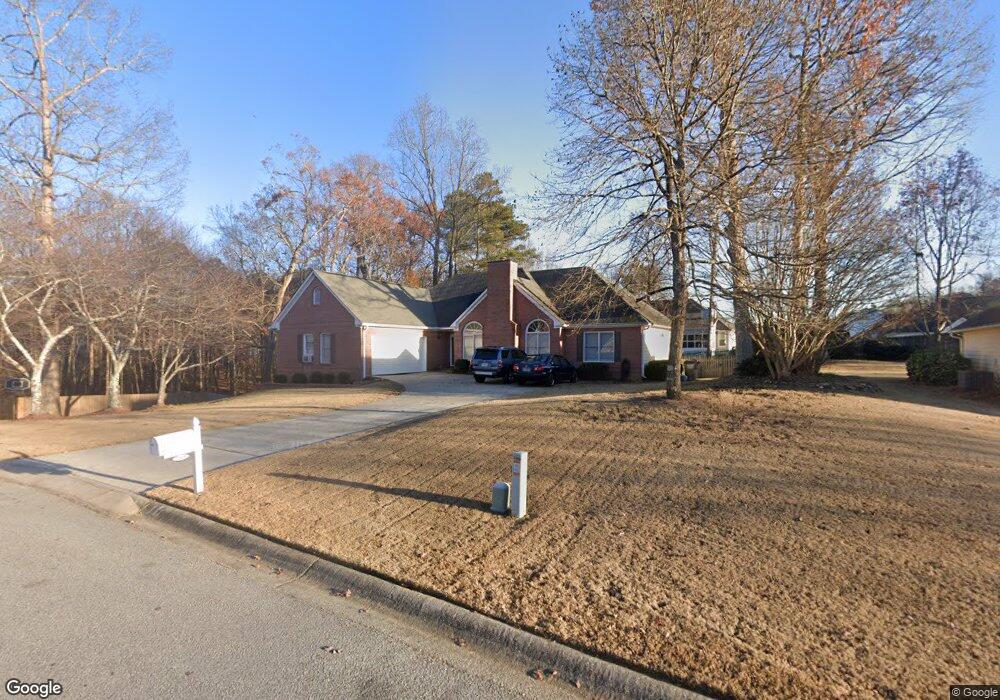
2165 Wynfield Point Dr Unit 2 Buford, GA 30519
Estimated Value: $399,000 - $440,000
3
Beds
2
Baths
1,966
Sq Ft
$212/Sq Ft
Est. Value
About This Home
This home is located at 2165 Wynfield Point Dr Unit 2, Buford, GA 30519 and is currently estimated at $415,839, approximately $211 per square foot. 2165 Wynfield Point Dr Unit 2 is a home located in Gwinnett County with nearby schools including Freeman's Mill Elementary School, Twin Rivers Middle School, and Mountain View High School.
Ownership History
Date
Name
Owned For
Owner Type
Purchase Details
Closed on
Sep 23, 2011
Sold by
Roessle Peter A
Bought by
Roessle Peter A and Venables-Roessl Joan P
Current Estimated Value
Purchase Details
Closed on
Apr 28, 2005
Sold by
Mcdonald Hugh E and Mcdonald Charlotte
Bought by
Roessle Peter A and Roessle Joan
Home Financials for this Owner
Home Financials are based on the most recent Mortgage that was taken out on this home.
Original Mortgage
$166,400
Interest Rate
5.99%
Mortgage Type
New Conventional
Purchase Details
Closed on
Jun 30, 1995
Sold by
Richardson Outler Prop Inc
Bought by
Mcdonald Hugh E Charlotte
Create a Home Valuation Report for This Property
The Home Valuation Report is an in-depth analysis detailing your home's value as well as a comparison with similar homes in the area
Home Values in the Area
Average Home Value in this Area
Purchase History
| Date | Buyer | Sale Price | Title Company |
|---|---|---|---|
| Roessle Peter A | -- | -- | |
| Roessle Peter A | $208,000 | -- | |
| Mcdonald Hugh E Charlotte | $114,500 | -- |
Source: Public Records
Mortgage History
| Date | Status | Borrower | Loan Amount |
|---|---|---|---|
| Previous Owner | Roessle Peter A | $166,400 |
Source: Public Records
Tax History Compared to Growth
Tax History
| Year | Tax Paid | Tax Assessment Tax Assessment Total Assessment is a certain percentage of the fair market value that is determined by local assessors to be the total taxable value of land and additions on the property. | Land | Improvement |
|---|---|---|---|---|
| 2025 | $1,044 | $159,520 | $26,000 | $133,520 |
| 2024 | $1,038 | $156,200 | $32,000 | $124,200 |
| 2023 | $1,038 | $147,960 | $32,000 | $115,960 |
| 2022 | $999 | $131,560 | $24,000 | $107,560 |
| 2021 | $987 | $112,200 | $20,000 | $92,200 |
| 2020 | $985 | $112,200 | $20,000 | $92,200 |
| 2019 | $916 | $92,000 | $16,800 | $75,200 |
| 2018 | $898 | $92,000 | $16,800 | $75,200 |
| 2016 | $938 | $82,400 | $16,800 | $65,600 |
| 2015 | $955 | $71,760 | $12,000 | $59,760 |
| 2014 | $962 | $71,760 | $12,000 | $59,760 |
Source: Public Records
Map
Nearby Homes
- 2066 Holland Creek Ct
- 2199 Sunny Hill Rd
- 1965 Holland Park Dr NE
- 2159 Sunny Hill Rd
- 2053 Arbor Springs Way
- 1867 Willoughby Dr
- 1935 Charleston Oak Cir
- 2032 Shin Ct NE
- 1717 Willoughby Dr
- 1876 Hanover West Dr
- 2346 Hampton Park Dr Unit I
- 1939 Sunny Hill Rd
- 1810 Sunset Harbour Pointe Unit 6
- 1799 Braselton Hwy
- 1880 Rocksram Dr Unit 1
- 2147 Saint Albans Place
- 1798 Braselton Hwy
- 2159 Shin Ct
- 1846 Dorminey Ct Unit 2
- 2238 Saint Albans Place
- 2175 Wynfield Point Dr
- 2017 Wyncliff Ct Unit 2
- 2155 Wynfield Point Dr Unit 2
- 2027 Wyncliff Ct Unit 2
- 2007 Wyncliff Ct Unit 2
- 2170 Wynfield Point Dr Unit 2
- 2160 Wynfield Point Dr
- 2145 Wynfield Point Dr
- 2150 Wynfield Point Dr
- 2047 Wyncliff Ct
- 2002 Wyncliff Ct
- 2140 Wynfield Point Dr
- 2012 Wyncliff Ct Unit 2
- 2022 Wyncliff Ct Unit 2
- 2080 Holland Park Dr
- 2070 Holland Park Dr
- 2130 Wynfield Point Dr
- 2125 Wynfield Point Dr Unit 2
- 2062 Wyncliff Ct NE
- 2032 Wyncliff Ct