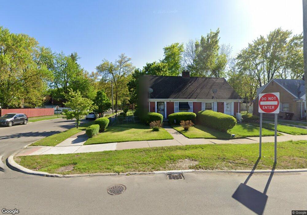
21650 Moross Rd Grosse Pointe, MI 48236
Cornerstone Village NeighborhoodEstimated Value: $79,000 - $127,000
Studio
1
Bath
819
Sq Ft
$118/Sq Ft
Est. Value
About This Home
This home is located at 21650 Moross Rd, Grosse Pointe, MI 48236 and is currently estimated at $96,262, approximately $117 per square foot. 21650 Moross Rd is a home located in Wayne County with nearby schools including Marquette Elementary-Middle School, Edward 'Duke' Ellington Conservatory of Music and Art, and Charles L. Spain Elementary-Middle School.
Ownership History
Date
Name
Owned For
Owner Type
Purchase Details
Closed on
Oct 10, 2022
Sold by
Hudson Antonio
Bought by
Harris-El Spence
Current Estimated Value
Purchase Details
Closed on
Sep 3, 2019
Sold by
Washington Nikkita L
Bought by
Hudson Antonio
Purchase Details
Closed on
Nov 17, 2015
Sold by
Barbieri Edward and Barbieri Josephine S
Bought by
Washington Nikkita L
Purchase Details
Closed on
Jun 26, 2012
Sold by
Barbieri Lea
Bought by
Barbieri Edward
Create a Home Valuation Report for This Property
The Home Valuation Report is an in-depth analysis detailing your home's value as well as a comparison with similar homes in the area
Home Values in the Area
Average Home Value in this Area
Purchase History
| Date | Buyer | Sale Price | Title Company |
|---|---|---|---|
| Harris-El Spence | -- | -- | |
| Hudson Antonio | $500 | None Available | |
| Washington Nikkita L | $17,000 | Attorney | |
| Barbieri Edward | -- | Attorney |
Source: Public Records
Tax History
| Year | Tax Paid | Tax Assessment Tax Assessment Total Assessment is a certain percentage of the fair market value that is determined by local assessors to be the total taxable value of land and additions on the property. | Land | Improvement |
|---|---|---|---|---|
| 2025 | $1,827 | $28,900 | $0 | $0 |
| 2024 | $1,555 | $24,800 | $0 | $0 |
| 2023 | $1,757 | $18,400 | $0 | $0 |
| 2022 | $1,292 | $14,700 | $0 | $0 |
| 2021 | $1,261 | $11,500 | $0 | $0 |
| 2020 | $1,260 | $10,400 | $0 | $0 |
| 2019 | $859 | $9,000 | $0 | $0 |
| 2018 | $746 | $8,600 | $0 | $0 |
| 2017 | $167 | $8,800 | $0 | $0 |
| 2016 | $1,005 | $11,000 | $0 | $0 |
| 2015 | $1,100 | $11,000 | $0 | $0 |
| 2013 | $1,570 | $15,700 | $0 | $0 |
| 2010 | -- | $23,019 | $825 | $22,194 |
Source: Public Records
Map
Nearby Homes
- 21718 Moross Rd
- 21756 Moross Rd
- 21800 Moross Rd
- 21806 Moross Rd
- 21820 Moross Rd
- 19134 Mallina St
- 19196 Berden St
- 6144 Radnor St
- 6300 Radnor St
- 21970 Moross Rd
- 5951 Radnor St
- 6166 Farmbrook St
- 6306 Farmbrook St
- 21602 Newcastle Rd
- 19299 Raymond St
- 5754 Farmbrook St
- 5514 Ashley St
- 5915 Lodewyck St
- 5745 Farmbrook St
- 5944 Marseilles St
- 21646 Moross Rd
- 21646 Moross Rd
- 21636 Moross Rd
- 21700 Moross Rd
- 19019 Rolandale St
- 21632 Moross Rd
- 21706 Moross Rd
- 21624 Moross Rd
- 19009 Rolandale St
- 6024 Hillcrest St
- 21620 Moross Rd
- 19001 Rolandale St
- 6016 Hillcrest St
- 21720 Moross Rd
- 18948 Berden St
- 21608 Moross Rd
- 6008 Hillcrest St
- 21730 Moross Rd
- 18921 Rolandale St
- 21604 Moross Rd
Your Personal Tour Guide
Ask me questions while you tour the home.