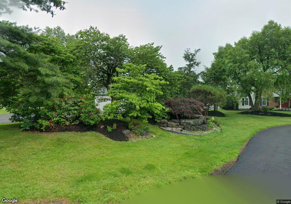
2166 Almshouse Rd Jamison, PA 18929
Estimated Value: $990,000 - $1,344,000
4
Beds
2
Baths
3,372
Sq Ft
$327/Sq Ft
Est. Value
About This Home
This home is located at 2166 Almshouse Rd, Jamison, PA 18929 and is currently estimated at $1,103,381, approximately $327 per square foot. 2166 Almshouse Rd is a home located in Bucks County with nearby schools including Jamison Elementary School, Tamanend Middle School, and Central Bucks High School - South.
Ownership History
Date
Name
Owned For
Owner Type
Purchase Details
Closed on
Apr 30, 1999
Sold by
Naragon Robert A
Bought by
Lamoureaux William A and Lamoureaux Kathy J
Current Estimated Value
Home Financials for this Owner
Home Financials are based on the most recent Mortgage that was taken out on this home.
Original Mortgage
$158,000
Outstanding Balance
$40,520
Interest Rate
6.95%
Estimated Equity
$1,062,861
Purchase Details
Closed on
May 2, 1989
Bought by
Whitney William H
Create a Home Valuation Report for This Property
The Home Valuation Report is an in-depth analysis detailing your home's value as well as a comparison with similar homes in the area
Home Values in the Area
Average Home Value in this Area
Purchase History
| Date | Buyer | Sale Price | Title Company |
|---|---|---|---|
| Lamoureaux William A | $258,000 | -- | |
| Whitney William H | -- | -- |
Source: Public Records
Mortgage History
| Date | Status | Borrower | Loan Amount |
|---|---|---|---|
| Open | Lamoureaux William A | $158,000 |
Source: Public Records
Tax History Compared to Growth
Tax History
| Year | Tax Paid | Tax Assessment Tax Assessment Total Assessment is a certain percentage of the fair market value that is determined by local assessors to be the total taxable value of land and additions on the property. | Land | Improvement |
|---|---|---|---|---|
| 2025 | $9,378 | $53,880 | $20,120 | $33,760 |
| 2024 | $9,378 | $53,880 | $20,120 | $33,760 |
| 2023 | $9,081 | $53,880 | $20,120 | $33,760 |
| 2022 | $8,980 | $53,880 | $20,120 | $33,760 |
| 2021 | $8,879 | $53,880 | $20,120 | $33,760 |
| 2020 | $8,879 | $53,880 | $20,120 | $33,760 |
| 2019 | $8,826 | $53,880 | $20,120 | $33,760 |
| 2018 | $8,826 | $53,880 | $20,120 | $33,760 |
| 2017 | $8,758 | $53,880 | $20,120 | $33,760 |
| 2016 | $8,758 | $53,880 | $20,120 | $33,760 |
| 2015 | -- | $53,880 | $20,120 | $33,760 |
| 2014 | -- | $53,880 | $20,120 | $33,760 |
Source: Public Records
Map
Nearby Homes
- 2018 Buckingham Dr
- 1834 Augusta Dr
- 1877 Brook Ln
- 2158 Green Ridge Dr
- 1249 Pebble Hill Rd
- 2807 Mountain Laurel Dr
- 1416 Angela Ct Unit 1004
- 2127 York Rd
- 1501 Deborah Ct Unit 2102
- 45 Bedford Ave
- 1554 Park Dr
- 108 Eagle Ct Unit 105
- 2761 York Rd
- 2226 Orchard Hill Cir
- 125 Edison Furlong Rd
- 1530 Spruce Ct
- Homesite 102 Marquis Ln
- Homesite 10102 Marquis Ln
- Homesite 10103 Marquis Ln
- Northbrook Plan at Jamison Place
- 2246 Cambridge Cir
- 2228 Cambridge Cir
- 2218 Cambridge Cir
- 2189 Pennsbury Dr
- 2242 Cambridge Cir
- 2199 Pennsbury Dr
- 2179 Pennsbury Dr
- 1956 Buckingham Dr
- 1964 Buckingham Dr
- 1972 Buckingham Dr
- 2169 Pennsbury Dr
- 2208 Cambridge Cir
- 1980 Buckingham Dr
- 2173 Almshouse Rd
- 1940 Buckingham Dr
- 2198 Cambridge Cir
- 2188 Cambridge Cir
- 2178 Cambridge Cir
- 2170 Cambridge Cir
- 2180 Pennsbury Dr