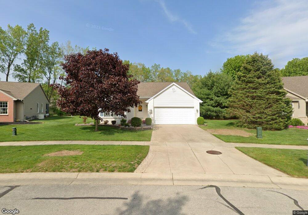
2166 Camden Ln Temperance, MI 48182
Estimated Value: $283,670 - $351,000
--
Bed
--
Bath
--
Sq Ft
10,019
Sq Ft Lot
About This Home
This home is located at 2166 Camden Ln, Temperance, MI 48182 and is currently estimated at $325,918. 2166 Camden Ln is a home located in Monroe County with nearby schools including Douglas Road Elementary School, Bedford Junior High School, and Bedford High School.
Ownership History
Date
Name
Owned For
Owner Type
Purchase Details
Closed on
Aug 4, 2016
Sold by
Strahl Joyce O
Bought by
Strahl Joyce O
Current Estimated Value
Purchase Details
Closed on
Dec 3, 2012
Sold by
Strah Joyce O
Bought by
Strahl Joyce O
Home Financials for this Owner
Home Financials are based on the most recent Mortgage that was taken out on this home.
Original Mortgage
$60,439
Outstanding Balance
$11,043
Interest Rate
3.25%
Mortgage Type
FHA
Estimated Equity
$314,875
Create a Home Valuation Report for This Property
The Home Valuation Report is an in-depth analysis detailing your home's value as well as a comparison with similar homes in the area
Home Values in the Area
Average Home Value in this Area
Purchase History
| Date | Buyer | Sale Price | Title Company |
|---|---|---|---|
| Strahl Joyce O | -- | Title Source | |
| Strahl Joyce O | -- | Title Source | |
| Strahl Joyce O | -- | None Available | |
| Strahl Joyce O | -- | None Available |
Source: Public Records
Mortgage History
| Date | Status | Borrower | Loan Amount |
|---|---|---|---|
| Open | Strahl Joyce O | $60,439 |
Source: Public Records
Tax History Compared to Growth
Tax History
| Year | Tax Paid | Tax Assessment Tax Assessment Total Assessment is a certain percentage of the fair market value that is determined by local assessors to be the total taxable value of land and additions on the property. | Land | Improvement |
|---|---|---|---|---|
| 2025 | $2,803 | $139,200 | $139,200 | $0 |
| 2024 | $1,138 | $131,900 | $0 | $0 |
| 2023 | $1,084 | $107,600 | $0 | $0 |
| 2022 | $2,582 | $107,600 | $0 | $0 |
| 2021 | $2,477 | $109,200 | $0 | $0 |
| 2020 | $2,365 | $92,900 | $0 | $0 |
| 2019 | $2,342 | $92,900 | $0 | $0 |
| 2018 | $2,112 | $94,400 | $0 | $0 |
| 2017 | $2,008 | $94,400 | $0 | $0 |
| 2016 | $1,998 | $94,400 | $0 | $0 |
| 2015 | $1,885 | $83,500 | $0 | $0 |
| 2014 | $1,885 | $83,500 | $0 | $0 |
| 2013 | $2,056 | $81,600 | $0 | $0 |
Source: Public Records
Map
Nearby Homes
- 6858 Yorktown Place
- 7010 Douglas Rd
- 7214 Powlesland Ave
- 7191 Powlesland Ave
- 6644 Douglas Rd
- 7350 Elmwood Dr
- 1905 Smith Rd
- 7305 Cinden Rd
- 1944 W Sterns Rd
- 6886 Stockport Dr
- 2863 Wiltshire Dr
- 2547 Hasen Dr
- 6334 Brent Valley Dr
- 1660 W Sterns Rd
- 6749 Stonegate Dr
- 6247 Cheltenham Dr
- 6311 Brent Valley Dr
- 7227 Kenilworth Dr
- 6796 Hartland Rd
- 2807 W Smith
- 2158 Camden Ln
- 2174 Camden Ln
- 2182 Camden Ln
- 2187 Camden Ln
- 2150 Camden Ln
- 2161 Camden Ln
- 2190 Camden Ln
- 2155 Stirrup Dr
- 2167 Stirrup Dr
- 2195 Camden Ln
- 2143 Stirrup Dr
- 2176 Princeton Ln
- 2179 Stirrup Dr
- 2198 Camden Ln
- 2160 Princeton Ln
- 2152 Princeton Ln
- 2131 Stirrup Dr
- 2203 Camden Ln
- 2191 Stirrup Dr
- 2144 Princeton Ln