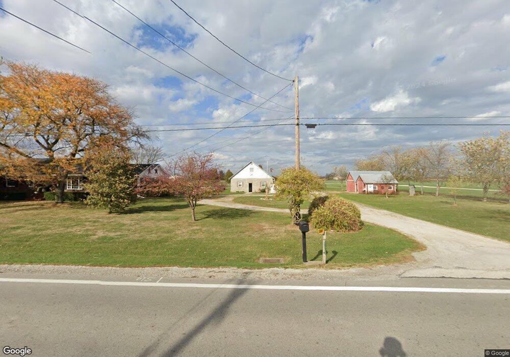
21661 W State Route 579 Curtice, OH 43412
Estimated Value: $214,258 - $358,000
3
Beds
1
Bath
1,368
Sq Ft
$192/Sq Ft
Est. Value
About This Home
This home is located at 21661 W State Route 579, Curtice, OH 43412 and is currently estimated at $263,065, approximately $192 per square foot. 21661 W State Route 579 is a home located in Ottawa County with nearby schools including Genoa Elementary School.
Ownership History
Date
Name
Owned For
Owner Type
Purchase Details
Closed on
Oct 1, 2007
Sold by
Polsdorfer Richard L and Polsdorfer Tamara K
Bought by
Kendrioski Stanley and Kendrioski Michelle A
Current Estimated Value
Home Financials for this Owner
Home Financials are based on the most recent Mortgage that was taken out on this home.
Original Mortgage
$134,000
Outstanding Balance
$85,616
Interest Rate
6.66%
Mortgage Type
Purchase Money Mortgage
Estimated Equity
$177,449
Purchase Details
Closed on
Dec 10, 2002
Sold by
Schimmel Lee Allen
Bought by
Polsdorfer Richard L and Polsdorfer Tamara K
Create a Home Valuation Report for This Property
The Home Valuation Report is an in-depth analysis detailing your home's value as well as a comparison with similar homes in the area
Home Values in the Area
Average Home Value in this Area
Purchase History
| Date | Buyer | Sale Price | Title Company |
|---|---|---|---|
| Kendrioski Stanley | $159,900 | Attorney | |
| Polsdorfer Richard L | $138,600 | -- |
Source: Public Records
Mortgage History
| Date | Status | Borrower | Loan Amount |
|---|---|---|---|
| Open | Kendrioski Stanley | $134,000 |
Source: Public Records
Tax History Compared to Growth
Tax History
| Year | Tax Paid | Tax Assessment Tax Assessment Total Assessment is a certain percentage of the fair market value that is determined by local assessors to be the total taxable value of land and additions on the property. | Land | Improvement |
|---|---|---|---|---|
| 2024 | $3,000 | $66,336 | $15,754 | $50,582 |
| 2023 | $3,000 | $51,125 | $12,282 | $38,843 |
| 2022 | $2,619 | $51,125 | $12,282 | $38,843 |
| 2021 | $2,311 | $51,120 | $12,280 | $38,840 |
| 2020 | $2,168 | $45,620 | $8,470 | $37,150 |
| 2019 | $2,151 | $45,620 | $8,470 | $37,150 |
| 2018 | $2,072 | $45,620 | $8,470 | $37,150 |
| 2017 | $1,947 | $40,570 | $7,700 | $32,870 |
| 2016 | $1,954 | $40,570 | $7,700 | $32,870 |
| 2015 | $1,967 | $40,570 | $7,700 | $32,870 |
| 2014 | $873 | $38,920 | $7,700 | $31,220 |
| 2013 | $876 | $38,920 | $7,700 | $31,220 |
Source: Public Records
Map
Nearby Homes
- 21224 W Toledo St
- 6927 N Wildacre Rd
- 0 W Walbridge Rd
- Track 1 W Walbridge Rd
- 19367 W Walbridge Rd
- 7330 Jerusalem Rd
- 24181 W James Ridge Rd
- 445 S Yondota Rd
- 9015 Seaman Rd
- 5300 Williston Rd
- 7105 N Elliston Trowbridge Rd
- 6645 Seaman Rd
- 5401 Pickle Rd
- 23105 W Edgefield Dr
- 725 Donovan Rd
- 23430 State Route 51 W
- 23225 Ohio 51
- 29453 Harriet St
- 29118 Millbury Rd
- 6530 Corduroy Rd
- 21661 Ohio 579
- 21689 W State Route 579
- 21680 W State Route 579
- 21660 W State Route 579
- 21700 W State Route 579
- 0 Lot C1 St Rt 579
- 0 Wildacre & St Rt 579
- 21750 W State Route 579
- 21550 W State Route 579
- 21721 W State Route 579
- 21507 W State Route 579
- 21485 W State Route 579
- 21471 W State Route 579
- 21880 Ohio 579
- 21453 Ohio 579
- 21453 W State Route 579
- 0 W Sr 579 Unit 5056229
- 0 Toledo Unit 5079872
- 21880 W State Route 579
- 21421 W State Route 579