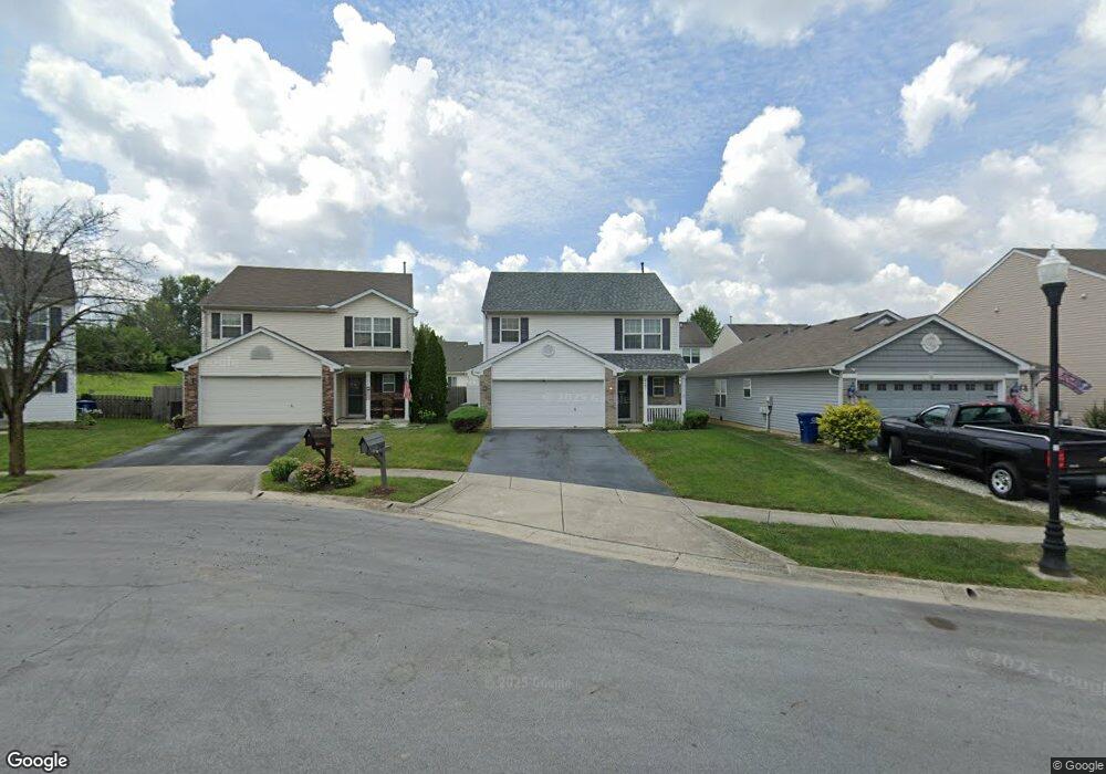
2167 Balais Ct Unit AP184 Grove City, OH 43123
Estimated Value: $292,000 - $320,750
3
Beds
3
Baths
1,689
Sq Ft
$182/Sq Ft
Est. Value
About This Home
This home is located at 2167 Balais Ct Unit AP184, Grove City, OH 43123 and is currently estimated at $307,688, approximately $182 per square foot. 2167 Balais Ct Unit AP184 is a home located in Franklin County with nearby schools including Georgian Heights Alt Elementary School, Wedgewood Middle School, and Briggs High School.
Ownership History
Date
Name
Owned For
Owner Type
Purchase Details
Closed on
Dec 16, 2022
Sold by
Simpson Linda M and Simpson William H
Bought by
Walker Georgetta and Walker Aaron Scott
Current Estimated Value
Home Financials for this Owner
Home Financials are based on the most recent Mortgage that was taken out on this home.
Original Mortgage
$131,000
Outstanding Balance
$126,795
Interest Rate
6.58%
Mortgage Type
Credit Line Revolving
Estimated Equity
$180,893
Purchase Details
Closed on
Nov 28, 2012
Sold by
Reynard Deborah A
Bought by
Simpson Linda M and Simpson William H
Purchase Details
Closed on
Apr 17, 2008
Sold by
Beazer Homes Investments Llc
Bought by
Reynard Deborah A
Home Financials for this Owner
Home Financials are based on the most recent Mortgage that was taken out on this home.
Original Mortgage
$133,800
Interest Rate
5.87%
Mortgage Type
FHA
Create a Home Valuation Report for This Property
The Home Valuation Report is an in-depth analysis detailing your home's value as well as a comparison with similar homes in the area
Home Values in the Area
Average Home Value in this Area
Purchase History
| Date | Buyer | Sale Price | Title Company |
|---|---|---|---|
| Walker Georgetta | $262,500 | Crown Search Box | |
| Simpson Linda M | $80,000 | None Available | |
| Reynard Deborah A | $135,900 | Stewart Tit |
Source: Public Records
Mortgage History
| Date | Status | Borrower | Loan Amount |
|---|---|---|---|
| Open | Walker Georgetta | $131,000 | |
| Previous Owner | Reynard Deborah A | $133,800 |
Source: Public Records
Tax History Compared to Growth
Tax History
| Year | Tax Paid | Tax Assessment Tax Assessment Total Assessment is a certain percentage of the fair market value that is determined by local assessors to be the total taxable value of land and additions on the property. | Land | Improvement |
|---|---|---|---|---|
| 2024 | $4,224 | $94,120 | $23,630 | $70,490 |
| 2023 | $4,170 | $94,120 | $23,630 | $70,490 |
| 2022 | $3,184 | $61,390 | $9,100 | $52,290 |
| 2021 | $3,190 | $61,390 | $9,100 | $52,290 |
| 2020 | $3,194 | $61,390 | $9,100 | $52,290 |
| 2019 | $2,792 | $46,030 | $7,000 | $39,030 |
| 2018 | $2,428 | $46,030 | $7,000 | $39,030 |
| 2017 | $2,791 | $46,030 | $7,000 | $39,030 |
| 2016 | $2,432 | $36,720 | $6,930 | $29,790 |
| 2015 | $2,208 | $36,720 | $6,930 | $29,790 |
| 2014 | $2,214 | $36,720 | $6,930 | $29,790 |
| 2013 | $1,213 | $40,810 | $7,700 | $33,110 |
Source: Public Records
Map
Nearby Homes
- 2157 Hierarch Ct
- 2081 Prominence Dr
- 3728 Miltonsburg Dr
- 2155 Pentress Dr
- 3987 Mad River Rd
- 2267 Holiday Valley Dr
- 2376 Boston Mills Dr
- 1966 Bay Port Dr
- 4247 Unroe Ave
- 3711 Fountain Cove Ln
- 3692 Fountain Cove Ln
- 3819 Alkire Rd
- 3491 Cove Lake Ln
- 3567 Alkire Rd
- 1751 Carrigallen Ln
- 4378 Charleston Ridge Ct
- 2345 Demorest Rd
- 1668 Kildare Place
- 3182 Weeping Spruce Dr
- 3174 Sitka Spruce Dr
- 2167 Balais Ct
- 2161 Balais Ct
- 2173 Balais Ct
- 2155 Balais Ct
- 2162 Hierarch Ct
- 2162 Hierarch Ct Unit AP172
- 2168 Hierarch Ct
- 2179 Balais Ct
- 2179 Balais Ct
- 2179 Balais Ct Unit AP186
- 2149 Balais Ct
- 2156 Hierarch Ct
- 2185 Balais Ct
- 2143 Balais Ct
- 2143 Balais Ct Unit AP180
- 2150 Hierarch Ct
- 2174 Hierarch Ct
- 2160 Balais Ct
- 2160 Balais Ct Unit AP192
- 2166 Balais Ct