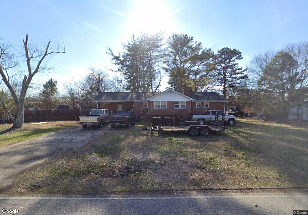
2167 Broad St Statham, GA 30666
Estimated Value: $302,000 - $362,000
2
Beds
2
Baths
1,688
Sq Ft
$197/Sq Ft
Est. Value
About This Home
This home is located at 2167 Broad St, Statham, GA 30666 and is currently estimated at $332,874, approximately $197 per square foot. 2167 Broad St is a home located in Barrow County with nearby schools including Statham Elementary School, Bear Creek Middle School, and Winder-Barrow High School.
Ownership History
Date
Name
Owned For
Owner Type
Purchase Details
Closed on
Apr 1, 2025
Sold by
Lackey Rex
Bought by
Lackey Zeb
Current Estimated Value
Purchase Details
Closed on
Sep 23, 2019
Sold by
Lackey Kim Casper
Bought by
Lackey Rex
Purchase Details
Closed on
Jun 1, 1986
Bought by
Lackey Rex and Kim Cas
Create a Home Valuation Report for This Property
The Home Valuation Report is an in-depth analysis detailing your home's value as well as a comparison with similar homes in the area
Home Values in the Area
Average Home Value in this Area
Purchase History
| Date | Buyer | Sale Price | Title Company |
|---|---|---|---|
| Lackey Zeb | -- | -- | |
| Lackey Rex | -- | -- | |
| Lackey Rex | $88,000 | -- |
Source: Public Records
Tax History Compared to Growth
Tax History
| Year | Tax Paid | Tax Assessment Tax Assessment Total Assessment is a certain percentage of the fair market value that is determined by local assessors to be the total taxable value of land and additions on the property. | Land | Improvement |
|---|---|---|---|---|
| 2024 | $590 | $75,019 | $24,605 | $50,414 |
| 2023 | $1,369 | $75,019 | $24,605 | $50,414 |
| 2022 | $1,533 | $56,324 | $24,605 | $31,719 |
| 2021 | $1,352 | $47,612 | $17,324 | $30,288 |
| 2020 | $1,313 | $46,283 | $18,600 | $27,683 |
| 2019 | $1,336 | $46,283 | $18,600 | $27,683 |
| 2018 | $1,308 | $46,096 | $18,600 | $27,496 |
| 2017 | $1,202 | $41,275 | $18,600 | $22,675 |
| 2016 | $1,144 | $41,664 | $18,600 | $23,064 |
| 2015 | $1,160 | $42,053 | $18,600 | $23,453 |
| 2014 | $887 | $32,956 | $9,114 | $23,842 |
| 2013 | -- | $32,154 | $9,114 | $23,040 |
Source: Public Records
Map
Nearby Homes
- 2166 Broad St
- 2166 Broad St Unit 1 lot 25
- 514 Hammond Rd Unit 1
- 2170 Broad St Unit 1
- 2170 Broad St
- 2155 Broad St
- 2176 Broad St Unit 1
- 508 Hammond Rd Unit 1
- 2167 Atlanta Hwy SE
- 515 Hammond Rd
- 2182 Broad St Unit 1
- 2183 Jackson Dr Unit 2
- 2181 Jackson Dr Unit 1
- 2186 Broad St
- 527 Reynolds Ct Unit 2
- 507 Hammond Rd
- 2146 Broad St Unit 1
- 529 Reynolds Ct
- 529 Reynolds Ct Unit 18
- 525 Reynolds Ct Unit 2