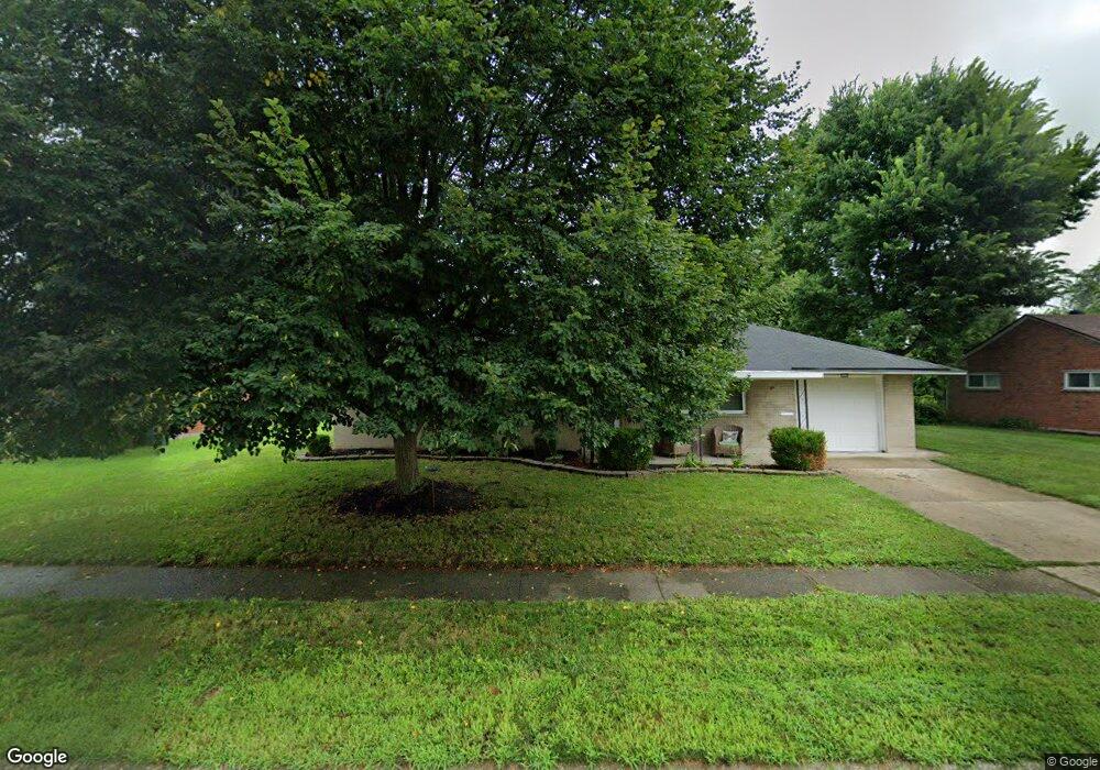
2167 Mattis Dr Dayton, OH 45439
Woodbourne-Hyde Park NeighborhoodEstimated Value: $169,338 - $199,000
3
Beds
1
Bath
1,080
Sq Ft
$171/Sq Ft
Est. Value
About This Home
This home is located at 2167 Mattis Dr, Dayton, OH 45439 and is currently estimated at $185,085, approximately $171 per square foot. 2167 Mattis Dr is a home located in Montgomery County with nearby schools including West Carrollton High School, Miami Valley Academies, and St. Albert the Great Catholic School.
Ownership History
Date
Name
Owned For
Owner Type
Purchase Details
Closed on
Mar 12, 2018
Sold by
Pond Edge Homes Llc
Bought by
Ruschau Real Estate Llc
Current Estimated Value
Purchase Details
Closed on
Jan 6, 2016
Sold by
Slattery Jack E
Bought by
Pond Edge Homes Llc
Home Financials for this Owner
Home Financials are based on the most recent Mortgage that was taken out on this home.
Interest Rate
4.01%
Purchase Details
Closed on
Oct 2, 2014
Sold by
Kuck Fred and Kuck Phyllis M
Bought by
Slattery Jack E and Slattery Judith L
Home Financials for this Owner
Home Financials are based on the most recent Mortgage that was taken out on this home.
Original Mortgage
$105,600
Interest Rate
3.5%
Mortgage Type
Adjustable Rate Mortgage/ARM
Create a Home Valuation Report for This Property
The Home Valuation Report is an in-depth analysis detailing your home's value as well as a comparison with similar homes in the area
Home Values in the Area
Average Home Value in this Area
Purchase History
| Date | Buyer | Sale Price | Title Company |
|---|---|---|---|
| Ruschau Real Estate Llc | $79,800 | None Available | |
| Pond Edge Homes Llc | -- | -- | |
| Slattery Jack E | $72,000 | Landmark Title Agency S Inc |
Source: Public Records
Mortgage History
| Date | Status | Borrower | Loan Amount |
|---|---|---|---|
| Previous Owner | Pond Edge Homes Llc | -- | |
| Previous Owner | Slattery Jack E | $105,600 |
Source: Public Records
Tax History Compared to Growth
Tax History
| Year | Tax Paid | Tax Assessment Tax Assessment Total Assessment is a certain percentage of the fair market value that is determined by local assessors to be the total taxable value of land and additions on the property. | Land | Improvement |
|---|---|---|---|---|
| 2024 | $3,235 | $45,210 | $7,820 | $37,390 |
| 2023 | $3,235 | $45,210 | $7,820 | $37,390 |
| 2022 | $2,820 | $30,340 | $5,250 | $25,090 |
| 2021 | $2,609 | $30,340 | $5,250 | $25,090 |
| 2020 | $2,612 | $30,340 | $5,250 | $25,090 |
| 2019 | $2,621 | $26,640 | $5,250 | $21,390 |
| 2018 | $2,456 | $26,640 | $5,250 | $21,390 |
| 2017 | $2,442 | $26,640 | $5,250 | $21,390 |
| 2016 | $2,426 | $26,220 | $5,250 | $20,970 |
| 2015 | $1,524 | $26,220 | $5,250 | $20,970 |
| 2014 | $1,524 | $26,220 | $5,250 | $20,970 |
| 2012 | -- | $26,710 | $7,000 | $19,710 |
Source: Public Records
Map
Nearby Homes
- 2090 Mattis Dr
- 1692 Hillwood Dr
- 1673 W Stroop Rd
- 4051 Ellery Ave
- 4207 S Dixie Dr
- 4301 Tait Rd
- 1952 Tait Circle Rd
- 1905 Tait Circle Rd
- 4629 Richwood Dr
- 4661 Richwood Dr
- 2639 Blanchard Ave
- 2050 William Ln
- 3720 Ridgeleigh Rd Unit D
- 2571 Cluster Ave
- 4792 Loxley Dr
- 1349 Tamerlane Rd
- 1955 Kresswood Cir
- 5084 Mays Ave
- 2399 Polo Park Dr
- 3225 Southdale Dr Unit 1
- 2153 Mattis Dr
- 2181 Mattis Dr
- 2154 Norway Dr
- 2168 Norway Dr
- 2140 Norway Dr
- 2168 Mattis Dr
- 2141 Mattis Dr
- 2195 Mattis Dr
- 2154 Mattis Dr
- 2182 Mattis Dr
- 2184 Norway Dr
- 2126 Norway Dr
- 2142 Mattis Dr
- 2196 Mattis Dr
- 2127 Mattis Dr
- 2209 Mattis Dr
- 2198 Norway Dr
- 2181 Owendale Dr
- 2143 Norway Dr
- 2128 Mattis Dr