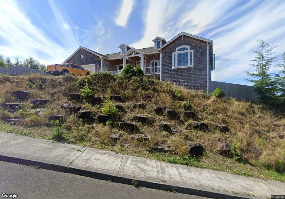
2167 Middle Fork Cir Seaside, OR 97138
Estimated Value: $778,000 - $950,000
4
Beds
3
Baths
3,088
Sq Ft
$282/Sq Ft
Est. Value
About This Home
This home is located at 2167 Middle Fork Cir, Seaside, OR 97138 and is currently estimated at $871,454, approximately $282 per square foot. 2167 Middle Fork Cir is a home located in Clatsop County with nearby schools including Seaside High School.
Ownership History
Date
Name
Owned For
Owner Type
Purchase Details
Closed on
Oct 2, 2008
Sold by
Maltman Brian M and Maltman Jamie R
Bought by
Beal Todd M
Current Estimated Value
Home Financials for this Owner
Home Financials are based on the most recent Mortgage that was taken out on this home.
Original Mortgage
$103,000
Outstanding Balance
$84,413
Interest Rate
5.9%
Mortgage Type
Credit Line Revolving
Estimated Equity
$787,041
Purchase Details
Closed on
Sep 13, 2006
Sold by
Olstedt Construction Inc
Bought by
Maltman Brian M and Maltman Jamie R
Home Financials for this Owner
Home Financials are based on the most recent Mortgage that was taken out on this home.
Original Mortgage
$580,000
Interest Rate
6.56%
Mortgage Type
Construction
Create a Home Valuation Report for This Property
The Home Valuation Report is an in-depth analysis detailing your home's value as well as a comparison with similar homes in the area
Purchase History
| Date | Buyer | Sale Price | Title Company |
|---|---|---|---|
| Beal Todd M | $650,000 | Ticor Title Ins Co | |
| Maltman Brian M | $250,000 | Pacific Title Company |
Source: Public Records
Mortgage History
| Date | Status | Borrower | Loan Amount |
|---|---|---|---|
| Open | Beal Todd M | $103,000 | |
| Open | Beal Todd M | $417,000 | |
| Previous Owner | Maltman Brian M | $580,000 |
Source: Public Records
Tax History
| Year | Tax Paid | Tax Assessment Tax Assessment Total Assessment is a certain percentage of the fair market value that is determined by local assessors to be the total taxable value of land and additions on the property. | Land | Improvement |
|---|---|---|---|---|
| 2025 | $7,890 | $549,059 | -- | -- |
| 2024 | $7,658 | $533,068 | -- | -- |
| 2023 | $7,432 | $517,543 | $0 | $0 |
| 2022 | $7,229 | $502,470 | $0 | $0 |
| 2021 | $7,075 | $487,836 | $0 | $0 |
| 2020 | $6,910 | $473,628 | $0 | $0 |
| 2019 | $6,722 | $459,834 | $0 | $0 |
Source: Public Records
Map
Nearby Homes
- 2188 Stanley Lake Ct
- 2110 Thompson Falls Dr
- 2285 N Fork Rd
- 2344 Royal View Dr
- 2657 N Hwy 101 Unit 6
- 0 Cross Creek St Unit 14
- 0 Cross Creek St Unit 13
- 0 Cross Creek St Unit 26-112
- 0 Cross Creek St Unit 11
- 0 Cross Creek St Unit 26-114
- 0 Cross Creek St Unit 12
- 0 Cross Creek St Unit 26-115
- 0 Cross Creek St Unit 10
- 0 Cross Creek St Unit 26-116
- 0 Cross Creek St Unit 26-117
- 2674 U S 101
- 2440 Pine St
- 481 Hillside Loop
- 1350 13th Ave
- 802 25th Ave
- 2167 Middle Fork Cr
- 2144 Middle Fork Cir
- 2166 Middle Fork Cir
- 2166 Middle Fork Cir Unit Lot11
- 2170 Middle Fork 1weuoumzl7rn
- 2162 Middle Fork Cir
- 2170 Middle Fork Cir
- 2151 Middle Fork Cir
- 2155 Middle Fork Cir
- 2147 Middle Fork Cir
- 2174 Middle Fork
- 2174 Middle Fork Cir
- 2140 Middle Fork
- 2140 Middle Fork Cir
- 2198 Middle Fork #26 Cir
- 2198 Middle Fork Cir Unit 26
- 0 Vl Middle Fork Cir Unit Lot 25
- 2202 Middle Fork Cir Unit Lot 24
- 2202 Middle Fork Cir
- VL Middle Fork Cir
Your Personal Tour Guide
Ask me questions while you tour the home.