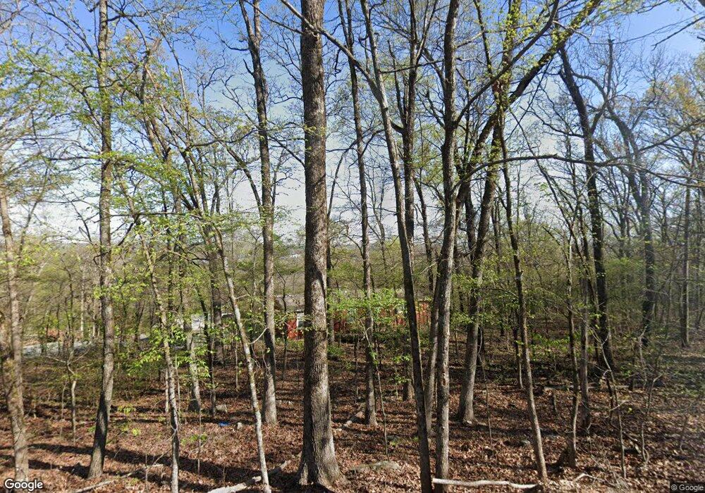
21672 W Crestview Rd Cookson, OK 74427
Estimated Value: $37,000 - $268,000
1
Bed
1
Bath
400
Sq Ft
$372/Sq Ft
Est. Value
About This Home
This home is located at 21672 W Crestview Rd, Cookson, OK 74427 and is currently estimated at $148,696, approximately $371 per square foot. 21672 W Crestview Rd is a home.
Ownership History
Date
Name
Owned For
Owner Type
Purchase Details
Closed on
Jun 7, 2021
Sold by
Cawthorne Robert E
Bought by
Cawthorne Robert K and Cawthorne Dana
Current Estimated Value
Purchase Details
Closed on
Apr 17, 2021
Sold by
Cawthorne Richard A and Cawthorne Patricia A
Bought by
Cawthorne Robert E
Purchase Details
Closed on
Nov 5, 2004
Sold by
Lonnie and Janice Goodman
Bought by
Richard Cawthorne
Purchase Details
Closed on
Sep 26, 2003
Sold by
Maxine L Taylor
Bought by
Lonnie L Goodman
Purchase Details
Closed on
Dec 6, 2002
Sold by
Lonnie L Goodman
Bought by
Maxine L Taylor
Create a Home Valuation Report for This Property
The Home Valuation Report is an in-depth analysis detailing your home's value as well as a comparison with similar homes in the area
Home Values in the Area
Average Home Value in this Area
Purchase History
| Date | Buyer | Sale Price | Title Company |
|---|---|---|---|
| Cawthorne Robert K | -- | None Available | |
| Cawthorne Robert E | -- | None Available | |
| Richard Cawthorne | -- | -- | |
| Lonnie L Goodman | $3,000 | -- | |
| Maxine L Taylor | -- | -- |
Source: Public Records
Tax History Compared to Growth
Tax History
| Year | Tax Paid | Tax Assessment Tax Assessment Total Assessment is a certain percentage of the fair market value that is determined by local assessors to be the total taxable value of land and additions on the property. | Land | Improvement |
|---|---|---|---|---|
| 2024 | $285 | $3,300 | $660 | $2,640 |
| 2023 | $285 | $3,300 | $660 | $2,640 |
| 2022 | $261 | $3,300 | $660 | $2,640 |
| 2021 | $205 | $2,575 | $660 | $1,915 |
| 2020 | $204 | $2,512 | $634 | $1,878 |
| 2019 | $192 | $2,393 | $604 | $1,789 |
| 2018 | $182 | $2,279 | $575 | $1,704 |
| 2017 | $174 | $2,170 | $542 | $1,628 |
| 2016 | $156 | $1,949 | $462 | $1,487 |
| 2015 | $145 | $1,938 | $459 | $1,479 |
| 2014 | $145 | $1,845 | $437 | $1,408 |
Source: Public Records
Map
Nearby Homes
- 21595 W 888 Rd
- 21245 W 888 Rd
- 30998 S Molly Brown Rd
- 15 S 550 Rd
- 13029300 State Highway 82
- 11029300 State Highway 82
- 5029300 State Highway 82
- 6629300 State Highway 82
- 13129300 State Highway 82
- 7929300 State Highway 82
- 7829300 State Highway 82
- 7729300 State Highway 82
- 4429300 State Highway 82
- 11129300 State Highway 82
- 20717 W 888 Rd
- 21331 W Cookson Bend Rd
- 31720 S 533 Rd
- 31663 S 530 Rd
- 32340 S Skyline Dr
- 32174 S Boulder Rd
- W W Crestview Rd
- 21670 W 891 Rd
- 21608 W 891 Rd
- 21744 W 891 Rd
- 21675 W Timberway Dr
- 21665 W Timberway Dr
- 21672 W Timberway Dr
- 21664 W Timberway Dr
- 21792 W Timberway Dr
- 21664 W Timber Way Dr
- 30796 S Woodhill Rd
- 21664 W Timberway Dr
- 30701 S Woodhill Rd
- 21738 W 891 Rd
- 21613 W 891 Rd
- 31274 S Molly Brown Rd
- 31179 S Molly Brown Mountain Rd
- 21325 W 898 Rd
- 21793 W Timberway Dr
- 0 W Crestview Rd Unit 1919809
