Estimated Value: $401,000 - $437,000
3
Beds
3
Baths
1,783
Sq Ft
$236/Sq Ft
Est. Value
About This Home
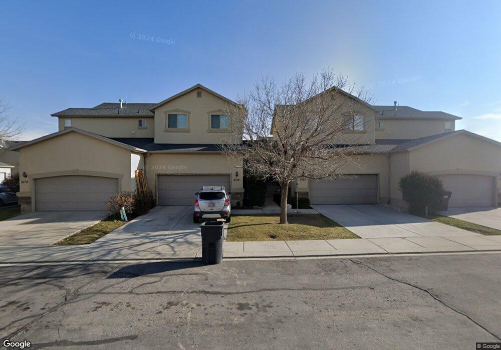
This home is located at 2168 N 2080 W, Lehi, UT 84043 and is currently estimated at $420,295, approximately $235 per square foot. 2168 N 2080 W is a home located in Utah County with nearby schools including Liberty Hills Elementary School, Skyridge High School, and Ascent Academies of Utah - Lehi Campus.
Ownership History
Date
Name
Owned For
Owner Type
Purchase Details
Closed on
May 18, 2017
Sold by
Semmens Carol J and Semmens Jeff M
Bought by
Marks Matthew S
Current Estimated Value
Home Financials for this Owner
Home Financials are based on the most recent Mortgage that was taken out on this home.
Original Mortgage
$203,603
Outstanding Balance
$168,714
Interest Rate
3.97%
Mortgage Type
New Conventional
Estimated Equity
$251,581
Purchase Details
Closed on
Mar 16, 2006
Sold by
Pointe Meadows Townhomes Llc
Bought by
Semmens Jeff M and Semmens Carol J
Home Financials for this Owner
Home Financials are based on the most recent Mortgage that was taken out on this home.
Original Mortgage
$123,200
Interest Rate
7.75%
Mortgage Type
Fannie Mae Freddie Mac
Create a Home Valuation Report for This Property
The Home Valuation Report is an in-depth analysis detailing your home's value as well as a comparison with similar homes in the area
Home Values in the Area
Average Home Value in this Area
Purchase History
| Date | Buyer | Sale Price | Title Company |
|---|---|---|---|
| Marks Matthew S | -- | Aspen Title | |
| Semmens Jeff M | -- | Cottonwood Title Insurance |
Source: Public Records
Mortgage History
| Date | Status | Borrower | Loan Amount |
|---|---|---|---|
| Open | Marks Matthew S | $203,603 | |
| Previous Owner | Semmens Jeff M | $123,200 |
Source: Public Records
Tax History Compared to Growth
Tax History
| Year | Tax Paid | Tax Assessment Tax Assessment Total Assessment is a certain percentage of the fair market value that is determined by local assessors to be the total taxable value of land and additions on the property. | Land | Improvement |
|---|---|---|---|---|
| 2025 | $1,860 | $217,415 | $58,100 | $337,200 |
| 2024 | $1,860 | $217,635 | $0 | $0 |
| 2023 | $1,638 | $208,120 | $0 | $0 |
| 2022 | $1,656 | $203,940 | $0 | $0 |
| 2021 | $1,497 | $278,800 | $41,800 | $237,000 |
| 2020 | $1,408 | $259,100 | $38,900 | $220,200 |
| 2019 | $1,249 | $239,100 | $35,900 | $203,200 |
| 2018 | $1,078 | $195,100 | $29,300 | $165,800 |
| 2017 | $972 | $93,500 | $0 | $0 |
| 2016 | $1,048 | $93,500 | $0 | $0 |
| 2015 | $1,104 | $93,500 | $0 | $0 |
| 2014 | $1,012 | $85,250 | $0 | $0 |
Source: Public Records
Map
Nearby Homes
- 1968 N 2040 W Unit 40
- 1969 N 2040 St W
- 2013 N 2040 W
- 1990 N 2040 W
- 1990 N 2040 W Unit 41
- 1912 W 2250 N
- 1898 W Pointe Meadow Loop
- 2196 N 2350 W
- 1970 N 2090 St W
- 1882 N 2230 St W Unit 24
- 2191 W Swift Fox Dr Unit 274
- 999 Empire St
- 2184 W Cape Fox Way N Unit 220
- 1920 N 2230 St W Unit 27
- 1060 N Canvasback Dr Unit 405
- 500 S Center St E
- 1672 S 70 W
- 2209 W Swift Fox Way Unit 271
- 2179 W Swift Fox Way Unit 276
- 2178 W Cape Fox Way Unit 221
- 2162 N 2080 W
- 2172 N 2080 W
- 2178 N 2080 W
- 2159 N 2040 W
- 2163 N 2040 W
- 2167 N 2040 W
- 2173 N 2040 W
- 2013 N 2040 W Unit 43
- 1969 N 2040 St W Unit 45
- 1991 N 2040 St W Unit 44
- 2167 N 2080 W
- 2173 N 2080 W Unit 14D
- 2163 N 2080 W
- 2159 N 2080 W
- 2068 W 2180 N
- 2068 W 2180 N Unit 20D
- 2062 W 2180 N
- 2062 W 2180 N Unit 21A
- 2052 W 2180 N Unit 21C
- 2058 W 2180 N