2168 W Brooks St Unit C Norman, OK 73069
Southwest Norman NeighborhoodEstimated Value: $66,000 - $141,000
3
Beds
2
Baths
1,191
Sq Ft
$84/Sq Ft
Est. Value
About This Home
This home is located at 2168 W Brooks St Unit C, Norman, OK 73069 and is currently estimated at $100,306, approximately $84 per square foot. 2168 W Brooks St Unit C is a home located in Cleveland County with nearby schools including Jackson Elementary School, Alcott Middle School, and Norman High School.
Ownership History
Date
Name
Owned For
Owner Type
Purchase Details
Closed on
Dec 7, 2015
Sold by
Chinook Llc
Bought by
4 Heritage Kingdom Llc
Current Estimated Value
Purchase Details
Closed on
Jul 15, 2011
Sold by
Farmers Insurance Group Federal Group Fe
Bought by
Deborah Kay Wall Revocable Living Trust
Purchase Details
Closed on
Nov 5, 2010
Sold by
Bright Joy Ann
Bought by
Farmers Insurance Group Federal Credit U
Purchase Details
Closed on
Nov 28, 2006
Sold by
Bryan Edward and Bryan Melissa
Bought by
Bright Joy Ann
Home Financials for this Owner
Home Financials are based on the most recent Mortgage that was taken out on this home.
Original Mortgage
$35,000
Interest Rate
6.37%
Mortgage Type
New Conventional
Create a Home Valuation Report for This Property
The Home Valuation Report is an in-depth analysis detailing your home's value as well as a comparison with similar homes in the area
Home Values in the Area
Average Home Value in this Area
Purchase History
| Date | Buyer | Sale Price | Title Company |
|---|---|---|---|
| 4 Heritage Kingdom Llc | $47,000 | Old Republic Title | |
| Deborah Kay Wall Revocable Living Trust | $36,500 | None Available | |
| Farmers Insurance Group Federal Credit U | -- | None Available | |
| Bright Joy Ann | $35,000 | None Available |
Source: Public Records
Mortgage History
| Date | Status | Borrower | Loan Amount |
|---|---|---|---|
| Previous Owner | Bright Joy Ann | $35,000 |
Source: Public Records
Tax History Compared to Growth
Tax History
| Year | Tax Paid | Tax Assessment Tax Assessment Total Assessment is a certain percentage of the fair market value that is determined by local assessors to be the total taxable value of land and additions on the property. | Land | Improvement |
|---|---|---|---|---|
| 2024 | $737 | $6,151 | $1,041 | $5,110 |
| 2023 | $703 | $5,858 | $1,174 | $4,684 |
| 2022 | $643 | $5,579 | $723 | $4,856 |
| 2021 | $678 | $5,579 | $723 | $4,856 |
| 2020 | $662 | $5,579 | $723 | $4,856 |
| 2019 | $674 | $5,579 | $723 | $4,856 |
| 2018 | $655 | $5,580 | $724 | $4,856 |
| 2017 | $661 | $5,580 | $0 | $0 |
| 2016 | $672 | $5,580 | $724 | $4,856 |
| 2015 | -- | $5,238 | $724 | $4,514 |
| 2014 | -- | $5,238 | $724 | $4,514 |
Source: Public Records
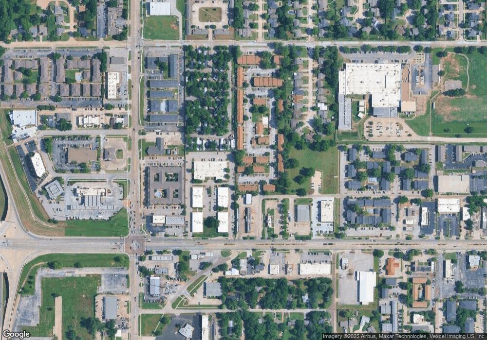
Map
Nearby Homes
- 920 Jona Kay Terrace
- 905 Jona Kay Terrace
- 720 Jona Kay Terrace
- 711 Westridge Terrace
- 832 Carriage Ln
- 1333 Homeland Ave
- 2012 W Boyd St
- 1301 24th Ave SW Unit 1305
- 1447 Homeland Ave
- 700 Claremont Dr
- 1614 Cruce St
- 1626 Lenox Dr
- 419 George L Cross Ct
- 1424 Avondale Dr
- 1221 Cruce St
- 1527 Camden Way
- 324 Thompson Dr
- 2301 Mckown Dr
- 2666 Brentwood Dr
- 1711 Westbrooke Terrace
- 2172 W Brooks St Unit D
- 2172 W Brooks St Unit C
- 2172 W Brooks St Unit B
- 2172 W Brooks St Unit A
- 2170 W Brooks St Unit D
- 2170 W Brooks St Unit C
- 2170 W Brooks St Unit B
- 2170 W Brooks St Unit A
- 2168 W Brooks St Unit D
- 2168 W Brooks St Unit A
- 2166 W Brooks St Unit D
- 2166 W Brooks St Unit C
- 2166 W Brooks St Unit B
- 2166 W Brooks St Unit A
- 2164 W Brooks St Unit D
- 2164 W Brooks St Unit C
- 2164 W Brooks St Unit B
- 2164 W Brooks St Unit A
- 2162 W Brooks St Unit D