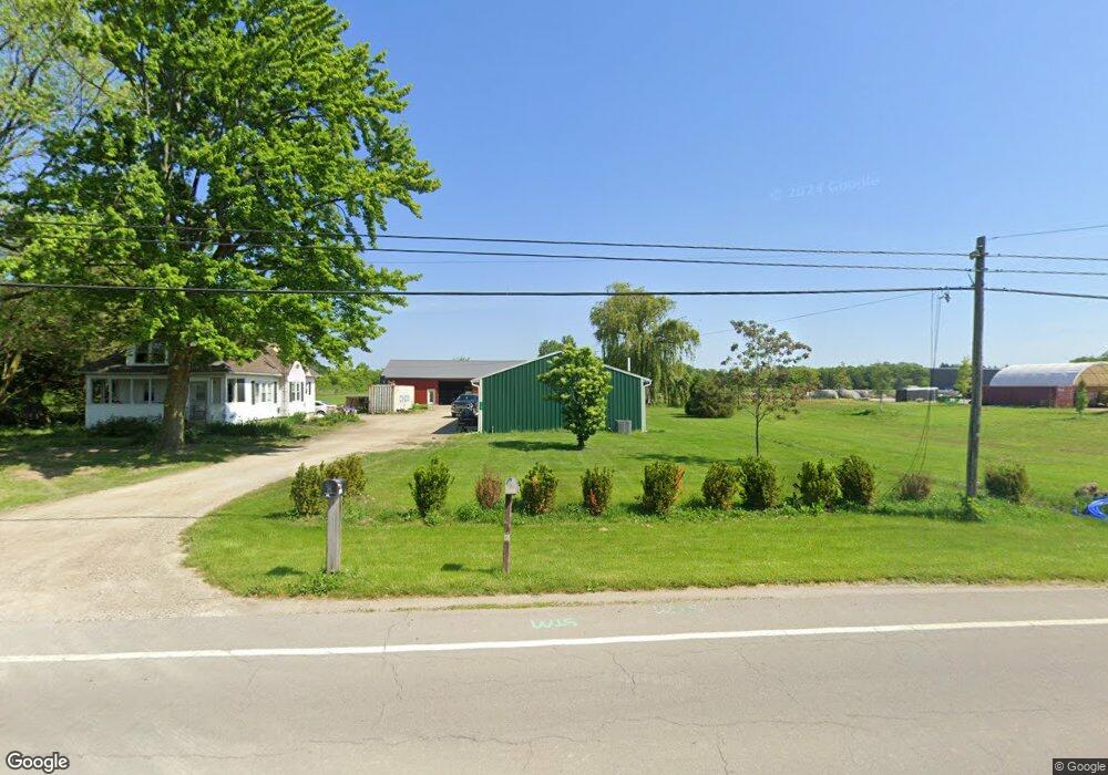
2169 E State Rd Port Clinton, OH 43452
Estimated Value: $164,000 - $289,460
4
Beds
2
Baths
1,310
Sq Ft
$165/Sq Ft
Est. Value
About This Home
This home is located at 2169 E State Rd, Port Clinton, OH 43452 and is currently estimated at $215,615, approximately $164 per square foot. 2169 E State Rd is a home located in Ottawa County with nearby schools including Bataan Memorial Primary School, Bataan Memorial Intermediate School, and Port Clinton Middle School.
Ownership History
Date
Name
Owned For
Owner Type
Purchase Details
Closed on
Jul 1, 2021
Sold by
Smith Laurie
Bought by
Leigheiser Andrew M
Current Estimated Value
Home Financials for this Owner
Home Financials are based on the most recent Mortgage that was taken out on this home.
Original Mortgage
$126,615
Outstanding Balance
$114,883
Interest Rate
2.9%
Mortgage Type
New Conventional
Estimated Equity
$100,732
Purchase Details
Closed on
May 12, 2006
Sold by
Morgan Jeffrey T and Morgan Carol
Bought by
Smith Laurie
Home Financials for this Owner
Home Financials are based on the most recent Mortgage that was taken out on this home.
Original Mortgage
$90,000
Interest Rate
6.54%
Mortgage Type
Purchase Money Mortgage
Purchase Details
Closed on
Jun 30, 2005
Sold by
Peto James A and Peto Judith Eunice June
Bought by
Morgan Et Al Jeffrey T
Create a Home Valuation Report for This Property
The Home Valuation Report is an in-depth analysis detailing your home's value as well as a comparison with similar homes in the area
Home Values in the Area
Average Home Value in this Area
Purchase History
| Date | Buyer | Sale Price | Title Company |
|---|---|---|---|
| Leigheiser Andrew M | $161,500 | Hartung Title Order | |
| Smith Laurie | $85,000 | Hartung Title Agency Inc | |
| Morgan Et Al Jeffrey T | $69,000 | -- |
Source: Public Records
Mortgage History
| Date | Status | Borrower | Loan Amount |
|---|---|---|---|
| Open | Leigheiser Andrew M | $126,615 | |
| Previous Owner | Smith Laurie | $90,000 |
Source: Public Records
Tax History
| Year | Tax Paid | Tax Assessment Tax Assessment Total Assessment is a certain percentage of the fair market value that is determined by local assessors to be the total taxable value of land and additions on the property. | Land | Improvement |
|---|---|---|---|---|
| 2024 | $3,208 | $92,943 | $23,331 | $69,612 |
| 2023 | $3,627 | $46,589 | $14,721 | $31,868 |
| 2022 | $2,184 | $46,771 | $14,721 | $32,050 |
| 2021 | $2,146 | $46,770 | $14,720 | $32,050 |
| 2020 | $1,917 | $38,920 | $11,780 | $27,140 |
| 2019 | $1,891 | $38,920 | $11,780 | $27,140 |
| 2018 | $1,845 | $38,920 | $11,780 | $27,140 |
| 2017 | $1,766 | $36,180 | $11,780 | $24,400 |
| 2016 | $1,770 | $36,180 | $11,780 | $24,400 |
| 2015 | $1,775 | $36,180 | $11,780 | $24,400 |
| 2014 | $893 | $36,180 | $11,780 | $24,400 |
| 2013 | $1,790 | $36,180 | $11,780 | $24,400 |
Source: Public Records
Map
Nearby Homes
- 19 N Beach St
- 2650 E Harbor Rd
- 0 E Harbor Rd
- 2350 E Sand Rd
- 1807 E Perry St Unit 69
- 199 Morningside Dr
- 111 Morningside Dr
- 1801 E Perry St Unit 22
- 1801 E Perry St Unit 28
- 188 Driftwood Dr
- 164 Driftwood Dr
- 183 Driftwood Dr
- 1990 E Lockwood Rd
- 1630 Waters Edge Dr
- 1506 E Perry St
- 311 Walnut St
- 116 Walnut St
- 2511 E Sand Rd
- 35 N Beach St
- 29 N Beach St
- 2157 E State Rd
- 2162 E State Rd
- 2160 E State Rd
- 2145 E State Rd
- 2144 E State Rd
- 2133 E State Rd
- 2143 E State Rd
- 2140 E State Rd
- 2126 E State Rd
- 2123 E State Rd
- 2122 E State Rd
- 2291 E State Rd
- 2120 E State Rd
- 2121 E State Rd
- 2118 E State Rd
- 2118 E State Rd
- 2117 E State Rd
- 2114 E State Rd
- 2297 E State Rd
- 2110 E State Rd
Your Personal Tour Guide
Ask me questions while you tour the home.