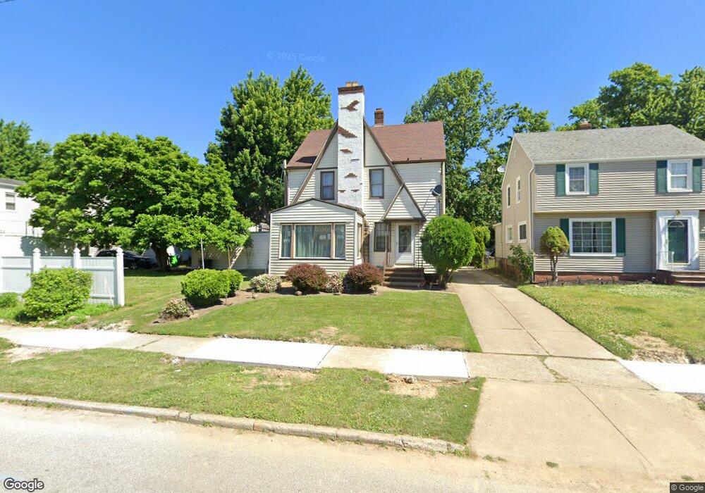
21691 Kennison Ave Euclid, OH 44123
Estimated Value: $153,091 - $173,000
4
Beds
3
Baths
1,495
Sq Ft
$109/Sq Ft
Est. Value
About This Home
This home is located at 21691 Kennison Ave, Euclid, OH 44123 and is currently estimated at $162,523, approximately $108 per square foot. 21691 Kennison Ave is a home located in Cuyahoga County with nearby schools including Arbor Elementary School, Euclid Middle School, and Euclid High School.
Ownership History
Date
Name
Owned For
Owner Type
Purchase Details
Closed on
Feb 4, 2002
Sold by
White Frederick A and White Alana F
Bought by
Donald Chandra J
Current Estimated Value
Home Financials for this Owner
Home Financials are based on the most recent Mortgage that was taken out on this home.
Original Mortgage
$127,991
Outstanding Balance
$53,595
Interest Rate
7.24%
Mortgage Type
FHA
Estimated Equity
$108,928
Purchase Details
Closed on
Nov 3, 1994
Sold by
Meyer Richard E
Bought by
White Frederick A and White Smith
Home Financials for this Owner
Home Financials are based on the most recent Mortgage that was taken out on this home.
Original Mortgage
$89,519
Interest Rate
8.75%
Mortgage Type
FHA
Purchase Details
Closed on
Jan 1, 1975
Bought by
Meyer Richard E and L A
Create a Home Valuation Report for This Property
The Home Valuation Report is an in-depth analysis detailing your home's value as well as a comparison with similar homes in the area
Home Values in the Area
Average Home Value in this Area
Purchase History
| Date | Buyer | Sale Price | Title Company |
|---|---|---|---|
| Donald Chandra J | $130,000 | -- | |
| White Frederick A | $89,899 | -- | |
| Meyer Richard E | -- | -- |
Source: Public Records
Mortgage History
| Date | Status | Borrower | Loan Amount |
|---|---|---|---|
| Open | Donald Chandra J | $127,991 | |
| Previous Owner | White Frederick A | $89,519 |
Source: Public Records
Tax History
| Year | Tax Paid | Tax Assessment Tax Assessment Total Assessment is a certain percentage of the fair market value that is determined by local assessors to be the total taxable value of land and additions on the property. | Land | Improvement |
|---|---|---|---|---|
| 2024 | $3,402 | $49,560 | $9,450 | $40,110 |
| 2023 | $3,002 | $34,760 | $6,790 | $27,970 |
| 2022 | $2,933 | $34,760 | $6,790 | $27,970 |
| 2021 | $3,271 | $34,760 | $6,790 | $27,970 |
| 2020 | $3,320 | $32,200 | $6,300 | $25,900 |
| 2019 | $2,986 | $92,000 | $18,000 | $74,000 |
| 2018 | $3,101 | $32,200 | $6,300 | $25,900 |
| 2017 | $3,455 | $30,910 | $5,250 | $25,660 |
| 2016 | $3,463 | $30,910 | $5,250 | $25,660 |
| 2015 | $3,149 | $30,910 | $5,250 | $25,660 |
| 2014 | $3,149 | $30,910 | $5,250 | $25,660 |
Source: Public Records
Map
Nearby Homes
- 324 E 215th St
- 226 E 216th St
- 421 Kenwood Dr Unit G
- 422 Clearview Dr Unit J10
- 450 Kenwood Dr Unit E12
- 22301 Milton Dr
- 461 Kenwood Dr Unit T3
- 470 Kenwood Dr Unit D
- 22751 Fox Ave
- 490 Kenwood Dr Unit B
- 273 E 208th St
- 21051 S Lake Shore Blvd
- 170 E 220th St
- 144 E 208th St
- 104 E 219th St
- 21000 Crystal Ave
- 20424 Lake Shore Blvd
- 20931 Priday Ave
- 21481 Ball Ave
- 20900 Priday Ave
- 21721 Kennison Ave
- 21759 Kennison Ave
- 315 E 216th St
- 313 E 216th St
- 317 E 216th St
- 309 E 216th St
- 21781 Kennison Ave
- 305 E 216th St
- 354 E 218th St
- 21785 Kennison Ave
- 301 E 216th St
- 21690 Kennison Ave
- 21720 Kennison Ave
- 21660 Kennison Ave
- 350 E 218th St
- 21750 Kennison Ave
- 21791 Kennison Ave
- 21630 Kennison Ave
- 21780 Kennison Ave
- 295 E 216th St
Your Personal Tour Guide
Ask me questions while you tour the home.