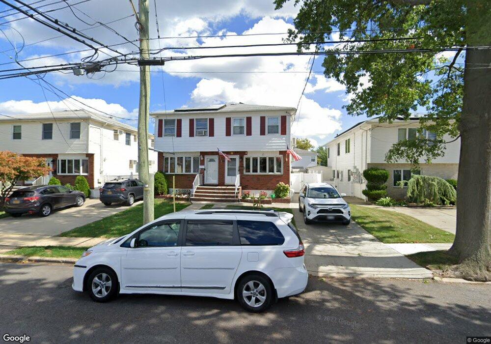
217 Abingdon Ave Staten Island, NY 10308
Great Kills NeighborhoodEstimated Value: $608,093 - $724,000
--
Bed
4
Baths
1,140
Sq Ft
$598/Sq Ft
Est. Value
About This Home
This home is located at 217 Abingdon Ave, Staten Island, NY 10308 and is currently estimated at $681,523, approximately $597 per square foot. 217 Abingdon Ave is a home located in Richmond County with nearby schools including P.S. 32 The Gifford School, Myra S. Barnes Intermediate School 24, and Susan E Wagner High School.
Ownership History
Date
Name
Owned For
Owner Type
Purchase Details
Closed on
Sep 27, 1995
Sold by
Bracco Vincent J and Bracco Janet G
Bought by
Koon Kit Ying and Koon Elisa
Current Estimated Value
Home Financials for this Owner
Home Financials are based on the most recent Mortgage that was taken out on this home.
Original Mortgage
$137,000
Outstanding Balance
$988
Interest Rate
7.89%
Estimated Equity
$680,535
Create a Home Valuation Report for This Property
The Home Valuation Report is an in-depth analysis detailing your home's value as well as a comparison with similar homes in the area
Home Values in the Area
Average Home Value in this Area
Purchase History
| Date | Buyer | Sale Price | Title Company |
|---|---|---|---|
| Koon Kit Ying | $147,000 | First American Title Ins Co |
Source: Public Records
Mortgage History
| Date | Status | Borrower | Loan Amount |
|---|---|---|---|
| Open | Koon Kit Ying | $137,000 |
Source: Public Records
Tax History Compared to Growth
Tax History
| Year | Tax Paid | Tax Assessment Tax Assessment Total Assessment is a certain percentage of the fair market value that is determined by local assessors to be the total taxable value of land and additions on the property. | Land | Improvement |
|---|---|---|---|---|
| 2025 | $6,253 | $37,260 | $7,916 | $29,344 |
| 2024 | $6,265 | $35,640 | $8,051 | $27,589 |
| 2023 | $5,884 | $30,694 | $6,952 | $23,742 |
| 2022 | $5,262 | $34,620 | $8,820 | $25,800 |
| 2021 | $5,570 | $33,600 | $8,820 | $24,780 |
| 2020 | $5,603 | $31,260 | $8,820 | $22,440 |
| 2019 | $5,379 | $33,240 | $8,820 | $24,420 |
| 2018 | $4,916 | $25,578 | $8,785 | $16,793 |
| 2017 | $4,671 | $24,384 | $8,514 | $15,870 |
| 2016 | $4,339 | $23,256 | $7,877 | $15,379 |
| 2015 | $3,319 | $23,223 | $8,660 | $14,563 |
| 2014 | $3,319 | $22,593 | $8,527 | $14,066 |
Source: Public Records
Map
Nearby Homes
- 63 Genesee Ave
- 223 Abingdon Ave
- 96 Genesee Ave
- 248 Abingdon Ave
- 151 Abingdon Ave
- 37 E Stroud Ave
- 234 Brookfield Ave
- 271 Doane Ave
- 270 Leverett Ave
- 57 Middle Loop Rd
- 919 Armstrong Ave
- 339 Abingdon Ave
- 360 Barlow Ave Unit 32
- 360 Barlow Ave Unit 12
- 510 Leverett Ave
- 221 B Katan Ave
- 43 Fern Ave
- 28 N Rhett Ave
- 15 Woodland Ave
- 538 Leverett Ave
- 219 Abingdon Ave
- 213 Abingdon Ave
- 221 Abingdon Ave
- 211 Abingdon Ave
- 207 Abingdon Ave
- 154 Brookfield Ave
- 152 Brookfield Ave
- 227 Abingdon Ave
- 158 Brookfield Ave
- 148 Brookfield Ave
- 205 Abingdon Ave
- 162 Brookfield Ave
- 144 Brookfield Ave
- 229 Abingdon Ave
- 203 Abingdon Ave
- 142 Brookfield Ave
- 4 E Scranton Ave
- 166 Brookfield Ave
- 218 Abingdon Ave