217 Apache Way Tewksbury, MA 01876
Estimated Value: $464,785 - $518,000
2
Beds
2
Baths
1,750
Sq Ft
$278/Sq Ft
Est. Value
About This Home
This home is located at 217 Apache Way, Tewksbury, MA 01876 and is currently estimated at $486,696, approximately $278 per square foot. 217 Apache Way is a home located in Middlesex County with nearby schools including Heath-Brook Elementary School, John W. Wynn Middle School, and John F. Ryan Elementary School.
Ownership History
Date
Name
Owned For
Owner Type
Purchase Details
Closed on
Jun 27, 2001
Sold by
Lavoie Mark A and Lavoie Laura M
Bought by
Kelledy Maureen A
Current Estimated Value
Home Financials for this Owner
Home Financials are based on the most recent Mortgage that was taken out on this home.
Original Mortgage
$155,900
Interest Rate
7.14%
Mortgage Type
Purchase Money Mortgage
Purchase Details
Closed on
Aug 30, 1993
Sold by
Sullivan Timothy and Sullivan Judith
Bought by
Lavoie Mark A and Lavoie Laura
Home Financials for this Owner
Home Financials are based on the most recent Mortgage that was taken out on this home.
Original Mortgage
$91,350
Interest Rate
7.06%
Mortgage Type
Purchase Money Mortgage
Create a Home Valuation Report for This Property
The Home Valuation Report is an in-depth analysis detailing your home's value as well as a comparison with similar homes in the area
Home Values in the Area
Average Home Value in this Area
Purchase History
| Date | Buyer | Sale Price | Title Company |
|---|---|---|---|
| Kelledy Maureen A | $194,900 | -- | |
| Lavoie Mark A | $101,500 | -- |
Source: Public Records
Mortgage History
| Date | Status | Borrower | Loan Amount |
|---|---|---|---|
| Open | Lavoie Mark A | $166,500 | |
| Closed | Lavoie Mark A | $155,900 | |
| Previous Owner | Lavoie Mark A | $91,350 |
Source: Public Records
Tax History
| Year | Tax Paid | Tax Assessment Tax Assessment Total Assessment is a certain percentage of the fair market value that is determined by local assessors to be the total taxable value of land and additions on the property. | Land | Improvement |
|---|---|---|---|---|
| 2025 | $5,753 | $435,200 | $0 | $435,200 |
| 2024 | $5,314 | $396,900 | $0 | $396,900 |
| 2023 | $4,897 | $347,300 | $0 | $347,300 |
| 2022 | $4,790 | $315,100 | $0 | $315,100 |
| 2021 | $4,691 | $298,400 | $0 | $298,400 |
| 2020 | $4,658 | $291,700 | $0 | $291,700 |
| 2019 | $4,188 | $264,400 | $0 | $264,400 |
| 2018 | $4,028 | $249,700 | $0 | $249,700 |
| 2017 | $3,782 | $231,900 | $0 | $231,900 |
| 2016 | $3,504 | $214,300 | $0 | $214,300 |
| 2015 | $3,138 | $191,700 | $0 | $191,700 |
| 2014 | $3,053 | $189,500 | $0 | $189,500 |
Source: Public Records
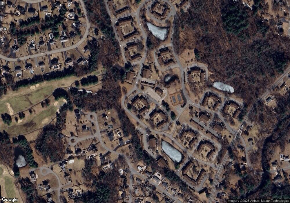
Map
Nearby Homes
- 72 Apache Way
- 47 Apache Way
- 258 Apache Way
- 127 Caddy Ct
- 107 Eagle Dr Unit 107
- 41 Bridge St
- 16 Eagle Dr
- 26 Ironwood Ln
- 1101 South St
- 640 South St
- 20 Kensington Way Unit 20
- 18 Knollwood Rd
- 29 Decarolis Dr
- 1418 Main St Unit 104
- 4 Villa Roma Dr
- 1325 Main
- 50 Nolan Ct Unit 50
- 6 Hillcrest Rd
- 15 10th St
- 14 Jill's Way Unit 14
- 218 Apache Way
- 216 Apache Way
- 215 Apache Way
- 216 Apache Way Unit 216
- 222 Apache Way
- 221 Apache Way
- 220 Apache Way
- 219 Apache Way
- 220 Apache Way Unit 220
- 214 Apache Way
- 213 Apache Way
- 212 Apache Way
- 211 Apache Way
- 226 Apache Way
- 225 Apache Way
- 224 Apache Way
- 223 Apache Way
- 230 Apache Way
- 229 Apache Way
- 228 Apache Way
Your Personal Tour Guide
Ask me questions while you tour the home.