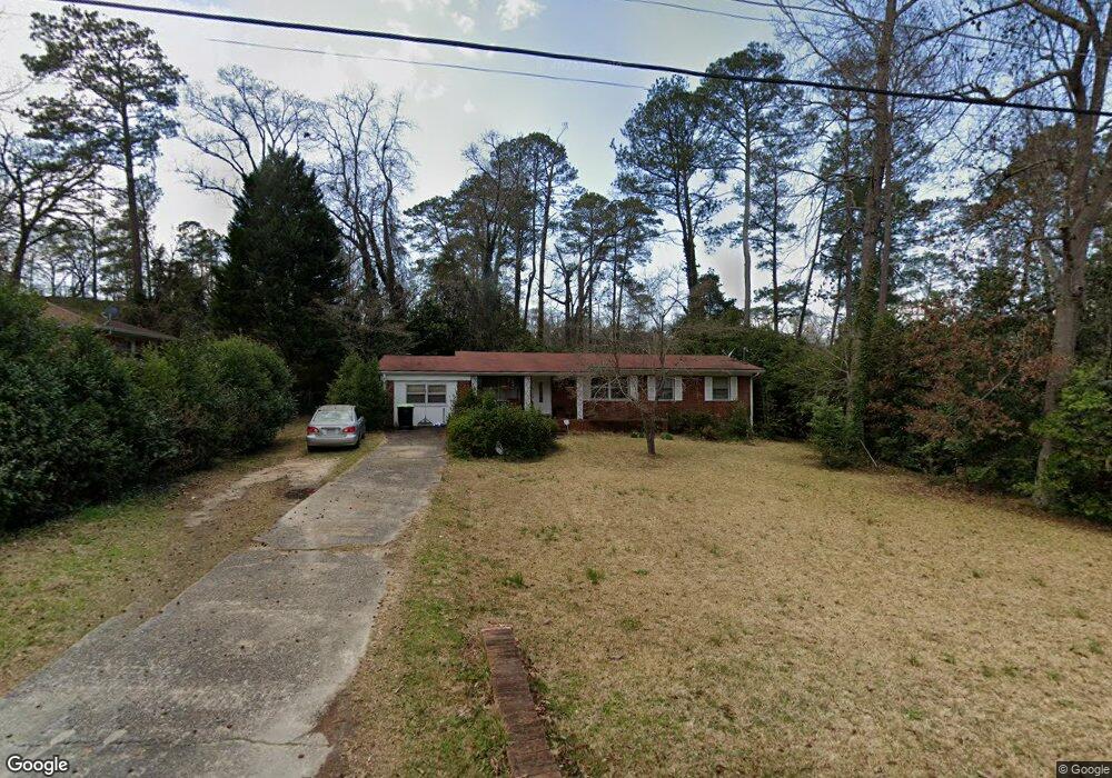
217 Ashby Way Warner Robins, GA 31088
Estimated Value: $169,663 - $196,000
3
Beds
2
Baths
1,716
Sq Ft
$104/Sq Ft
Est. Value
About This Home
This home is located at 217 Ashby Way, Warner Robins, GA 31088 and is currently estimated at $179,166, approximately $104 per square foot. 217 Ashby Way is a home located in Houston County with nearby schools including Shirley Hills Elementary School, Warner Robins Middle School, and Warner Robins High School.
Ownership History
Date
Name
Owned For
Owner Type
Purchase Details
Closed on
Nov 7, 2025
Sold by
Crenshaw John Andrew
Bought by
Crenshaw John Andrew and Crenshaw Peggy Soleto
Current Estimated Value
Purchase Details
Closed on
Apr 27, 2012
Sold by
Crenshaw Margaret F
Bought by
Crenshaw John Andrew
Purchase Details
Closed on
Mar 20, 1989
Sold by
Bacon Bacon R and Bacon Jamie L
Bought by
Crenshaw John A and Margaret F*
Purchase Details
Closed on
Nov 25, 1983
Sold by
Levine Yvonne R and Levine Gerald
Bought by
Bacon Bacon R and Bacon Jamie L
Purchase Details
Closed on
Nov 2, 1976
Sold by
Thomas Ronald M and Thomas Judith L
Bought by
Levine Yvonne R and Levine Gerald
Purchase Details
Closed on
Nov 8, 1973
Sold by
Adams Robert Gene and Bonnie Yaw
Bought by
Thomas Ronald M and Thomas Judith L
Purchase Details
Closed on
May 23, 1969
Sold by
Miller Wayne D
Bought by
Adams Robert Gene and Bonnie Yawn
Purchase Details
Closed on
Dec 18, 1967
Sold by
Knowles Larry L
Bought by
Miller Wayne D
Purchase Details
Closed on
Mar 14, 1961
Bought by
Knowles Larry L
Create a Home Valuation Report for This Property
The Home Valuation Report is an in-depth analysis detailing your home's value as well as a comparison with similar homes in the area
Home Values in the Area
Average Home Value in this Area
Purchase History
| Date | Buyer | Sale Price | Title Company |
|---|---|---|---|
| Crenshaw John Andrew | -- | None Listed On Document | |
| Crenshaw John Andrew | -- | None Available | |
| Crenshaw John A | -- | -- | |
| Bacon Bacon R | -- | -- | |
| Levine Yvonne R | -- | -- | |
| Thomas Ronald M | -- | -- | |
| Adams Robert Gene | -- | -- | |
| Miller Wayne D | -- | -- | |
| Knowles Larry L | -- | -- |
Source: Public Records
Tax History Compared to Growth
Tax History
| Year | Tax Paid | Tax Assessment Tax Assessment Total Assessment is a certain percentage of the fair market value that is determined by local assessors to be the total taxable value of land and additions on the property. | Land | Improvement |
|---|---|---|---|---|
| 2024 | $1,495 | $54,400 | $6,000 | $48,400 |
| 2023 | $1,219 | $45,640 | $6,000 | $39,640 |
| 2022 | $906 | $41,400 | $6,000 | $35,400 |
| 2021 | $789 | $36,120 | $6,000 | $30,120 |
| 2020 | $756 | $34,520 | $6,000 | $28,520 |
| 2019 | $756 | $34,520 | $6,000 | $28,520 |
| 2018 | $756 | $34,520 | $6,000 | $28,520 |
| 2017 | $756 | $34,520 | $6,000 | $28,520 |
| 2016 | $757 | $34,520 | $6,000 | $28,520 |
| 2015 | -- | $34,520 | $6,000 | $28,520 |
| 2014 | -- | $34,520 | $6,000 | $28,520 |
| 2013 | -- | $34,520 | $6,000 | $28,520 |
Source: Public Records
Map
Nearby Homes
- 219 Ashby Way
- 215 Ashby Way
- 306 Clairmont Dr
- 308 Clairmont Dr
- 221 Ashby Way
- 304 Clairmont Dr
- 310 Clairmont Dr
- 212 Ashby Way
- 214 Ashby Way
- 210 Ashby Way
- 216 Ashby Way
- 302 Clairmont Dr
- 312 Clairmont Dr
- 223 Ashby Way
- 211 Ashby Way
- 218 Ashby Way
- 208 Ashby Way
- 314 Clairmont Dr
- 305 Clairmont Dr
- 307 Clairmont Dr