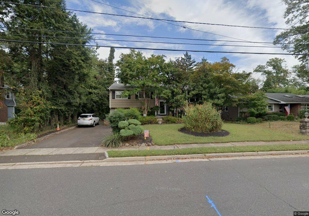
217 Ashland Rd Middlesex, NJ 08846
Estimated Value: $573,000 - $657,592
About This Home
This home is located at 217 Ashland Rd, Middlesex, NJ 08846 and is currently estimated at $615,898, approximately $244 per square foot. 217 Ashland Rd is a home located in Middlesex County with nearby schools including Middlesex High School and Our Lady of Mount Virgin School.
Ownership History
We collect this data history from publicly available records. To have your information removed, we recommend requesting removal directly through your county’s website.
Purchase Details
Home Financials for this Owner
Home Financials are based on the most recent Mortgage that was taken out on this home.Home Values in the Area
Average Home Value in this Area
Purchase History
We collect this data history from publicly available records. To have your information removed, we recommend requesting removal directly through your county’s website.
| Date | Buyer | Sale Price | Title Company |
|---|---|---|---|
| $416,000 | -- |
Mortgage History
We collect this data history from publicly available records. To have your information removed, we recommend requesting removal directly through your county’s website.
| Date | Status | Borrower | Loan Amount |
|---|---|---|---|
| Open | $326,000 |
Tax History
We collect this data history from publicly available records. To have your information removed, we recommend requesting removal directly through your county’s website.
| Year | Tax Paid | Tax Assessment Tax Assessment Total Assessment is a certain percentage of the fair market value that is determined by local assessors to be the total taxable value of land and additions on the property. | Land | Improvement |
|---|---|---|---|---|
| 2025 | $11,292 | $534,600 | $157,400 | $377,200 |
| 2024 | $10,751 | $488,000 | $157,400 | $330,600 |
| 2023 | $10,751 | $488,000 | $157,400 | $330,600 |
| 2022 | $10,346 | $104,600 | $38,400 | $66,200 |
| 2021 | $7,505 | $104,600 | $38,400 | $66,200 |
| 2020 | $9,855 | $104,600 | $38,400 | $66,200 |
| 2019 | $9,589 | $104,600 | $38,400 | $66,200 |
| 2018 | $9,298 | $104,600 | $38,400 | $66,200 |
| 2017 | $9,042 | $104,600 | $38,400 | $66,200 |
| 2016 | $8,744 | $104,600 | $38,400 | $66,200 |
| 2015 | $8,558 | $104,600 | $38,400 | $66,200 |
| 2014 | $8,395 | $104,600 | $38,400 | $66,200 |
Map
- 207 Grant Ave
- 116 Greene Ave
- 349 Union Ave
- 369 Union Ave
- 151 Beechwood Ave
- 531 Chestnut St
- 261 Beechwood Ave
- 421 Melrose Ave
- 420 Decatur Ave
- 507 E Union Ave
- 514 Melrose Ave
- 717 Hawthorne Ave
- 146 Giles Ave
- 286 Harris Ave
- 203 Harris Ave
- 108 Howard Ave
- 118 Benart Place
- 732 Park Ave
- 134 Benart Place
- 206 E Union Ave
Ask me questions while you tour the home.