Estimated Value: $1,773,000 - $1,969,000
4
Beds
2
Baths
1,378
Sq Ft
$1,348/Sq Ft
Est. Value
About This Home
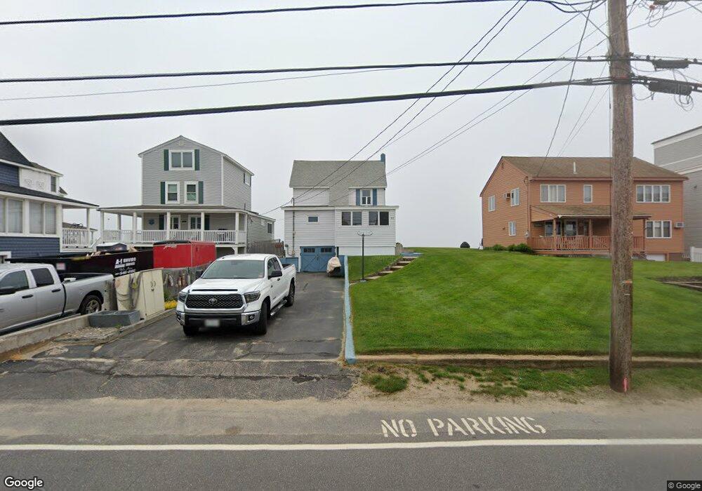
This home is located at 217 Atlantic Ave, Wells, ME 04090 and is currently estimated at $1,857,123, approximately $1,347 per square foot. 217 Atlantic Ave is a home located in York County with nearby schools including Wells Junior High School, Wells Elementary School, and Wells High School.
Ownership History
Date
Name
Owned For
Owner Type
Purchase Details
Closed on
Feb 6, 2012
Sold by
Mcgrath Juliette M
Bought by
Chabot Ann M and Chabot Darren W
Current Estimated Value
Home Financials for this Owner
Home Financials are based on the most recent Mortgage that was taken out on this home.
Original Mortgage
$704,000
Outstanding Balance
$479,498
Interest Rate
3.92%
Mortgage Type
Purchase Money Mortgage
Estimated Equity
$1,377,625
Create a Home Valuation Report for This Property
The Home Valuation Report is an in-depth analysis detailing your home's value as well as a comparison with similar homes in the area
Home Values in the Area
Average Home Value in this Area
Purchase History
| Date | Buyer | Sale Price | Title Company |
|---|---|---|---|
| Chabot Ann M | -- | -- | |
| Chabot Ann M | -- | -- |
Source: Public Records
Mortgage History
| Date | Status | Borrower | Loan Amount |
|---|---|---|---|
| Open | Chabot Ann M | $704,000 | |
| Closed | Chabot Ann M | $704,000 |
Source: Public Records
Tax History Compared to Growth
Tax History
| Year | Tax Paid | Tax Assessment Tax Assessment Total Assessment is a certain percentage of the fair market value that is determined by local assessors to be the total taxable value of land and additions on the property. | Land | Improvement |
|---|---|---|---|---|
| 2024 | $11,827 | $1,945,260 | $1,659,950 | $285,310 |
| 2023 | $11,594 | $1,945,260 | $1,659,950 | $285,310 |
| 2022 | $11,901 | $1,137,750 | $1,008,500 | $129,250 |
| 2021 | $11,969 | $1,137,750 | $1,008,500 | $129,250 |
| 2020 | $11,808 | $1,126,750 | $1,008,500 | $118,250 |
| 2019 | $11,589 | $1,112,190 | $1,008,500 | $103,690 |
| 2018 | $11,272 | $1,112,190 | $1,008,500 | $103,690 |
| 2017 | $11,300 | $1,112,190 | $1,008,500 | $103,690 |
| 2016 | $11,189 | $1,112,190 | $1,008,500 | $103,690 |
| 2015 | $11,066 | $1,112,190 | $1,008,500 | $103,690 |
| 2013 | $10,143 | $1,112,190 | $1,008,500 | $103,690 |
Source: Public Records
Map
Nearby Homes
- 229 Atlantic Ave
- 9 Robert Ln
- 61 Atlantic Ave Unit 3
- 58 Atlantic Ave Unit 12B
- 46 Ox Cart Ln
- 446 Atlantic Ave
- 500 Atlantic Ave Unit 2
- 42 Rachel Carson Ln
- 4 Tidal Ct
- 85 Mile Rd Unit 13
- 99 Harbor Rd Unit Lot 52
- 99 Harbor Rd Unit Lot 54
- 105 Harbor Rd
- 1351 Post Rd Unit 49
- 60 Merrifield Ct
- 1373 Post Rd Unit 10A
- 1373 Post Rd Unit 4E
- 1373 Post Rd Unit 2C
- 1373 Post Rd Unit 6B
- 1373 Post Rd Unit 1F
- 219 Atlantic Ave
- 221 Atlantic Ave
- 213 Atlantic Ave
- 216 Atlantic Ave
- 218 Atlantic Ave
- 222 Atlantic Ave
- 223 Atlantic Ave
- 225 Atlantic Ave
- 227 Atlantic Ave
- 231 Atlantic Ave
- 211 Atlantic Ave
- 209 Atlantic Ave
- 205 Atlantic Ave
- 39 Fifth Ave
- 8 Marshview St
- 226 Atlantic Ave
- 212 Atlantic Ave
- 208 Atlantic Ave
- 35 Fifth Ave
- 203 Atlantic Ave