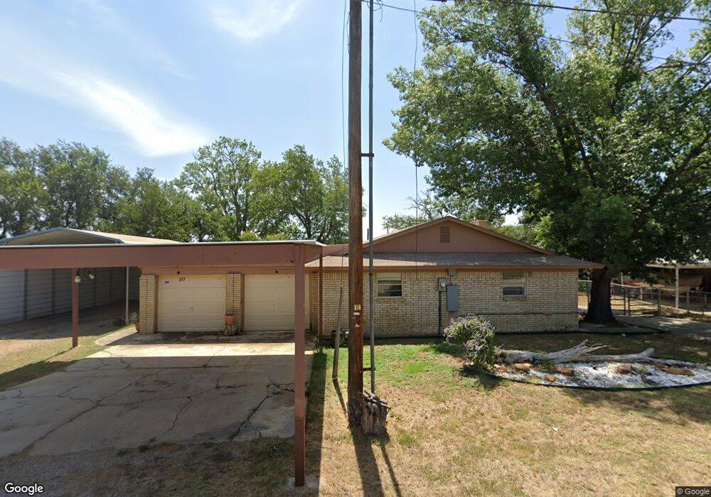
217 Avolyn Dr Brownwood, TX 76801
Estimated Value: $411,000 - $423,000
3
Beds
2
Baths
1,673
Sq Ft
$248/Sq Ft
Est. Value
About This Home
This home is located at 217 Avolyn Dr, Brownwood, TX 76801 and is currently estimated at $414,644, approximately $247 per square foot. 217 Avolyn Dr is a home located in Brown County with nearby schools including J.B. Stephens Elementary School, Bangs Middle School, and Bangs High School.
Ownership History
Date
Name
Owned For
Owner Type
Purchase Details
Closed on
Jun 28, 2022
Sold by
Turner and Moonyeen
Bought by
Turner Advisors Llc
Current Estimated Value
Purchase Details
Closed on
Jul 2, 2020
Sold by
Latham David Lee
Bought by
Turner Donald and Hontanosas Moonyeen
Home Financials for this Owner
Home Financials are based on the most recent Mortgage that was taken out on this home.
Original Mortgage
$242,100
Interest Rate
3.2%
Mortgage Type
New Conventional
Purchase Details
Closed on
Aug 15, 2017
Sold by
Harris Everett R and Harris Carolyn A
Bought by
Latham David Lee and Latham Nathan Rex
Create a Home Valuation Report for This Property
The Home Valuation Report is an in-depth analysis detailing your home's value as well as a comparison with similar homes in the area
Home Values in the Area
Average Home Value in this Area
Purchase History
| Date | Buyer | Sale Price | Title Company |
|---|---|---|---|
| Turner Advisors Llc | -- | None Listed On Document | |
| Turner Donald | -- | None Available | |
| Latham David Lee | -- | None Available |
Source: Public Records
Mortgage History
| Date | Status | Borrower | Loan Amount |
|---|---|---|---|
| Previous Owner | Turner Donald | $242,100 |
Source: Public Records
Tax History Compared to Growth
Tax History
| Year | Tax Paid | Tax Assessment Tax Assessment Total Assessment is a certain percentage of the fair market value that is determined by local assessors to be the total taxable value of land and additions on the property. | Land | Improvement |
|---|---|---|---|---|
| 2025 | $3,225 | $260,190 | $32,400 | $227,790 |
| 2024 | $4,491 | $362,370 | $32,400 | $329,970 |
| 2023 | $4,281 | $343,450 | $32,400 | $311,050 |
| 2022 | $4,726 | $327,380 | $24,130 | $303,250 |
| 2021 | $4,280 | $262,810 | $24,130 | $238,680 |
| 2020 | $1,377 | $80,270 | $12,065 | $68,205 |
| 2019 | $1,568 | $86,220 | $12,065 | $74,155 |
| 2018 | $3,111 | $169,650 | $24,130 | $145,520 |
| 2017 | $2,906 | $158,670 | $24,150 | $134,520 |
| 2016 | $2,906 | $158,670 | $24,150 | $134,520 |
| 2015 | -- | $150,880 | $24,150 | $126,730 |
| 2014 | -- | $150,880 | $24,150 | $126,730 |
Source: Public Records
Map
Nearby Homes
- 9224 Highway 279
- 6996 Shamrock Dr
- 6944 Shamrock Dr
- 6926 Shamrock Dr
- 6912 Ireland Dr
- 8042 County Road 546
- 6930 County Road 569
- 6959 Shamrock Dr
- 6908 Clover Leaf Dr
- 8765 Texas 279
- 6926 Turner Dr
- Lot 22 Turner Ranch Rd
- Lot 23 Turner Ranch Rd
- Tbd Saint Patrick Dr
- 7850 County Road 551
- N/A Newcastle Dr
- Lot 6 County Road 601
- 9555 County Road 456
- 7134 Emerald Dr
- 0 Donegal Dr