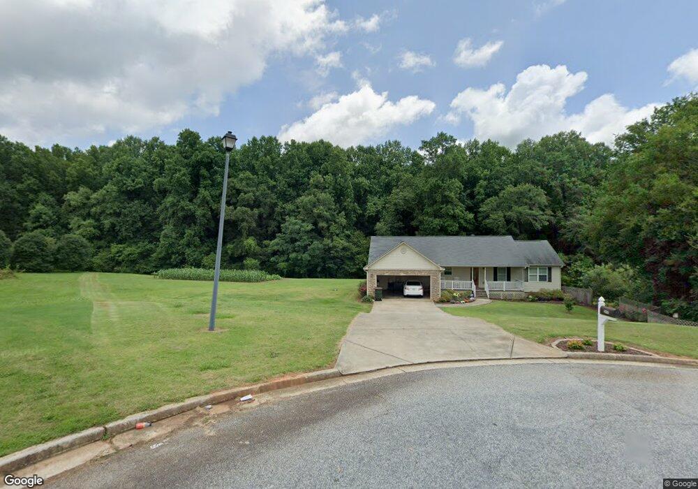
217 Ballast Trail Winder, GA 30680
Estimated Value: $348,530 - $380,000
--
Bed
2
Baths
1,610
Sq Ft
$227/Sq Ft
Est. Value
About This Home
This home is located at 217 Ballast Trail, Winder, GA 30680 and is currently estimated at $365,383, approximately $226 per square foot. 217 Ballast Trail is a home located in Barrow County with nearby schools including Statham Elementary School, Bear Creek Middle School, and Winder-Barrow High School.
Ownership History
Date
Name
Owned For
Owner Type
Purchase Details
Closed on
Mar 15, 2007
Sold by
Trammell Const Co Inc
Bought by
Trammell Jeremiah J
Current Estimated Value
Home Financials for this Owner
Home Financials are based on the most recent Mortgage that was taken out on this home.
Original Mortgage
$100,000
Interest Rate
6.12%
Mortgage Type
New Conventional
Purchase Details
Closed on
Apr 28, 2006
Sold by
R & S Developers Llc
Bought by
Trammell Construction Co Inc
Purchase Details
Closed on
Jul 2, 2004
Bought by
R & S Developers Llc
Create a Home Valuation Report for This Property
The Home Valuation Report is an in-depth analysis detailing your home's value as well as a comparison with similar homes in the area
Home Values in the Area
Average Home Value in this Area
Purchase History
| Date | Buyer | Sale Price | Title Company |
|---|---|---|---|
| Trammell Jeremiah J | $125,000 | -- | |
| Trammell Construction Co Inc | $36,500 | -- | |
| R & S Developers Llc | -- | -- |
Source: Public Records
Mortgage History
| Date | Status | Borrower | Loan Amount |
|---|---|---|---|
| Previous Owner | Trammell Jeremiah J | $100,000 |
Source: Public Records
Tax History Compared to Growth
Tax History
| Year | Tax Paid | Tax Assessment Tax Assessment Total Assessment is a certain percentage of the fair market value that is determined by local assessors to be the total taxable value of land and additions on the property. | Land | Improvement |
|---|---|---|---|---|
| 2024 | $3,306 | $131,353 | $24,000 | $107,353 |
| 2023 | $3,223 | $128,353 | $20,400 | $107,953 |
| 2022 | $2,716 | $92,524 | $20,400 | $72,124 |
| 2021 | $2,741 | $88,124 | $16,000 | $72,124 |
| 2020 | $2,746 | $88,124 | $16,000 | $72,124 |
| 2019 | $2,380 | $74,474 | $16,000 | $58,474 |
| 2018 | $2,283 | $72,074 | $13,600 | $58,474 |
| 2017 | $1,681 | $57,734 | $13,600 | $44,134 |
| 2016 | $1,778 | $55,983 | $13,600 | $42,383 |
| 2015 | $1,799 | $56,410 | $13,600 | $42,810 |
| 2014 | $1,666 | $50,258 | $7,448 | $42,810 |
| 2013 | -- | $8,048 | $7,448 | $600 |
Source: Public Records
Map
Nearby Homes
- 206 Ballast Trail
- 330 Anchors Way
- 1212 Highway 211 NE
- 1226 Highway 211 NE
- 1228 Georgia Highway 211
- 1228 Highway 211 NE
- 385 Finch Landing Rd
- 315 Paige Way
- 1423 Red Oak Way
- 1415 Red Oak Way
- 1593 Highway 82
- 1014 Brynn Dr
- 130 (Tract 1) Bowman Mill Rd NE
- 130 Bowman Mill Rd NE Unit 1
- 504 Stoney Creek Dr
- 1642 White Oak Dr
- 23 Pierce Trail
- 29 Nunnally Rd SE
- 388 Kay Dr Unit 1
- 419 Pleasant Hill Church Rd NE
- 1800 Hearthstone Dr
- 1800 Hearthstone Dr
- 214 Ballast Trail
- 212 Ballast Trail
- 211 Ballast Trail
- 119 Bower Ct
- 121 Bower Ct
- 210 Ballast Trail
- 210 Ballast Trail
- 117 Bower Ct
- 235 Bower Ct
- 180 Bower Ct
- 115 Bower Ct
- 123 Bower Ct
- 208 Ballast Trail
- 0 Ballast Trail Unit 7475183
- 0 Ballast Trail Unit 7287490
- 0 Ballast Trail Unit 7272972
- 0 Ballast Trail Unit 7170177
- 0 Ballast Trail Unit 7047493