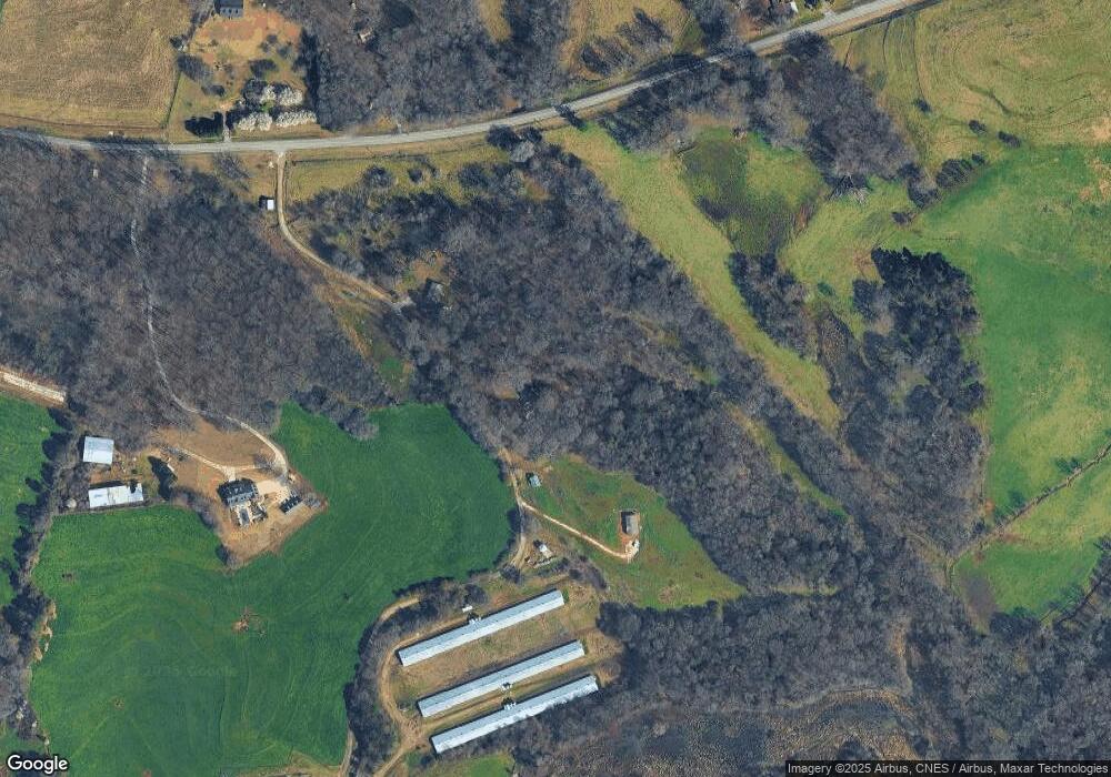
217 Blackberry Ln Carnesville, GA 30521
Estimated Value: $61,000 - $299,616
3
Beds
2
Baths
1,650
Sq Ft
$114/Sq Ft
Est. Value
About This Home
This home is located at 217 Blackberry Ln, Carnesville, GA 30521 and is currently estimated at $188,404, approximately $114 per square foot. 217 Blackberry Ln is a home located in Franklin County with nearby schools including Franklin County High School.
Ownership History
Date
Name
Owned For
Owner Type
Purchase Details
Closed on
Jan 16, 2004
Sold by
Coley David and Coley Rhonda
Bought by
Coley David
Current Estimated Value
Purchase Details
Closed on
Dec 21, 2000
Sold by
Pruitt J L
Bought by
Coley David and Coley Rhonda
Create a Home Valuation Report for This Property
The Home Valuation Report is an in-depth analysis detailing your home's value as well as a comparison with similar homes in the area
Purchase History
| Date | Buyer | Sale Price | Title Company |
|---|---|---|---|
| Coley David | -- | -- | |
| Coley David | -- | -- |
Source: Public Records
Tax History
| Year | Tax Paid | Tax Assessment Tax Assessment Total Assessment is a certain percentage of the fair market value that is determined by local assessors to be the total taxable value of land and additions on the property. | Land | Improvement |
|---|---|---|---|---|
| 2025 | $2,142 | $94,719 | $19,679 | $75,040 |
| 2024 | $1,924 | $82,835 | $12,677 | $70,158 |
| 2023 | $1,891 | $75,302 | $11,522 | $63,780 |
| 2022 | $1,679 | $67,070 | $9,140 | $57,930 |
| 2021 | $1,623 | $60,980 | $9,140 | $51,840 |
| 2020 | $1,640 | $60,980 | $9,140 | $51,840 |
| 2019 | $1,584 | $60,980 | $9,140 | $51,840 |
| 2018 | $1,365 | $52,797 | $7,475 | $45,322 |
| 2017 | $1,419 | $52,797 | $7,475 | $45,322 |
| 2016 | $1,337 | $47,810 | $7,475 | $40,335 |
| 2015 | -- | $47,809 | $7,475 | $40,335 |
| 2014 | -- | $47,810 | $7,475 | $40,335 |
| 2013 | -- | $0 | $0 | $0 |
Source: Public Records
Map
Nearby Homes
- 0 Georgia 198
- 0 Morris Trail Unit 10394631
- 1079 Hardeman Farm Rd
- 8750 Sandy Cross Rd
- 7660 Sandy Cross Rd
- 16600 Highway 59
- 0 Old Federal Rd Unit 6931372
- HWY 51 Owl Hollow Rd
- 5821 Georgia 320
- 140 Summit Ln
- 160 Georgia 320
- 183 Crestview Dr
- 7 Crest View Cir
- 8065 Sandy Cross Rd
- 6050 Sandy Cross Rd
- 9750 Lavonia Rd
- 735 Bowersville Rd
- 6343 Georgia 198
- 340 Mcfarlin Blvd
- 555 Hubbard Rd
- 18845 Highway 59
- 18700 Highway 59
- 18700 Highway 59
- 18800 Highway 59
- 19241 Highway 59
- 427 Bond Rd
- 18454 Highway 59
- 19181 Highway 59
- 19050 Highway 59
- 18240 Highway 59
- 1311 Nelms Rd
- 19266 Highway 59
- 18165 Highway 59
- 1025 Nelms Rd
- 3 AC Spiva Cove Unit 3
- 3 AC Spiva Cove
- 18065 Highway 59
- 1341 Nelms Rd
- 00 Cole Rd
- Lot 5 Middle Fork Ln
