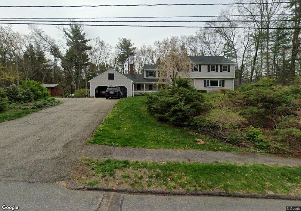
217 Border Rd Concord, MA 01742
Estimated Value: $1,264,000 - $1,416,000
5
Beds
3
Baths
2,685
Sq Ft
$490/Sq Ft
Est. Value
About This Home
This home is located at 217 Border Rd, Concord, MA 01742 and is currently estimated at $1,314,867, approximately $489 per square foot. 217 Border Rd is a home located in Middlesex County with nearby schools including Thoreau Elementary School, Concord Middle School, and Concord Carlisle High School.
Ownership History
Date
Name
Owned For
Owner Type
Purchase Details
Closed on
Sep 30, 2014
Sold by
Ecker Cynthia L
Bought by
Ecker 2Nd Frederick H and Newton Katherine F
Current Estimated Value
Home Financials for this Owner
Home Financials are based on the most recent Mortgage that was taken out on this home.
Original Mortgage
$540,000
Outstanding Balance
$414,293
Interest Rate
4.12%
Mortgage Type
Purchase Money Mortgage
Estimated Equity
$900,574
Purchase Details
Closed on
Mar 23, 1989
Sold by
Kabele William C
Bought by
Green Charles J
Create a Home Valuation Report for This Property
The Home Valuation Report is an in-depth analysis detailing your home's value as well as a comparison with similar homes in the area
Home Values in the Area
Average Home Value in this Area
Purchase History
| Date | Buyer | Sale Price | Title Company |
|---|---|---|---|
| Ecker 2Nd Frederick H | $740,000 | -- | |
| Green Charles J | $375,000 | -- |
Source: Public Records
Mortgage History
| Date | Status | Borrower | Loan Amount |
|---|---|---|---|
| Open | Ecker 2Nd Frederick H | $540,000 | |
| Previous Owner | Green Charles J | $25,000 | |
| Previous Owner | Green Charles J | $190,000 | |
| Previous Owner | Green Charles J | $156,000 |
Source: Public Records
Tax History
| Year | Tax Paid | Tax Assessment Tax Assessment Total Assessment is a certain percentage of the fair market value that is determined by local assessors to be the total taxable value of land and additions on the property. | Land | Improvement |
|---|---|---|---|---|
| 2025 | $133 | $1,002,800 | $385,300 | $617,500 |
| 2024 | $13,167 | $1,002,800 | $385,300 | $617,500 |
| 2023 | $11,781 | $909,000 | $321,100 | $587,900 |
| 2022 | $11,442 | $775,200 | $284,900 | $490,300 |
| 2021 | $11,130 | $756,100 | $284,900 | $471,200 |
| 2020 | $10,825 | $760,700 | $284,900 | $475,800 |
| 2019 | $10,699 | $754,000 | $303,700 | $450,300 |
| 2018 | $10,665 | $746,300 | $302,200 | $444,100 |
| 2017 | $10,066 | $715,400 | $271,300 | $444,100 |
| 2016 | $9,947 | $714,600 | $271,300 | $443,300 |
| 2015 | $9,044 | $632,900 | $251,300 | $381,600 |
Source: Public Records
Map
Nearby Homes
- 96 Forest Ridge Rd Unit 96
- 1201 Old Marlboro Rd
- 2 Skyview Ln
- 100 Harrington Ave
- 1844 Main St Unit 1844
- 26 Field Rd
- 23 Deer Path Unit 5
- 42 Dakin Rd
- 57 Longfellow Rd
- 27 Water St
- 37 Water St
- 20 Westvale Meadows Unit C
- 70 Powder Mill Rd
- 1 Drummer Rd Unit A5
- 68 Powder Mill Rd
- 66 Powder Mill Rd
- 31 Drummer Rd Unit 31
- 66 Old Stow Rd
- 377 Willis Rd
- 53 Prairie St
Your Personal Tour Guide
Ask me questions while you tour the home.