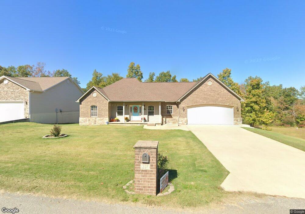
217 Boulder Trail Poplar Bluff, MO 63901
Estimated Value: $285,282 - $326,000
About This Home
This home is located at 217 Boulder Trail, Poplar Bluff, MO 63901 and is currently estimated at $307,571, approximately $180 per square foot. 217 Boulder Trail is a home located in Butler County with nearby schools including Oak Grove Elementary School, Poplar Bluff Fifth & Sixth Grade Center, and Poplar Bluff Junior High School.
Ownership History
We collect this data history from publicly available records. To have your information removed, we recommend requesting removal directly through your county’s website.
Purchase Details
Home Financials for this Owner
Home Financials are based on the most recent Mortgage that was taken out on this home.Purchase Details
Home Values in the Area
Average Home Value in this Area
Purchase History
We collect this data history from publicly available records. To have your information removed, we recommend requesting removal directly through your county’s website.
| Date | Buyer | Sale Price | Title Company |
|---|---|---|---|
| -- | -- | ||
| -- | -- |
Mortgage History
We collect this data history from publicly available records. To have your information removed, we recommend requesting removal directly through your county’s website.
| Date | Status | Borrower | Loan Amount |
|---|---|---|---|
| Open | $170,730 |
Tax History
We collect this data history from publicly available records. To have your information removed, we recommend requesting removal directly through your county’s website.
| Year | Tax Paid | Tax Assessment Tax Assessment Total Assessment is a certain percentage of the fair market value that is determined by local assessors to be the total taxable value of land and additions on the property. | Land | Improvement |
|---|---|---|---|---|
| 2025 | $1,865 | $42,880 | $0 | $0 |
| 2024 | $18 | $39,730 | $0 | $0 |
| 2023 | $1,769 | $39,730 | $0 | $0 |
| 2022 | $1,709 | $38,460 | $0 | $0 |
| 2021 | $1,710 | $38,460 | $0 | $0 |
| 2020 | $1,689 | $37,400 | $0 | $0 |
| 2019 | $1,687 | $37,400 | $0 | $0 |
| 2018 | $1,687 | $37,400 | $0 | $0 |
| 2017 | -- | $37,400 | $0 | $0 |
| 2016 | -- | $37,400 | $0 | $0 |
| 2015 | -- | $37,400 | $0 | $0 |
| 2014 | -- | $36,270 | $0 | $0 |
| 2012 | -- | $36,270 | $0 | $0 |
Map
- 0 Boulder Trail
- 268 Redhead Ln
- 00 Mallard Trail
- 0 Mallard Trail Unit MIS26014074
- 319 Pintail Ln
- 6828 Morningside Dr
- 2810 E Old Oaks Rd
- 318 Kearbey Dr
- 1176 County Road 523
- 199 Terrell Ave
- 2184 J Bird Dr
- 2151 J Bird Dr
- 2013 Tumbleweed Trail
- 1619 County Road 523
- 205 Batson Lake Ln
- 3841 County Road 441
- 7209 Woodland Meadow Dr
- 6201 Pinecrest Dr
- 0 Bruce Unit MIS26035239
- 2802 Virginia Ln
- 233 Boulder Trail Dr
- 233 Boulder Trail Dr
- 237 Boulder Trail
- 218 Boulder Trail
- 218 Boulder Trail Dr
- 210 Boulder Trail
- 220 Boulder Trail
- 201 Boulder Trail
- 16 Boulder Trail
- 0 Boulder Trail
- 242 Boulder Trail
- 242 Boulder Trail Dr
- 247 Boulder Trail Dr
- 202 Boulder Trail Dr
- 252 Boulder Trail Dr
- 3230 Scarlet Dr
- 257 Boulder Trail Dr
- 262 Boulder Trail Dr
- 267 Boulder Trail Dr
- 222 Boulder Trail Dr
Ask me questions while you tour the home.