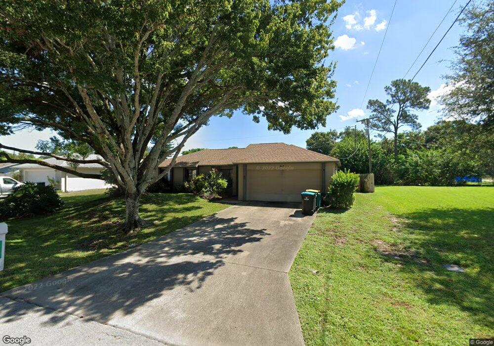
217 Brandt Ave NE Palm Bay, FL 32907
Port Malabar NeighborhoodEstimated Value: $240,000 - $276,000
3
Beds
2
Baths
1,260
Sq Ft
$203/Sq Ft
Est. Value
About This Home
This home is located at 217 Brandt Ave NE, Palm Bay, FL 32907 and is currently estimated at $256,330, approximately $203 per square foot. 217 Brandt Ave NE is a home located in Brevard County with nearby schools including Port Malabar Elementary School, Stone Magnet Middle School, and Palm Bay Magnet Senior High School.
Ownership History
Date
Name
Owned For
Owner Type
Purchase Details
Closed on
Oct 2, 2024
Sold by
Mccoy Mary Catherine
Bought by
Mccoy Mary Catherine and Gray Nicole Soper
Current Estimated Value
Purchase Details
Closed on
Jun 30, 2003
Sold by
Duncombe Jay C and Duncombe Gayle A
Bought by
Mccoy Mary C
Home Financials for this Owner
Home Financials are based on the most recent Mortgage that was taken out on this home.
Original Mortgage
$96,030
Interest Rate
5.3%
Create a Home Valuation Report for This Property
The Home Valuation Report is an in-depth analysis detailing your home's value as well as a comparison with similar homes in the area
Home Values in the Area
Average Home Value in this Area
Purchase History
| Date | Buyer | Sale Price | Title Company |
|---|---|---|---|
| Mccoy Mary Catherine | $100 | None Listed On Document | |
| Mccoy Mary C | $99,000 | First American Title Ins Co |
Source: Public Records
Mortgage History
| Date | Status | Borrower | Loan Amount |
|---|---|---|---|
| Previous Owner | Mccoy Mary C | $96,030 |
Source: Public Records
Tax History Compared to Growth
Tax History
| Year | Tax Paid | Tax Assessment Tax Assessment Total Assessment is a certain percentage of the fair market value that is determined by local assessors to be the total taxable value of land and additions on the property. | Land | Improvement |
|---|---|---|---|---|
| 2025 | $506 | $56,070 | -- | -- |
| 2024 | $496 | $54,490 | -- | -- |
| 2023 | $496 | $52,910 | $0 | $0 |
| 2022 | $480 | $51,370 | $0 | $0 |
| 2021 | $577 | $49,880 | $0 | $0 |
| 2020 | $562 | $49,200 | $0 | $0 |
| 2019 | $705 | $48,100 | $0 | $0 |
| 2018 | $688 | $47,210 | $0 | $0 |
| 2017 | $702 | $46,240 | $0 | $0 |
| 2016 | $517 | $45,290 | $5,500 | $39,790 |
| 2015 | $521 | $44,980 | $5,500 | $39,480 |
| 2014 | $521 | $44,630 | $5,500 | $39,130 |
Source: Public Records
Map
Nearby Homes
- 000 Pioneer Ave NE
- 449 Brookdale Ave NE
- 458 Beauregard Ave NE
- 1886 Garcia St NE
- 1712 Apache St NE
- 2040 Agora Cir SE
- 1779 Fallon Blvd NE
- 1795 Fallon Blvd NE Unit 6
- 1787 Fallon Blvd NE
- 2171 Fallon Blvd NE
- 225 Veldo Ave NE
- 2350 Fallon Blvd NE
- 2197 Paoli Dr NE
- 6125 Babcock St SE
- 2280 Fallon Blvd NE
- 1636 Moonbeam Dr Unit 1636
- 2407 Fallon Blvd NE
- 1678 W Stardust Dr
- 1581 Charles Blvd NE
- 1544 Nona St NE
- 233 Brandt Ave NE
- 1895 Biddle St NE
- 218 Cory Ave NE
- 234 Cory Ave NE
- 249 Brandt Ave NE Unit 6
- 249 Brandt Ave NE
- 202 Cory Ave NE
- 1885 Biddle St NE
- 234 Brandt Ave NE
- 250 Cory Ave NE
- 218 Brandt Ave NE
- 250 Brandt Ave NE
- 265 Brandt Ave NE
- 266 Cory Ave NE
- 217 Harvey Ave NE
- 217 Cory Ave NE
- 266 Brandt Ave NE
- 1949 Biddle St NE
- 0 Brandt Ave NE
- 233 Harvey Ave NE