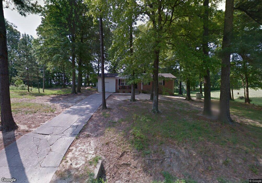
217 Bridges Cir Kings Mountain, NC 28086
Estimated Value: $140,537 - $199,000
--
Bed
--
Bath
1,228
Sq Ft
$138/Sq Ft
Est. Value
About This Home
This home is located at 217 Bridges Cir, Kings Mountain, NC 28086 and is currently estimated at $169,884, approximately $138 per square foot. 217 Bridges Cir is a home located in Cleveland County with nearby schools including Washington Elementary School, Burns Middle, and Burns High School.
Ownership History
Date
Name
Owned For
Owner Type
Purchase Details
Closed on
Mar 18, 2005
Sold by
Morris Denetrica
Bought by
Fidelty National Title Insurance Co
Current Estimated Value
Home Financials for this Owner
Home Financials are based on the most recent Mortgage that was taken out on this home.
Original Mortgage
$39,380
Outstanding Balance
$19,912
Interest Rate
5.57%
Mortgage Type
Future Advance Clause Open End Mortgage
Estimated Equity
$149,972
Create a Home Valuation Report for This Property
The Home Valuation Report is an in-depth analysis detailing your home's value as well as a comparison with similar homes in the area
Home Values in the Area
Average Home Value in this Area
Purchase History
| Date | Buyer | Sale Price | Title Company |
|---|---|---|---|
| Fidelty National Title Insurance Co | $35,800 | None Available |
Source: Public Records
Mortgage History
| Date | Status | Borrower | Loan Amount |
|---|---|---|---|
| Open | Fidelty National Title Insurance Co | $39,380 |
Source: Public Records
Tax History Compared to Growth
Tax History
| Year | Tax Paid | Tax Assessment Tax Assessment Total Assessment is a certain percentage of the fair market value that is determined by local assessors to be the total taxable value of land and additions on the property. | Land | Improvement |
|---|---|---|---|---|
| 2025 | $710 | $111,748 | $17,832 | $93,916 |
| 2024 | $596 | $64,822 | $14,801 | $50,021 |
| 2023 | $593 | $64,822 | $14,801 | $50,021 |
| 2022 | $593 | $64,822 | $14,801 | $50,021 |
| 2021 | $593 | $64,822 | $14,801 | $50,021 |
| 2020 | $556 | $58,252 | $14,097 | $44,155 |
| 2019 | $556 | $58,252 | $14,097 | $44,155 |
| 2018 | $551 | $58,252 | $14,097 | $44,155 |
| 2017 | $549 | $58,252 | $14,097 | $44,155 |
| 2016 | $522 | $58,252 | $14,097 | $44,155 |
| 2015 | $559 | $62,867 | $12,687 | $50,180 |
| 2014 | $559 | $62,867 | $12,687 | $50,180 |
Source: Public Records
Map
Nearby Homes
- 125 Bridges Cir
- 00 Marys Grove Church Rd
- 109 Daring Dr
- 00 Gary Beam Rd
- 109 Belmar Rd
- 106 Fabian Dr Unit 17
- 875 Marys Grove Rd
- 3367 Marshall Wolfe Rd
- 159 Hallman St
- 3202 Marshall Wolfe Rd
- Lot 194 Hallman St
- 139 Hallman St
- 103 Hallman St
- 109 Barrett Rd
- 125 1 S Main St
- 115 Woodberry Dr
- 125 S Main St
- 155 Castle Ct
- 213 Press Sweezy Rd
- 109 Nemans Cove
- 215 Bridges Cir
- 233 Bridges Cir
- 213 Bridges Cir
- 214 Bridges Cir
- 221 Bridges Cir
- 216 Bridges Cir
- 211 Bridges Cir
- 227 Bridges Cir
- 225 Bridges Cir
- 207 Bridges Cir
- 204 Bridges Cir
- 206 Bridges Cir
- 226 Bridges Cir
- 229 Bridges Cir
- 205 Bridges Cir
- 231 Bridges Cir
- 200 Bridges Cir
- 102 N Thompson St
- 230 Bridges Cir
- 322 Bridges Cir