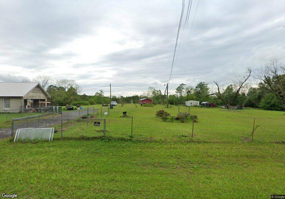
217 Bryan Rd Hartsfield, GA 31756
Estimated Value: $201,000 - $226,399
--
Bed
2
Baths
2,451
Sq Ft
$88/Sq Ft
Est. Value
About This Home
This home is located at 217 Bryan Rd, Hartsfield, GA 31756 and is currently estimated at $216,800, approximately $88 per square foot. 217 Bryan Rd is a home located in Colquitt County with nearby schools including Hamilton Elementary School, C.A. Gray Junior High School, and Willie J. Williams Middle School.
Ownership History
Date
Name
Owned For
Owner Type
Purchase Details
Closed on
Apr 6, 2017
Sold by
Daniel Nikki
Bought by
Hobbs David A and Covington Susan E
Current Estimated Value
Purchase Details
Closed on
Oct 25, 2016
Sold by
Otis M
Bought by
Daniel Nikki
Purchase Details
Closed on
Jun 20, 2005
Sold by
Hurst Otis M
Bought by
Mullis Robert Kendall and Mullis Amanda B
Purchase Details
Closed on
Dec 2, 2003
Sold by
Daniel Sandra Denise
Bought by
Hurst Otis M
Purchase Details
Closed on
Oct 2, 1995
Bought by
Daniel Sandra Denise
Create a Home Valuation Report for This Property
The Home Valuation Report is an in-depth analysis detailing your home's value as well as a comparison with similar homes in the area
Home Values in the Area
Average Home Value in this Area
Purchase History
| Date | Buyer | Sale Price | Title Company |
|---|---|---|---|
| Hobbs David A | $40,000 | -- | |
| Daniel Nikki | -- | -- | |
| Mullis Robert Kendall | $105,000 | -- | |
| Hurst Otis M | -- | -- | |
| Daniel Sandra Denise | -- | -- | |
| Hurst Otis M | -- | -- |
Source: Public Records
Tax History Compared to Growth
Tax History
| Year | Tax Paid | Tax Assessment Tax Assessment Total Assessment is a certain percentage of the fair market value that is determined by local assessors to be the total taxable value of land and additions on the property. | Land | Improvement |
|---|---|---|---|---|
| 2024 | $1,433 | $72,783 | $10,750 | $62,033 |
| 2023 | $1,493 | $56,404 | $10,750 | $45,654 |
| 2022 | $1,147 | $50,173 | $9,555 | $40,618 |
| 2021 | $1,054 | $45,407 | $9,555 | $35,852 |
| 2020 | $1,073 | $45,407 | $9,555 | $35,852 |
| 2019 | $1,022 | $39,169 | $9,555 | $29,614 |
| 2018 | $988 | $38,608 | $9,555 | $29,053 |
| 2017 | $1,211 | $44,512 | $14,326 | $30,186 |
| 2016 | $1,228 | $44,512 | $14,326 | $30,186 |
| 2015 | $1,239 | $44,512 | $14,326 | $30,186 |
| 2014 | $1,216 | $44,512 | $14,326 | $30,186 |
| 2013 | -- | $44,512 | $14,326 | $30,186 |
Source: Public Records
Map
Nearby Homes
- 1485 Bay Rd
- 156 E Maple St
- 155 N Kreuger St
- 0 Sam Sells Rd
- 1791 Funston Sigsbee Rd
- 417 W Bay Ave
- 511 W Broad Ave
- 318 E Culpepper Ave
- 715 W Robinson Ave
- 825 N Green St
- 104 Union Ln
- 0 Brest Station Rd Unit 10642758
- 00 Rossman Dairy Rd
- 6258 Stage Coach Rd
- Lot 45 Fox Trot Dr
- LOT 52 Fox Trot Dr
- LOT 58 Fox Trot Dr
- LOT 56 Fox Trot Dr
- LOT 54 Fox Trot Dr
- 0 Fox Trot Dr
- 868 Bryan Rd
- 4529 Thigpen Trail
- 710 Bryan Rd
- 283 Bass Rd
- 4317 Thigpen Trail
- 1315 Bryan Rd
- 4350 Thigpen Trail
- 401 Bass Rd
- 367 Bass Rd
- 4203 Thigpen Trail
- 4235 Thigpen Trail
- 1095A Bass Rd
- 4204 Thigpen Trail
- 521 Bass Rd
- 4035 Thigpen Trail
- 4009 Thigpen Trail
- 1342 Bass Rd
- 231 Dale Demott Rd
- 0 Thingpen Trail Rd