217 Center Point Ln Lansdale, PA 19446
Estimated Value: $520,000 - $541,000
3
Beds
3
Baths
2,359
Sq Ft
$224/Sq Ft
Est. Value
About This Home
This home is located at 217 Center Point Ln, Lansdale, PA 19446 and is currently estimated at $527,347, approximately $223 per square foot. 217 Center Point Ln is a home located in Montgomery County with nearby schools including Worcester Elementary School, Skyview Upper Elementary School, and Arcola Intermediate School.
Ownership History
Date
Name
Owned For
Owner Type
Purchase Details
Closed on
Mar 27, 2007
Sold by
Thobani Masooma
Bought by
Breen Kevin G
Current Estimated Value
Home Financials for this Owner
Home Financials are based on the most recent Mortgage that was taken out on this home.
Original Mortgage
$36,000
Outstanding Balance
$21,814
Interest Rate
6.19%
Estimated Equity
$505,533
Purchase Details
Closed on
Sep 5, 2002
Sold by
Ballina Barbara B
Bought by
Thobani Masooma
Purchase Details
Closed on
Aug 8, 1999
Sold by
Gambone Bros Development Co and Murdoch William B
Bought by
Ballina Barbara B
Create a Home Valuation Report for This Property
The Home Valuation Report is an in-depth analysis detailing your home's value as well as a comparison with similar homes in the area
Home Values in the Area
Average Home Value in this Area
Purchase History
| Date | Buyer | Sale Price | Title Company |
|---|---|---|---|
| Breen Kevin G | $360,000 | None Available | |
| Thobani Masooma | $322,000 | -- | |
| Ballina Barbara B | $229,086 | -- |
Source: Public Records
Mortgage History
| Date | Status | Borrower | Loan Amount |
|---|---|---|---|
| Open | Breen Kevin G | $36,000 | |
| Open | Breen Kevin G | $286,000 |
Source: Public Records
Tax History Compared to Growth
Tax History
| Year | Tax Paid | Tax Assessment Tax Assessment Total Assessment is a certain percentage of the fair market value that is determined by local assessors to be the total taxable value of land and additions on the property. | Land | Improvement |
|---|---|---|---|---|
| 2025 | $7,269 | $191,890 | $47,990 | $143,900 |
| 2024 | $7,269 | $191,890 | $47,990 | $143,900 |
| 2023 | $6,972 | $191,890 | $47,990 | $143,900 |
| 2022 | $6,837 | $191,890 | $47,990 | $143,900 |
| 2021 | $6,702 | $191,890 | $47,990 | $143,900 |
| 2020 | $6,577 | $191,890 | $47,990 | $143,900 |
| 2019 | $6,513 | $191,890 | $47,990 | $143,900 |
| 2018 | $749 | $191,890 | $47,990 | $143,900 |
| 2017 | $6,263 | $191,890 | $47,990 | $143,900 |
| 2016 | $6,189 | $191,890 | $47,990 | $143,900 |
| 2015 | $5,969 | $191,890 | $47,990 | $143,900 |
| 2014 | $5,969 | $191,890 | $47,990 | $143,900 |
Source: Public Records
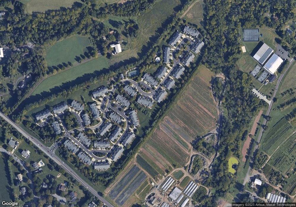
Map
Nearby Homes
- 2144 Schultz Rd
- 2725 Skippack Pike
- 2 Capri Ln Unit KINSLEY
- 2203 Weber Rd
- 2648 Hawthorn Dr
- 15 Umbrell Dr
- 2617 Hawthorn Dr
- 2806 Morris Rd
- 41 Umbrell Dr
- 2036 Bethel Rd
- 2624 Hawthorn Dr
- 825 Morris Rd
- 4 Anglesey
- 2099 Deep Meadow Ln
- 3053 Sunny Ayre Dr
- 749 Aldrin Ave
- 1401 Oak Cir
- 1959 Supplee Rd
- 102 Grant Rd
- 2564 W Skippack Pike
- 219 Center Point Ln
- 215 Center Point Ln
- 213 Center Point Ln
- 221 Center Point Ln
- 211 Center Point Ln
- 223 Center Point Ln
- 225 Center Point Ln
- 209 Center Point Ln
- 171 Meadow View Ln
- 173 Orchard Cir
- 227 Center Point Ln
- 169 Meadow View Ln
- 167 Meadow View Ln
- 207 Center Point Ln
- 175 Orchard Cir
- 229 Center Point Ln
- 165 Meadow View Ln
- 177 Orchard Cir
- 163 Meadow View Ln
- 205 Center Point Ln