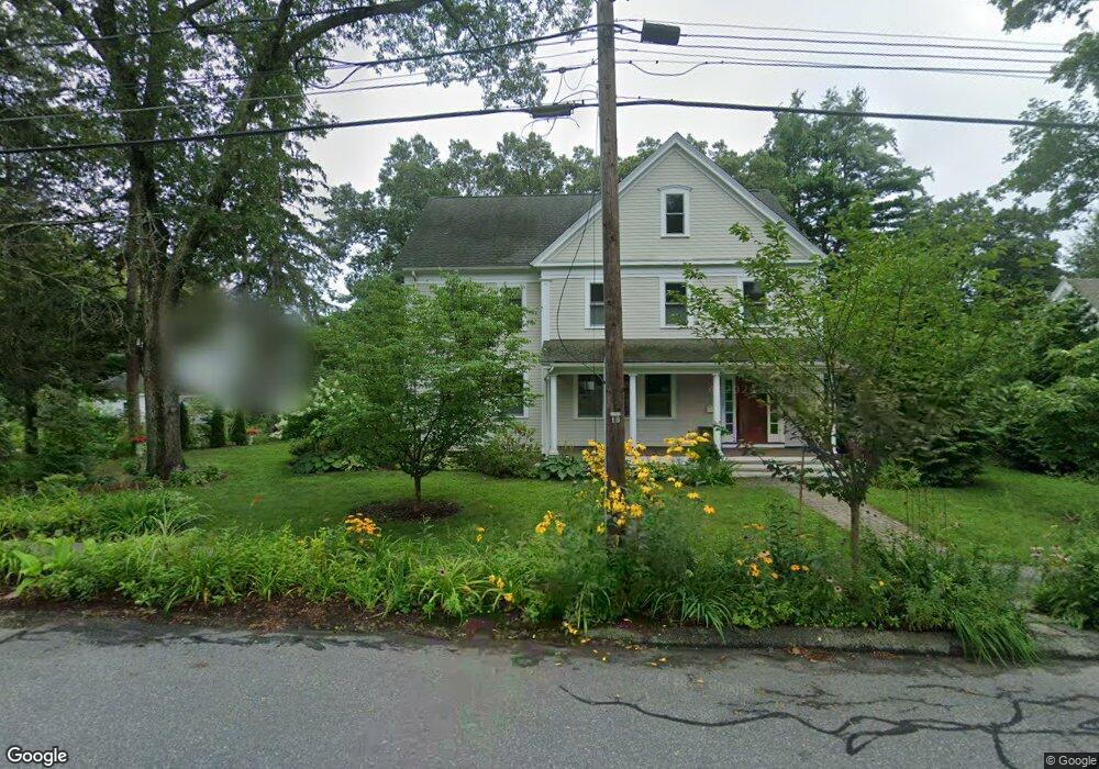
217 Central St Concord, MA 01742
Estimated Value: $1,129,000 - $2,053,283
3
Beds
2
Baths
1,550
Sq Ft
$1,157/Sq Ft
Est. Value
About This Home
This home is located at 217 Central St, Concord, MA 01742 and is currently estimated at $1,793,321, approximately $1,156 per square foot. 217 Central St is a home located in Middlesex County with nearby schools including Thoreau Elementary School, Concord Middle School, and Concord Carlisle High School.
Ownership History
Date
Name
Owned For
Owner Type
Purchase Details
Closed on
Jun 28, 2006
Sold by
Anderson Ft and Anderson Peter M
Bought by
Hoey Amy A and Hoey Thomas J
Current Estimated Value
Home Financials for this Owner
Home Financials are based on the most recent Mortgage that was taken out on this home.
Original Mortgage
$412,000
Outstanding Balance
$243,648
Interest Rate
6.58%
Mortgage Type
Purchase Money Mortgage
Estimated Equity
$1,549,673
Purchase Details
Closed on
Feb 25, 2004
Sold by
Anderson Constance M and Anderson Herman M
Bought by
Anderson Ft and Anderson Peter M
Create a Home Valuation Report for This Property
The Home Valuation Report is an in-depth analysis detailing your home's value as well as a comparison with similar homes in the area
Home Values in the Area
Average Home Value in this Area
Purchase History
| Date | Buyer | Sale Price | Title Company |
|---|---|---|---|
| Hoey Amy A | $515,000 | -- | |
| Anderson Ft | -- | -- |
Source: Public Records
Mortgage History
| Date | Status | Borrower | Loan Amount |
|---|---|---|---|
| Open | Hoey Amy A | $412,000 |
Source: Public Records
Tax History
| Year | Tax Paid | Tax Assessment Tax Assessment Total Assessment is a certain percentage of the fair market value that is determined by local assessors to be the total taxable value of land and additions on the property. | Land | Improvement |
|---|---|---|---|---|
| 2025 | $239 | $1,801,100 | $613,700 | $1,187,400 |
| 2024 | $23,580 | $1,795,900 | $613,700 | $1,182,200 |
| 2023 | $19,334 | $1,491,800 | $557,900 | $933,900 |
| 2022 | $19,150 | $1,297,400 | $446,300 | $851,100 |
| 2021 | $18,581 | $1,262,300 | $446,300 | $816,000 |
| 2020 | $18,196 | $1,278,700 | $446,300 | $832,400 |
| 2019 | $16,306 | $1,149,100 | $433,300 | $715,800 |
| 2018 | $16,102 | $1,126,800 | $412,600 | $714,200 |
| 2017 | $15,415 | $1,095,600 | $393,000 | $702,600 |
| 2016 | $15,529 | $1,115,600 | $393,000 | $722,600 |
| 2015 | $14,689 | $1,027,900 | $363,900 | $664,000 |
Source: Public Records
Map
Nearby Homes
- 70 McCallar Ln
- 53 Prairie St
- 102 Highland St
- 22 Center Village Dr
- 111 Central St
- 32 Highland St
- 95 Conant St Unit 320
- 116 Conant St
- 54 Maple St
- 67 Conant St
- 20 Westvale Meadows Unit C
- 66 Old Stow Rd
- 42 Sunnyside Ln
- 1732 Main St Unit 205
- 27 Water St
- 37 Water St
- 21 Concord Greene Unit 8
- 16 Concord Greene Unit 5
- 1844 Main St Unit 1844
- 55 Staffordshire Ln Unit B
- 227 Central St
- 205 Central St
- A12 + A13 Lowell Rd
- 64 Prairie St
- 233 Central St
- 15 Chase Rd
- 218 Central St
- 76 Prairie St
- 224 Central St
- 199 Central St
- 239 Central St
- 208 Central St
- 19 Frances St
- 52 Prairie St
- 195 Central St
- 86 Prairie St
- 234 Central St
- 200 Central St
- 200 Central St Unit 2
- 200 Central St Unit 198
Your Personal Tour Guide
Ask me questions while you tour the home.