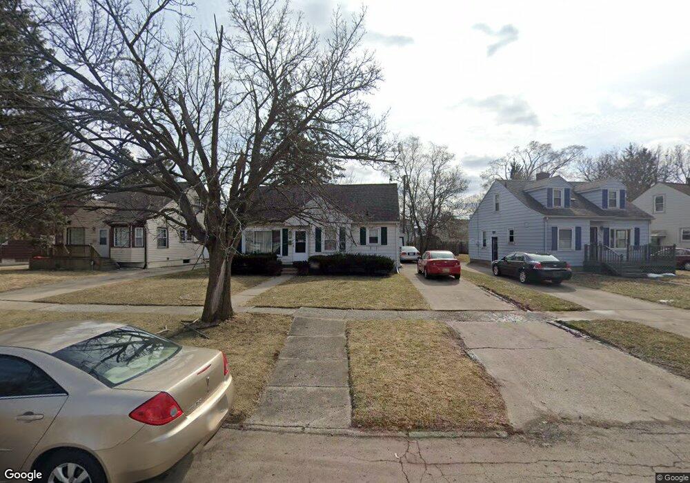
217 Commonwealth Ave Flint, MI 48503
College Cultural NeighborhoodEstimated Value: $103,227 - $123,000
3
Beds
1
Bath
1,241
Sq Ft
$89/Sq Ft
Est. Value
About This Home
This home is located at 217 Commonwealth Ave, Flint, MI 48503 and is currently estimated at $110,057, approximately $88 per square foot. 217 Commonwealth Ave is a home located in Genesee County with nearby schools including Pierce Elementary School, Flint Cultural Center Academy, and WAY Academy of Flint.
Ownership History
Date
Name
Owned For
Owner Type
Purchase Details
Closed on
Jul 25, 2008
Sold by
Gordon Jill Anne
Bought by
The Bank Of New York and Equity One Inc Mortgage Pass Through Cer
Current Estimated Value
Purchase Details
Closed on
Dec 24, 2003
Sold by
Hosier Starr M
Bought by
Gordon Jill Anne
Home Financials for this Owner
Home Financials are based on the most recent Mortgage that was taken out on this home.
Original Mortgage
$102,000
Interest Rate
6.99%
Mortgage Type
Purchase Money Mortgage
Purchase Details
Closed on
May 18, 1999
Sold by
Stephens Kurtis A and Stephens Dana A
Bought by
Hosier Starr M
Create a Home Valuation Report for This Property
The Home Valuation Report is an in-depth analysis detailing your home's value as well as a comparison with similar homes in the area
Home Values in the Area
Average Home Value in this Area
Purchase History
We collect this data history from publicly available records. To have your information removed, we recommend requesting removal directly through your county’s website.
| Date | Buyer | Sale Price | Title Company |
|---|---|---|---|
| The Bank Of New York | $73,800 | None Available | |
| Gordon Jill Anne | $102,000 | Lawyers Title | |
| Hosier Starr M | $83,800 | Lawyers Title |
Source: Public Records
Mortgage History
We collect this data history from publicly available records. To have your information removed, we recommend requesting removal directly through your county’s website.
| Date | Status | Borrower | Loan Amount |
|---|---|---|---|
| Previous Owner | Gordon Jill Anne | $102,000 |
Source: Public Records
Tax History
| Year | Tax Paid | Tax Assessment Tax Assessment Total Assessment is a certain percentage of the fair market value that is determined by local assessors to be the total taxable value of land and additions on the property. | Land | Improvement |
|---|---|---|---|---|
| 2025 | $1,368 | $41,400 | $0 | $0 |
| 2024 | $1,262 | $42,100 | $0 | $0 |
| 2023 | $1,229 | $34,000 | $0 | $0 |
| 2022 | $0 | $28,900 | $0 | $0 |
| 2021 | $1,248 | $28,600 | $0 | $0 |
| 2020 | $1,143 | $24,900 | $0 | $0 |
| 2019 | $1,114 | $17,100 | $0 | $0 |
| 2018 | $1,115 | $16,100 | $0 | $0 |
| 2017 | $1,085 | $0 | $0 | $0 |
| 2016 | $1,077 | $0 | $0 | $0 |
| 2015 | -- | $0 | $0 | $0 |
| 2014 | -- | $0 | $0 | $0 |
| 2012 | -- | $16,800 | $0 | $0 |
Source: Public Records
Map
Nearby Homes
- 434 Chalmers St
- 301 Chandler St
- 430 S Dort Hwy
- 605 S Lynch St
- 910 N Vernon Ave
- 2218 Kentucky Ave
- 2426 Missouri Ave
- 2013 E Court St
- 803 Commonwealth Ave
- 2610 Pennsylvania Ave
- 2301 Missouri Ave
- 1817 Montclair Ave
- 2433 Pennsylvania Ave
- 2429 Pennsylvania Ave
- 2408 Calumet St
- 1501 Arlington Ave
- 2428 Illinois Ave
- 1318 Cronk Ave
- 1216 Minnesota Ave
- 2601 Illinois Ave
- 213 Commonwealth Ave
- 401 Greenfield Ave
- 405 Greenfield Ave
- 409 Greenfield Ave
- 209 Commonwealth Ave
- 422 Chalmers St
- 205 Commonwealth Ave
- 426 Chalmers St
- 413 Greenfield Ave
- 414 Chalmers St
- 417 Greenfield Ave
- 2602 Macomber St
- 210 Commonwealth Ave
- 231 Commonwealth Ave
- 222 Commonwealth Ave
- 214 Commonwealth Ave
- 410 Chalmers St
- 421 Greenfield Ave
- 206 Commonwealth Ave
- 2612 Macomber St
Your Personal Tour Guide
Ask me questions while you tour the home.