217 County Road 912a Brazoria, TX 77422
Estimated Value: $290,598 - $312,000
--
Bed
2
Baths
1,960
Sq Ft
$156/Sq Ft
Est. Value
About This Home
This home is located at 217 County Road 912a, Brazoria, TX 77422 and is currently estimated at $305,400, approximately $155 per square foot. 217 County Road 912a is a home located in Brazoria County.
Ownership History
Date
Name
Owned For
Owner Type
Purchase Details
Closed on
Aug 28, 2019
Sold by
Wilkes Singleton Eugene and Wilkes Gloria Jean
Bought by
Haviland George R and Haviland Kaci
Current Estimated Value
Home Financials for this Owner
Home Financials are based on the most recent Mortgage that was taken out on this home.
Original Mortgage
$200,447
Outstanding Balance
$173,805
Interest Rate
3.12%
Mortgage Type
FHA
Estimated Equity
$131,595
Purchase Details
Closed on
Sep 27, 2013
Sold by
Nesbitt James O
Bought by
Wilkes Singleton Eugene
Home Financials for this Owner
Home Financials are based on the most recent Mortgage that was taken out on this home.
Original Mortgage
$40,000
Interest Rate
4.46%
Mortgage Type
Purchase Money Mortgage
Create a Home Valuation Report for This Property
The Home Valuation Report is an in-depth analysis detailing your home's value as well as a comparison with similar homes in the area
Home Values in the Area
Average Home Value in this Area
Purchase History
| Date | Buyer | Sale Price | Title Company |
|---|---|---|---|
| Haviland George R | -- | Stewart Title | |
| Wilkes Singleton Eugene | -- | None Available |
Source: Public Records
Mortgage History
| Date | Status | Borrower | Loan Amount |
|---|---|---|---|
| Open | Haviland George R | $200,447 | |
| Previous Owner | Wilkes Singleton Eugene | $40,000 |
Source: Public Records
Tax History Compared to Growth
Tax History
| Year | Tax Paid | Tax Assessment Tax Assessment Total Assessment is a certain percentage of the fair market value that is determined by local assessors to be the total taxable value of land and additions on the property. | Land | Improvement |
|---|---|---|---|---|
| 2025 | $1,724 | $237,434 | $108,620 | $249,330 |
| 2023 | $1,724 | $196,226 | $83,430 | $252,930 |
| 2022 | $2,816 | $178,387 | $48,170 | $214,190 |
| 2021 | $2,719 | $162,170 | $28,670 | $133,500 |
| 2020 | $3,047 | $169,920 | $48,740 | $121,180 |
| 2019 | $2,623 | $161,730 | $47,460 | $114,270 |
| 2018 | $2,403 | $130,260 | $23,610 | $106,650 |
| 2017 | $2,428 | $130,260 | $23,610 | $106,650 |
| 2016 | $2,219 | $130,260 | $23,610 | $106,650 |
| 2014 | $474 | $106,510 | $9,980 | $96,530 |
Source: Public Records
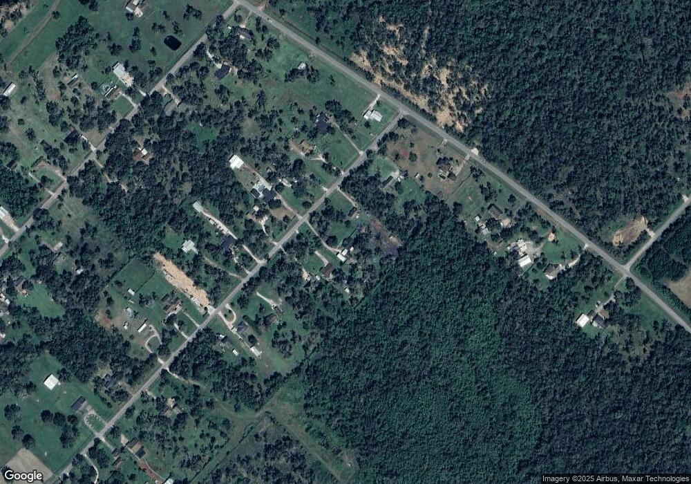
Map
Nearby Homes
- 10186 County Road 400
- 338 County Road 912a
- 441 County Road 849
- 519 County Road 849
- 145
- 307 Avenue G
- 549 E New York St
- 706 E New York St
- 523 Lazy Ln
- 409 Carlton St
- 4773 County Road 652
- 232 Magnolia St
- 401 E Texas St
- 0 Pecan Dr
- 310 E Texas St
- 229 Yaupon Dr
- 230 E New York St
- 0 Travis St
- 411 Travis St
- 0 Pearl St
- 221 County Road 912a
- 221 County Road 912a
- 203 County Road 912a
- 203 Cr 912a
- 227 County Road 912a
- 123 County Road 912a
- 307 Cr 912a
- 307 County Road 912a
- 226 County Road 912a
- 204 County Road 912a
- 338 C R 912a
- 134 County Road 912a
- 122 County Road 912a
- 122 Cr 912a
- 319 County Road 912a
- 319 Cr 912a
- 10173 County Road 400
- 10307 County Road 400
- 216 County Road 912a
- 232 County Road 912a