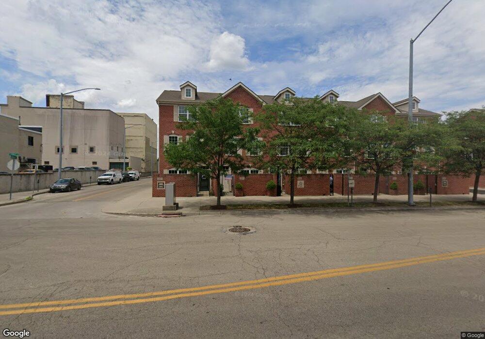
217 E 1st St Dayton, OH 45402
Downtown Dayton NeighborhoodEstimated Value: $256,000 - $296,602
2
Beds
2
Baths
1,140
Sq Ft
$244/Sq Ft
Est. Value
About This Home
This home is located at 217 E 1st St, Dayton, OH 45402 and is currently estimated at $278,151, approximately $243 per square foot. 217 E 1st St is a home located in Montgomery County with nearby schools including Ruskin Elementary School, Kiser Elementary, and Richard Allen Academy.
Ownership History
Date
Name
Owned For
Owner Type
Purchase Details
Closed on
Feb 27, 2018
Sold by
Foor Joshua L and Foor Erin M
Bought by
Kingsolver William J
Current Estimated Value
Home Financials for this Owner
Home Financials are based on the most recent Mortgage that was taken out on this home.
Original Mortgage
$50,000
Outstanding Balance
$14,588
Interest Rate
4.32%
Mortgage Type
New Conventional
Estimated Equity
$263,563
Purchase Details
Closed on
May 9, 2012
Sold by
Patterson Square Ltd
Bought by
Foor Joshua L and Farrelly Erin M
Home Financials for this Owner
Home Financials are based on the most recent Mortgage that was taken out on this home.
Original Mortgage
$135,000
Interest Rate
3.99%
Mortgage Type
Future Advance Clause Open End Mortgage
Create a Home Valuation Report for This Property
The Home Valuation Report is an in-depth analysis detailing your home's value as well as a comparison with similar homes in the area
Home Values in the Area
Average Home Value in this Area
Purchase History
| Date | Buyer | Sale Price | Title Company |
|---|---|---|---|
| Kingsolver William J | $185,000 | Sojourners Title Agency | |
| Foor Joshua L | $150,100 | None Available |
Source: Public Records
Mortgage History
| Date | Status | Borrower | Loan Amount |
|---|---|---|---|
| Open | Kingsolver William J | $50,000 | |
| Previous Owner | Foor Joshua L | $135,000 |
Source: Public Records
Tax History Compared to Growth
Tax History
| Year | Tax Paid | Tax Assessment Tax Assessment Total Assessment is a certain percentage of the fair market value that is determined by local assessors to be the total taxable value of land and additions on the property. | Land | Improvement |
|---|---|---|---|---|
| 2024 | $1,491 | $92,710 | $16,950 | $75,760 |
| 2023 | $1,491 | $16,950 | $16,950 | $0 |
| 2022 | $1,511 | $59,192 | $0 | $59,192 |
| 2021 | $1,493 | $59,192 | $0 | $59,192 |
| 2020 | $1,482 | $59,192 | $0 | $59,192 |
| 2019 | $1,126 | $39,323 | $0 | $39,323 |
| 2018 | $1,121 | $39,323 | $0 | $39,323 |
| 2017 | $1,108 | $39,323 | $0 | $39,323 |
| 2016 | $1,146 | $38,178 | $0 | $38,178 |
| 2015 | $1,119 | $38,178 | $0 | $38,178 |
| 2014 | $1,012 | $11,030 | $11,030 | $0 |
| 2012 | -- | $11,420 | $11,420 | $0 |
Source: Public Records
Map
Nearby Homes
- 231 Ice Ave
- 237 E 1st St
- 215 Ice Ave Unit 201
- 208 Harries St
- 138 E 3rd St
- 18 S Saint Clair St Unit 201
- 18 S Saint Clair St Unit 203
- 30 S Patterson Blvd
- 109 N Main St
- 109 N Main St Unit 1400
- 109 N Main St Unit 1401
- 109 N Main St Unit 902 & 904
- 20 W Monument Ave
- TBD Private Road 6444
- 121 Lowe Ln
- 127 Lowe Ln
- 128 W Monument Ave
- 207 E 6th St Unit 302
- 301 E 6th St
- 16 Mcdaniel St