217 E Misty Ln Blairsville, GA 30512
Estimated Value: $588,000 - $702,000
4
Beds
3
Baths
2,130
Sq Ft
$300/Sq Ft
Est. Value
About This Home
This home is located at 217 E Misty Ln, Blairsville, GA 30512 and is currently estimated at $639,892, approximately $300 per square foot. 217 E Misty Ln is a home located in Union County with nearby schools including Union County Primary School, Union County Elementary School, and Union County Middle School.
Ownership History
Date
Name
Owned For
Owner Type
Purchase Details
Closed on
Jan 23, 2025
Sold by
Curlee Kathryn
Bought by
Curlee Kathryn Trust and Curlee Steven Trust
Current Estimated Value
Purchase Details
Closed on
Apr 22, 2003
Sold by
Curlee Steven C and Curlee Kathryn R
Bought by
Curlee Steven A and Curlee Kathryn R
Purchase Details
Closed on
Mar 28, 2003
Sold by
Curlee Billy A and Curlee Rebecca L
Bought by
Curlee Steven C and Curlee Kathryn R
Create a Home Valuation Report for This Property
The Home Valuation Report is an in-depth analysis detailing your home's value as well as a comparison with similar homes in the area
Home Values in the Area
Average Home Value in this Area
Purchase History
| Date | Buyer | Sale Price | Title Company |
|---|---|---|---|
| Curlee Kathryn Trust | -- | -- | |
| Curlee Steven A | -- | -- | |
| Curlee Steven C | -- | -- |
Source: Public Records
Tax History Compared to Growth
Tax History
| Year | Tax Paid | Tax Assessment Tax Assessment Total Assessment is a certain percentage of the fair market value that is determined by local assessors to be the total taxable value of land and additions on the property. | Land | Improvement |
|---|---|---|---|---|
| 2024 | $2,773 | $236,780 | $22,360 | $214,420 |
| 2023 | $3,046 | $230,832 | $22,360 | $208,472 |
| 2022 | $2,426 | $184,236 | $20,680 | $163,556 |
| 2021 | $2,356 | $151,520 | $20,680 | $130,840 |
| 2020 | $1,889 | $101,858 | $16,977 | $84,881 |
| 2019 | $1,786 | $101,858 | $16,977 | $84,881 |
| 2018 | $1,789 | $101,858 | $16,977 | $84,881 |
| 2017 | $1,754 | $101,858 | $16,977 | $84,881 |
| 2016 | $1,755 | $101,858 | $16,977 | $84,881 |
| 2015 | $1,770 | $101,858 | $16,977 | $84,881 |
| 2013 | -- | $101,858 | $16,977 | $84,880 |
Source: Public Records
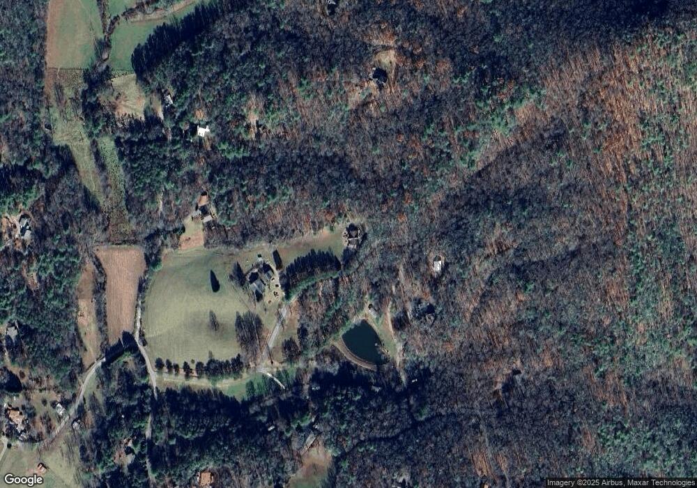
Map
Nearby Homes
- Tract 1 Fain Branch Rd
- Tract 3 Fain Branch Rd
- Tract 2 Fain Branch Rd
- Tract 4 Fain Branch Rd
- 55 Misty Mountain Ln
- 16 Misty Mountain Ln
- 77 Alpine Way
- 397 Everetts View
- 275 Everetts View
- 11 Gladson Ln
- 206 Gladson Ln
- 36 Benson Dr
- Lot 13 Wilderness Ridge Sub
- 218 Burt Nix Rd
- 33 Frontier Way Unit 13
- 33 Frontier Way
- L2&3 Crab Apple Rd
- 74 Timber Ln
- 105 Hidden Valley Acres
- 566 Walnut Springs Rd
- 161 Misty Ln
- 161 E Misty Ln
- 315 E Misty Ln
- 104 Duck Gap Rd
- E E Misty Ln
- 46 Hunt Hollow Ln
- 94 E Misty Ln
- 149 Hunt Hollow Ln
- 5605 Hunt Hollow Ln
- 174 Duck Gap Rd
- 92 E Misty Ln
- 191 Duck Gap Rd
- 6.4 A Duck Gap Rd
- 377 Back Log Rd
- 308 Duck Gap Rd
- 184 Back Log Rd
- 139 Back Log Rd
- 352 Back Log Rd
- 352 Backlog Rd
- 149 Author Rd