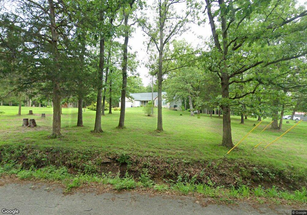
217 East West Rd Sullivan, MO 63080
Estimated Value: $270,000 - $439,893
3
Beds
3
Baths
1,995
Sq Ft
$181/Sq Ft
Est. Value
About This Home
This home is located at 217 East West Rd, Sullivan, MO 63080 and is currently estimated at $360,473, approximately $180 per square foot. 217 East West Rd is a home located in Franklin County with nearby schools including Sullivan Primary School, Sullivan Elementary School, and Sullivan Middle School.
Ownership History
Date
Name
Owned For
Owner Type
Purchase Details
Closed on
Jul 11, 2022
Sold by
Deveydt Tod C and Deveydt Shelia D
Bought by
Deveydt Tod C and Deveydt Shelia D
Current Estimated Value
Purchase Details
Closed on
Aug 23, 2013
Sold by
Gough John B and Gough Maxine H
Bought by
Deveydt Tod C and Deveydt Sheila D
Home Financials for this Owner
Home Financials are based on the most recent Mortgage that was taken out on this home.
Original Mortgage
$116,000
Interest Rate
4.53%
Mortgage Type
New Conventional
Create a Home Valuation Report for This Property
The Home Valuation Report is an in-depth analysis detailing your home's value as well as a comparison with similar homes in the area
Home Values in the Area
Average Home Value in this Area
Purchase History
| Date | Buyer | Sale Price | Title Company |
|---|---|---|---|
| Deveydt Tod C | -- | None Listed On Document | |
| Deveydt Tod C | -- | None Listed On Document | |
| Deveydt Tod C | $149,000 | -- |
Source: Public Records
Mortgage History
| Date | Status | Borrower | Loan Amount |
|---|---|---|---|
| Previous Owner | Deveydt Tod C | $116,000 |
Source: Public Records
Tax History Compared to Growth
Tax History
| Year | Tax Paid | Tax Assessment Tax Assessment Total Assessment is a certain percentage of the fair market value that is determined by local assessors to be the total taxable value of land and additions on the property. | Land | Improvement |
|---|---|---|---|---|
| 2024 | $2,432 | $44,945 | $0 | $0 |
| 2023 | $2,432 | $44,945 | $0 | $0 |
| 2022 | $2,515 | $46,590 | $0 | $0 |
| 2021 | $2,530 | $46,590 | $0 | $0 |
| 2020 | $2,308 | $41,783 | $0 | $0 |
| 2019 | $2,311 | $41,783 | $0 | $0 |
| 2018 | $2,267 | $40,535 | $0 | $0 |
| 2017 | $2,289 | $40,535 | $0 | $0 |
| 2016 | $2,075 | $37,213 | $0 | $0 |
| 2015 | $2,082 | $37,213 | $0 | $0 |
| 2014 | $2,035 | $37,574 | $0 | $0 |
Source: Public Records
Map
Nearby Homes
- 982 Huntington Meadows Ln
- 1116 E Springfield Rd
- 1019 E Springfield Rd
- 9 Karen Ann Cir
- 1243 N and South Rd S
- 311 S Highway 185
- 0 Mesa Dr
- 430 Scottsdale Dr
- 6 Fig St Unit 16
- 6 Fig St Unit 8
- 132 Virginia St
- 306 E Euclid Ave
- 215 Meramec Dr
- 107 Glaser Rd
- 621 Tipton St
- 56 E Euclid Ave
- 2683 Ridge Rd
- 237 Pine St
- 3 Modern St
- 2 Modern St
- 255 East West Rd
- 05 Acres E West Rd
- 275 E West Rd
- 180 East West Rd
- 275 East West Rd
- 180 East-West Rd
- 260 East West Rd
- 151 East West Rd
- 550 Bell Rd
- 315 East West Rd
- 306 East West Rd
- 306 E West Rd
- 135 East West Rd
- 135 East West Rd
- 335 East-West Rd
- 336 East West Rd
- 102 East West Rd
- 350 East West Rd
- 350 East West Rd
- 95 East-West Rd