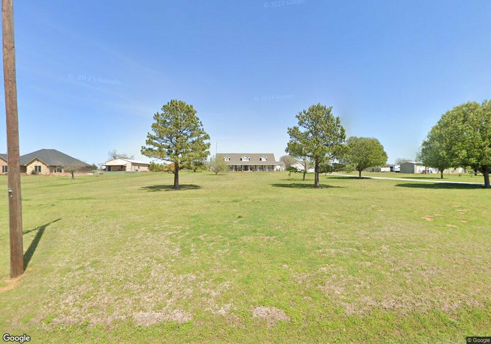
217 Ferguson Rd Whitesboro, TX 76273
Estimated Value: $729,347 - $791,000
3
Beds
2
Baths
3,066
Sq Ft
$248/Sq Ft
Est. Value
About This Home
This home is located at 217 Ferguson Rd, Whitesboro, TX 76273 and is currently estimated at $760,174, approximately $247 per square foot. 217 Ferguson Rd is a home located in Grayson County with nearby schools including J.W. Hayes Primary School, Whitesboro Intermediate School, and Whitesboro Middle School.
Ownership History
Date
Name
Owned For
Owner Type
Purchase Details
Closed on
Jun 30, 2005
Sold by
Lawhorn Gary and Lawhorn Nola
Bought by
Delarios Jeannie L
Current Estimated Value
Home Financials for this Owner
Home Financials are based on the most recent Mortgage that was taken out on this home.
Original Mortgage
$213,750
Outstanding Balance
$111,364
Interest Rate
5.63%
Mortgage Type
Fannie Mae Freddie Mac
Estimated Equity
$648,810
Create a Home Valuation Report for This Property
The Home Valuation Report is an in-depth analysis detailing your home's value as well as a comparison with similar homes in the area
Home Values in the Area
Average Home Value in this Area
Purchase History
| Date | Buyer | Sale Price | Title Company |
|---|---|---|---|
| Delarios Jeannie L | -- | -- |
Source: Public Records
Mortgage History
| Date | Status | Borrower | Loan Amount |
|---|---|---|---|
| Open | Delarios Jeannie L | $213,750 |
Source: Public Records
Tax History Compared to Growth
Tax History
| Year | Tax Paid | Tax Assessment Tax Assessment Total Assessment is a certain percentage of the fair market value that is determined by local assessors to be the total taxable value of land and additions on the property. | Land | Improvement |
|---|---|---|---|---|
| 2025 | $6,012 | $525,384 | -- | -- |
| 2024 | $6,012 | $477,622 | $0 | $0 |
| 2023 | $4,803 | $434,202 | $0 | $0 |
| 2022 | $6,275 | $394,729 | $0 | $0 |
| 2021 | $6,405 | $372,596 | $61,768 | $310,828 |
| 2020 | $5,998 | $366,623 | $46,302 | $320,321 |
| 2019 | $5,843 | $351,522 | $45,880 | $305,642 |
| 2018 | $5,425 | $339,223 | $45,880 | $293,343 |
| 2017 | $5,001 | $322,355 | $45,880 | $276,475 |
| 2016 | $4,547 | $302,396 | $45,570 | $256,826 |
| 2015 | $3,621 | $201,136 | $45,570 | $155,566 |
| 2014 | $3,761 | $201,136 | $45,570 | $155,566 |
Source: Public Records
Map
Nearby Homes
- 20ac Us Hwy 377
- 790 Ferguson Rd
- 347 Copper Branch Rd
- 262 Briar Creek Rd
- 436 Dixie Rd
- 1230 Dixie Estates Way
- 1172 Dixie Estates Way
- 2208 Sundance Rd
- 2026 Sundance Rd
- 2151 Sundance Rd
- 2256 Sundance Rd
- 2160 Sundance Rd
- 2244 Sundance Rd
- 2148 Sundance Rd
- LOT 14 Dixie Estates Way
- LOT 20 Dixie Estates Way
- LOT 15 Dixie Estates Way
- LOT 17 Dixie Estates Way
- LOT 18 Dixie Estates Way
- LOT 19 Dixie Estates Way
- 171 Ferguson Rd
- 251 Ferguson Rd
- 151 Ferguson Rd
- 269 Ferguson Rd
- 131 Ferguson Rd
- 188 Ferguson Rd
- 272 Ferguson Rd
- 311 Ferguson Rd
- 94 Ferguson Rd
- 346 Ferguson Rd
- 341 Ferguson Rd
- 304 Ferguson Rd
- 296 Ferguson Rd
- 30 Ferguson Rd
- 350 Ferguson Rd
- 20912 Us Hwy 377 Unit TRAC 2
- 20910 Us Highway 377
- 20910 Us Hwy 377 Unit TRAC 2
- 20910 Us Highway 377
- 20910 Us Highway 377