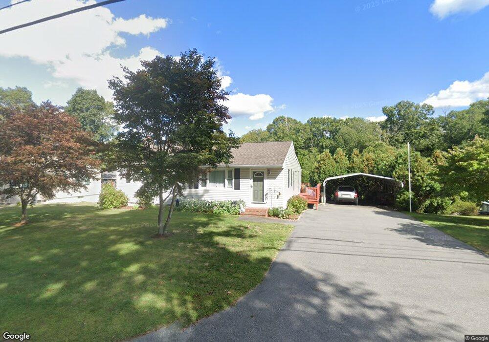
217 Forest St North Dighton, MA 02764
Estimated Value: $411,000 - $491,000
3
Beds
1
Bath
960
Sq Ft
$471/Sq Ft
Est. Value
About This Home
This home is located at 217 Forest St, North Dighton, MA 02764 and is currently estimated at $452,375, approximately $471 per square foot. 217 Forest St is a home located in Bristol County with nearby schools including Dighton-Rehoboth Regional High School and Our Lady of Lourdes School.
Ownership History
Date
Name
Owned For
Owner Type
Purchase Details
Closed on
May 13, 2014
Sold by
Sousa Jose A and Sousa Luica M
Bought by
Sousa Ft
Current Estimated Value
Purchase Details
Closed on
Dec 30, 2003
Sold by
Hebert Thomas G and Hebert Tracey A
Bought by
Sousa Jose A and Sousa Lucia M
Purchase Details
Closed on
Apr 3, 1991
Sold by
Est Pivirotto Leo T
Bought by
Hebert Thomas G and Hebert Tracey A
Home Financials for this Owner
Home Financials are based on the most recent Mortgage that was taken out on this home.
Original Mortgage
$72,250
Interest Rate
9.2%
Mortgage Type
Purchase Money Mortgage
Create a Home Valuation Report for This Property
The Home Valuation Report is an in-depth analysis detailing your home's value as well as a comparison with similar homes in the area
Home Values in the Area
Average Home Value in this Area
Purchase History
| Date | Buyer | Sale Price | Title Company |
|---|---|---|---|
| Sousa Ft | -- | -- | |
| Sousa Jose A | $252,000 | -- | |
| Hebert Thomas G | $85,000 | -- |
Source: Public Records
Mortgage History
| Date | Status | Borrower | Loan Amount |
|---|---|---|---|
| Previous Owner | Hebert Thomas G | $15,000 | |
| Previous Owner | Hebert Thomas G | $72,250 |
Source: Public Records
Tax History Compared to Growth
Tax History
| Year | Tax Paid | Tax Assessment Tax Assessment Total Assessment is a certain percentage of the fair market value that is determined by local assessors to be the total taxable value of land and additions on the property. | Land | Improvement |
|---|---|---|---|---|
| 2025 | $3,904 | $310,800 | $127,000 | $183,800 |
| 2024 | $3,936 | $287,700 | $127,000 | $160,700 |
| 2023 | $3,783 | $271,400 | $127,000 | $144,400 |
| 2022 | $3,664 | $256,400 | $123,700 | $132,700 |
| 2021 | $3,463 | $233,500 | $111,700 | $121,800 |
| 2020 | $3,550 | $237,000 | $125,000 | $112,000 |
| 2019 | $3,463 | $231,000 | $125,000 | $106,000 |
| 2018 | $3,139 | $211,100 | $105,900 | $105,200 |
| 2017 | $3,137 | $210,000 | $123,300 | $86,700 |
| 2016 | $3,172 | $208,300 | $127,000 | $81,300 |
| 2015 | $3,135 | $211,800 | $130,800 | $81,000 |
| 2014 | $3,153 | $207,000 | $130,800 | $76,200 |
Source: Public Records
Map
Nearby Homes
- 343 Forest St
- 876 Autumn St
- 0 Summer St
- 233-R Summer St
- 698 School St Unit 698
- 221 Summer St
- 441 Forest St
- 238 Andrews St
- 810 Tremont St
- 0 Andrews St
- 1026 Tremont St
- 1401 Tremont St
- 1421 Tremont St
- 593 Williams St
- 1472 Somerset Ave
- 424 Winthrop St
- 15 Shetland Rd
- 1565 Maple St
- 0 Range Ave Unit 72771508
- 0 Range Ave Unit 72771509