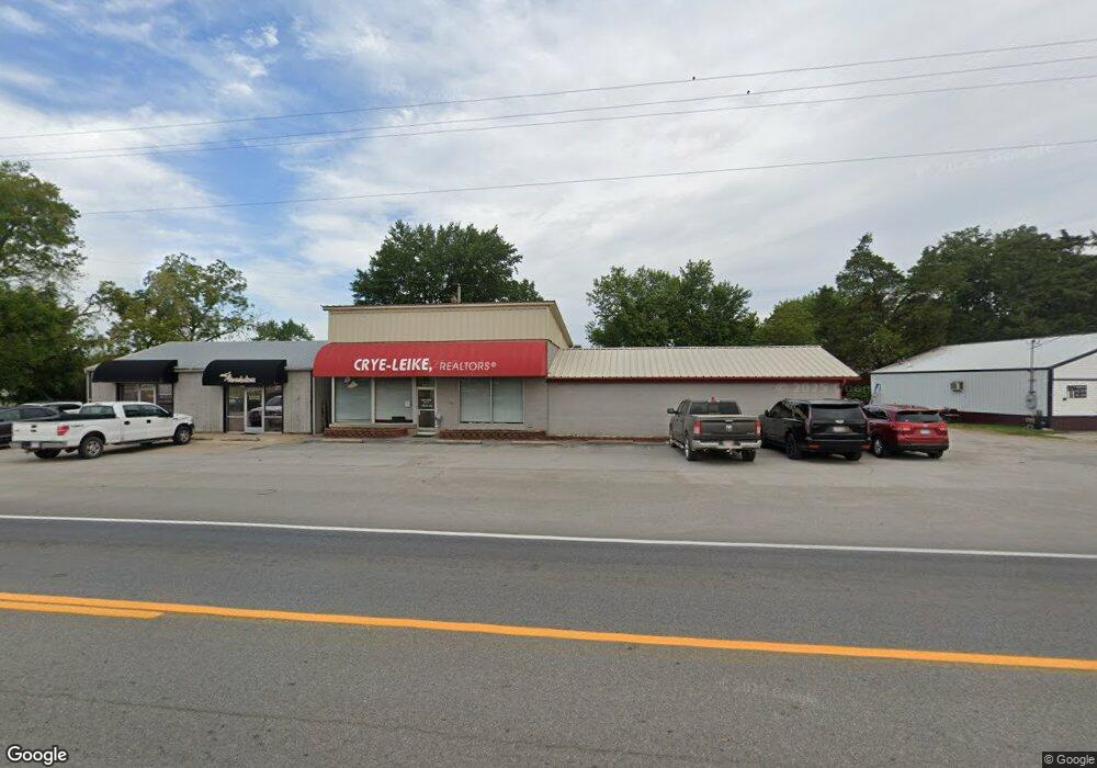
217 Gentry Blvd Unit Suite B Gentry, AR 72734
Estimated Value: $404,828
--
Bed
--
Bath
3,352
Sq Ft
$121/Sq Ft
Est. Value
About This Home
This home is located at 217 Gentry Blvd Unit Suite B, Gentry, AR 72734 and is currently estimated at $404,828, approximately $120 per square foot. 217 Gentry Blvd Unit Suite B is a home located in Benton County with nearby schools including Gentry Intermediate School, Gentry Primary School, and Gentry Middle School.
Ownership History
Date
Name
Owned For
Owner Type
Purchase Details
Closed on
Dec 28, 2007
Sold by
Coyote Land Development Llc
Bought by
Long Sam and Rajsombath Aet
Current Estimated Value
Purchase Details
Closed on
Mar 11, 2004
Bought by
Williams
Purchase Details
Closed on
Sep 15, 2001
Bought by
Dod 09-15-2001
Purchase Details
Closed on
Jan 23, 1998
Bought by
Dawson
Purchase Details
Closed on
Sep 15, 1993
Bought by
Weir
Purchase Details
Closed on
Jun 3, 1988
Bought by
Sitton
Create a Home Valuation Report for This Property
The Home Valuation Report is an in-depth analysis detailing your home's value as well as a comparison with similar homes in the area
Home Values in the Area
Average Home Value in this Area
Purchase History
| Date | Buyer | Sale Price | Title Company |
|---|---|---|---|
| Long Sam | $211,000 | Elite Title Company Inc | |
| Williams | $100,000 | -- | |
| Williams | $100,000 | -- | |
| Dod 09-15-2001 | -- | -- | |
| Dawson | $125,000 | -- | |
| Weir | $155,000 | -- | |
| Sitton | $56,000 | -- |
Source: Public Records
Tax History Compared to Growth
Tax History
| Year | Tax Paid | Tax Assessment Tax Assessment Total Assessment is a certain percentage of the fair market value that is determined by local assessors to be the total taxable value of land and additions on the property. | Land | Improvement |
|---|---|---|---|---|
| 2025 | $2,926 | $57,095 | $14,462 | $42,633 |
| 2024 | $2,654 | $57,095 | $14,462 | $42,633 |
| 2023 | $2,413 | $43,630 | $10,460 | $33,170 |
| 2022 | $2,544 | $43,630 | $10,460 | $33,170 |
| 2021 | $2,538 | $43,630 | $9,150 | $34,480 |
| 2020 | $2,290 | $39,220 | $9,150 | $30,070 |
| 2019 | $2,290 | $39,220 | $9,150 | $30,070 |
| 2018 | $2,290 | $39,220 | $9,150 | $30,070 |
| 2017 | $2,132 | $39,220 | $9,150 | $30,070 |
| 2016 | $2,132 | $39,220 | $9,150 | $30,070 |
| 2015 | $1,835 | $33,180 | $9,150 | $24,030 |
| 2014 | $1,835 | $33,180 | $9,150 | $24,030 |
Source: Public Records
Map
Nearby Homes
- 311 S Rust Ave
- 122 S Collins Ave
- 9.09 Acres E 3rd St Hwy 12
- 317 Whitten Ave
- 229 Whitten Ave
- 221 Whitten Ave
- 213 Whitten Ave
- TBD Lot 3 The Preserve
- 401 S Giles Ave
- 0 Arkansas 12
- TBD Arkansas 59
- 1298 E Main St
- 613 S Smith Ave
- 12041 S Robin Rd
- 12041 N Robin Rd
- 513 N Byers Ave
- 302 W Fulton St
- 904 W Main St
- 1392 E Crawford St
- 604 W Eureka St
- 217 Gentry Blvd Unit Suite a,b,c,
- 217 Gentry Blvd
- 217 S Gentry Blvd
- 216 S Otis Ave
- TBD Y City and Hwy 59
- 224 S Otis Ave
- 225 S Gentry Blvd
- 108 S Otis Ave
- 180 S Mckinnon Ave
- 421 E 1st Ave
- 156 S Gentry Blvd
- 168 S Gentry Blvd
- 459 E 3rd St
- 211 James Ave
- 209 E 1st St
- 120 S Nelson Ave
- 400 Gentry Blvd
- TBD E Hwy 12
- 209 James
- 105 S Gentry Blvd