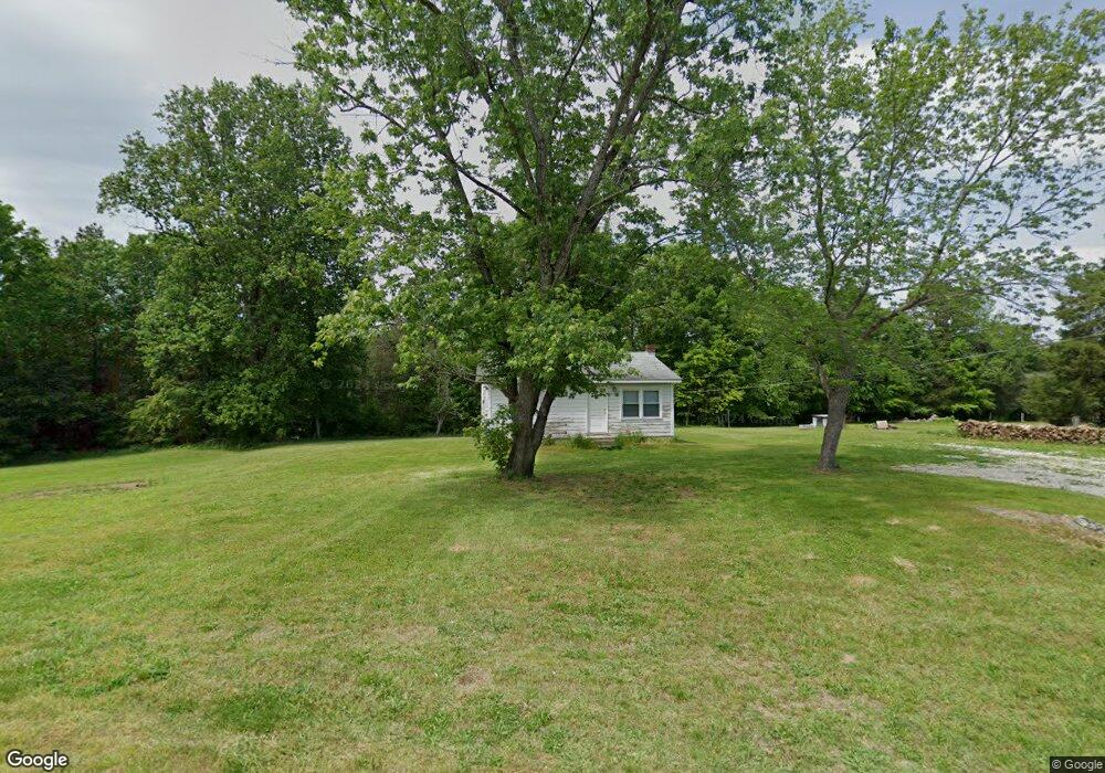
217 Graves Rd Graham, NC 27253
Estimated Value: $124,000 - $227,000
2
Beds
1
Bath
984
Sq Ft
$159/Sq Ft
Est. Value
About This Home
This home is located at 217 Graves Rd, Graham, NC 27253 and is currently estimated at $156,377, approximately $158 per square foot. 217 Graves Rd is a home located in Alamance County with nearby schools including Alexander Wilson Elementary School, Southern Alamance Middle School, and Southern Alamance High School.
Ownership History
Date
Name
Owned For
Owner Type
Purchase Details
Closed on
Jan 28, 2002
Sold by
Phillips Betty G
Bought by
Copeland Brian S
Current Estimated Value
Home Financials for this Owner
Home Financials are based on the most recent Mortgage that was taken out on this home.
Original Mortgage
$27,000
Outstanding Balance
$11,227
Interest Rate
7.14%
Mortgage Type
New Conventional
Estimated Equity
$145,150
Purchase Details
Closed on
Jan 1, 1990
Bought by
Strickland Jerry Lynn
Create a Home Valuation Report for This Property
The Home Valuation Report is an in-depth analysis detailing your home's value as well as a comparison with similar homes in the area
Home Values in the Area
Average Home Value in this Area
Purchase History
| Date | Buyer | Sale Price | Title Company |
|---|---|---|---|
| Copeland Brian S | $27,000 | -- | |
| Strickland Jerry Lynn | -- | -- |
Source: Public Records
Mortgage History
| Date | Status | Borrower | Loan Amount |
|---|---|---|---|
| Open | Copeland Brian S | $27,000 |
Source: Public Records
Tax History Compared to Growth
Tax History
| Year | Tax Paid | Tax Assessment Tax Assessment Total Assessment is a certain percentage of the fair market value that is determined by local assessors to be the total taxable value of land and additions on the property. | Land | Improvement |
|---|---|---|---|---|
| 2025 | $267 | $46,102 | $25,214 | $20,888 |
| 2024 | $544 | $98,021 | $25,214 | $72,807 |
| 2023 | $507 | $98,021 | $25,214 | $72,807 |
| 2022 | $434 | $57,160 | $30,222 | $26,938 |
| 2021 | $438 | $57,160 | $30,222 | $26,938 |
| 2020 | $444 | $57,160 | $30,222 | $26,938 |
| 2019 | $429 | $57,160 | $30,222 | $26,938 |
| 2018 | $0 | $57,160 | $30,222 | $26,938 |
| 2017 | $377 | $57,160 | $30,222 | $26,938 |
| 2016 | $400 | $60,558 | $25,905 | $34,653 |
| 2015 | $401 | $61,071 | $25,905 | $35,166 |
| 2014 | -- | $61,071 | $25,905 | $35,166 |
Source: Public Records
Map
Nearby Homes
- 234 Shadow Ridge Dr
- 206 Ellington Rd Unit LOT 5
- 4706 H S Nc 87 Hwy
- 4706 S Nc Highway 87
- 2114 Crosswind Dr
- 0 Thompson Mill Rd Unit 10117613
- 5055 Preacher Holmes Rd
- 5045 Preacher Holmes Rd
- 2901 Shelly Graham Dr
- 3331 Lazy Ln
- 4941 Rumley Rd
- 4105 Ralph Holt Ct
- 4109 Ralph Holt Ct
- 5507 Eagles Nest Trail
- 5765 Snow Camp Rd
- 5313 Bass Mountain Rd
- 845 Grey Fox Trail
- 2637 S North Carolina 87
- 5464 Bass Mountain Rd
- 174 Graves Rd
- 183 Graves Rd
- 261 Graves Rd
- 180 Clyde Graves Ln
- 133 Graves Rd
- 195 Clyde Graves Ln
- 131 Shadow Ridge Dr
- 146 Clyde Graves Ln
- 4201 Nc Highway 87
- 161 Shadow Ridge Dr
- 4253 N Carolina 87
- 4215 N Carolina 87
- 4215 S Nc Highway 87
- 4253 S Nc Highway 87
- 4253 S North Carolina 87
- 4237 S Nc Highway 87
- 123 Shadow Ridge Dr
- 207 Shadow Ridge Dr
- 0 Shadowridge Dr
- 131 Shadowridge Dr