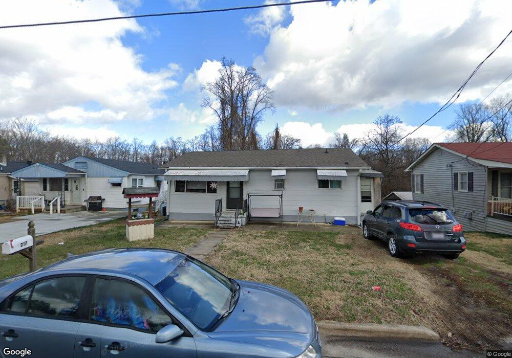
217 Green St Kernersville, NC 27284
Downtown Kernersville NeighborhoodEstimated Value: $125,000 - $185,000
3
Beds
1
Bath
972
Sq Ft
$163/Sq Ft
Est. Value
About This Home
This home is located at 217 Green St, Kernersville, NC 27284 and is currently estimated at $158,019, approximately $162 per square foot. 217 Green St is a home located in Forsyth County with nearby schools including Kernersville Elementary School, Kernersville Middle, and East Forsyth High School.
Ownership History
Date
Name
Owned For
Owner Type
Purchase Details
Closed on
Oct 18, 2013
Sold by
Cole Pamela K
Bought by
Pender Clay H
Current Estimated Value
Purchase Details
Closed on
Jan 15, 2004
Sold by
Hunter Kevin and Hunter Kimberly
Bought by
Cole Michael L and Cole Pamela K
Home Financials for this Owner
Home Financials are based on the most recent Mortgage that was taken out on this home.
Original Mortgage
$50,000
Interest Rate
6.03%
Mortgage Type
Purchase Money Mortgage
Purchase Details
Closed on
Nov 7, 2001
Sold by
Smith Donald R and Estate Of John W Smith
Bought by
Hunter Kevin and Hunter Kimberly
Home Financials for this Owner
Home Financials are based on the most recent Mortgage that was taken out on this home.
Original Mortgage
$45,900
Interest Rate
6.15%
Create a Home Valuation Report for This Property
The Home Valuation Report is an in-depth analysis detailing your home's value as well as a comparison with similar homes in the area
Home Values in the Area
Average Home Value in this Area
Purchase History
| Date | Buyer | Sale Price | Title Company |
|---|---|---|---|
| Pender Clay H | $47,000 | None Available | |
| Cole Michael L | $52,500 | Chicago Title Insurance Co | |
| Hunter Kevin | $51,000 | -- |
Source: Public Records
Mortgage History
| Date | Status | Borrower | Loan Amount |
|---|---|---|---|
| Previous Owner | Cole Michael L | $50,000 | |
| Previous Owner | Hunter Kevin | $45,900 |
Source: Public Records
Tax History Compared to Growth
Tax History
| Year | Tax Paid | Tax Assessment Tax Assessment Total Assessment is a certain percentage of the fair market value that is determined by local assessors to be the total taxable value of land and additions on the property. | Land | Improvement |
|---|---|---|---|---|
| 2025 | $511 | $152,900 | $19,000 | $133,900 |
| 2024 | $511 | $66,100 | $10,000 | $56,100 |
| 2023 | $511 | $66,100 | $10,000 | $56,100 |
| 2022 | $501 | $66,100 | $10,000 | $56,100 |
| 2021 | $501 | $0 | $0 | $0 |
| 2020 | $458 | $55,600 | $6,000 | $49,600 |
| 2019 | $461 | $55,600 | $6,000 | $49,600 |
| 2018 | $452 | $55,600 | $6,000 | $49,600 |
| 2016 | $698 | $48,067 | $8,645 | $39,422 |
| 2015 | $684 | $48,067 | $8,645 | $39,422 |
| 2014 | $678 | $48,067 | $8,645 | $39,422 |
Source: Public Records
Map
Nearby Homes
- 419 Vance St
- 603 Nelson St
- 215 Orr St
- 803 Kensal Green Dr
- 104 Gordon Terrace Rd Unit 48
- 587 Porter Ln
- 3180 Piney Grove Rd
- 311 Salisbury St Unit 58
- 112 Baxter St
- 999 Huntington Run Ln
- 988 Huntington Run Ln
- 591 Leston Gilbert Dr
- 592 Leston Gilbert Dr
- 2201 Lambeth Farm Ln N Unit 2201
- 703 Oakhurst St
- 372 S Cherry St Unit B
- 0 Smith Edwards Rd
- 5306 Mcconnell Dr Unit 5306
- 607 Salisbury St
- 604 Salisbury St