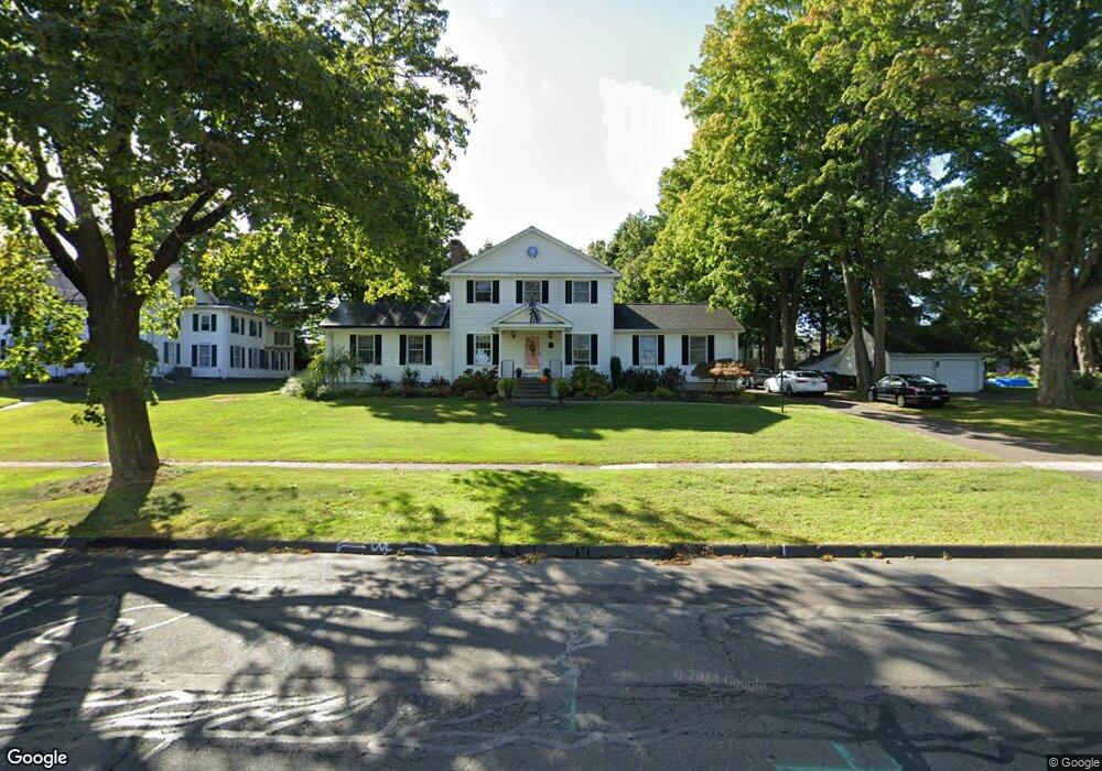
217 Griswold Rd Wethersfield, CT 06109
Wethersfield AreaEstimated Value: $588,000 - $759,413
About This Home
This home is located at 217 Griswold Rd, Wethersfield, CT 06109 and is currently estimated at $674,103, approximately $264 per square foot. 217 Griswold Rd is a home located in Hartford County with nearby schools including Highcrest School, Silas Deane Middle School, and Wethersfield High School.
Ownership History
We collect this data history from publicly available records. To have your information removed, we recommend requesting removal directly through your county’s website.
Purchase Details
Home Values in the Area
Average Home Value in this Area
Purchase History
We collect this data history from publicly available records. To have your information removed, we recommend requesting removal directly through your county’s website.
| Date | Buyer | Sale Price | Title Company |
|---|---|---|---|
| $410,000 | -- |
Mortgage History
We collect this data history from publicly available records. To have your information removed, we recommend requesting removal directly through your county’s website.
| Date | Status | Borrower | Loan Amount |
|---|---|---|---|
| Open | $85,000 | ||
| Closed | $53,000 | ||
| Closed | $30,000 | ||
| Open | $310,000 | ||
| Closed | $73,000 | ||
| Closed | $24,400 | ||
| Closed | $315,000 | ||
| Closed | $325,000 | ||
| Previous Owner | $150,000 | ||
| Previous Owner | $45,100 | ||
| Previous Owner | $170,000 |
Tax History
We collect this data history from publicly available records. To have your information removed, we recommend requesting removal directly through your county’s website.
| Year | Tax Paid | Tax Assessment Tax Assessment Total Assessment is a certain percentage of the fair market value that is determined by local assessors to be the total taxable value of land and additions on the property. | Land | Improvement |
|---|---|---|---|---|
| 2025 | $18,530 | $449,550 | $97,550 | $352,000 |
| 2024 | $12,085 | $279,620 | $69,300 | $210,320 |
| 2023 | $11,683 | $279,620 | $69,300 | $210,320 |
| 2022 | $11,487 | $279,620 | $69,300 | $210,320 |
| 2021 | $11,372 | $279,620 | $69,300 | $210,320 |
| 2020 | $11,378 | $279,620 | $69,300 | $210,320 |
| 2019 | $11,392 | $279,620 | $69,300 | $210,320 |
| 2018 | $11,251 | $275,900 | $66,200 | $209,700 |
| 2017 | $10,973 | $275,900 | $66,200 | $209,700 |
| 2016 | $10,047 | $260,700 | $66,200 | $194,500 |
| 2015 | $9,956 | $260,700 | $66,200 | $194,500 |
| 2014 | $9,578 | $260,700 | $66,200 | $194,500 |
Map
- 62 Highland St
- 334 Prospect St
- 20 Terrace Rd
- 9 Pond Side Dr
- 219 Clearfield Rd
- 181 Brimfield Rd
- 129 Midwell Rd
- 101 Collier Rd
- 268 Fox Hill Rd
- 72 Jameswell Rd
- 28 Hayrake Dr
- 7 Lantern Ln
- 605 Wolcott Hill Rd
- 72 Old Post Rd
- 60 Linden St
- 111 Beverly Rd
- 597 Wolcott Hill Rd
- 165 Stillwold Dr
- 19-21 Mill St
- 36 Cross Hill Rd
- 199 Griswold Rd
- 187 Griswold Rd
- 207 Griswold Rd
- 72 Old Mill Rd
- 68 Old Mill Rd
- 179 Griswold Rd
- 71 Old Mill Rd
- 60 Farmstead Rd
- 62 Old Mill Rd
- 169 Griswold Rd
- 227 Griswold Rd
- 222 Griswold Rd
- 68 Farmstead Rd
- 50 Farmstead Rd
- 163 Griswold Rd
- 54 Old Mill Rd
- 239 Griswold Rd
- 57 Old Mill Rd
- 76 Farmstead Rd
- 43 Farmstead Rd
Ask me questions while you tour the home.