217 Gunns Cir Cleveland, GA 30528
Estimated Value: $342,000 - $530,000
3
Beds
2
Baths
1,898
Sq Ft
$227/Sq Ft
Est. Value
About This Home
This home is located at 217 Gunns Cir, Cleveland, GA 30528 and is currently estimated at $431,445, approximately $227 per square foot. 217 Gunns Cir is a home with nearby schools including White County 9th Grade Academy, Mount Yonah Elementary School, and White County Middle School.
Ownership History
Date
Name
Owned For
Owner Type
Purchase Details
Closed on
Dec 20, 2019
Sold by
Wade Charlotte L
Bought by
London Steven Ryan and London Fonda Nicole
Current Estimated Value
Purchase Details
Closed on
Dec 15, 2012
Sold by
Camp Charlotte Ann London
Bought by
Wade Charlotte L and Wade Tommy E
Home Financials for this Owner
Home Financials are based on the most recent Mortgage that was taken out on this home.
Original Mortgage
$220,900
Interest Rate
3.38%
Mortgage Type
New Conventional
Create a Home Valuation Report for This Property
The Home Valuation Report is an in-depth analysis detailing your home's value as well as a comparison with similar homes in the area
Home Values in the Area
Average Home Value in this Area
Purchase History
| Date | Buyer | Sale Price | Title Company |
|---|---|---|---|
| London Steven Ryan | -- | -- | |
| Wade Charlotte L | -- | -- |
Source: Public Records
Mortgage History
| Date | Status | Borrower | Loan Amount |
|---|---|---|---|
| Previous Owner | Wade Charlotte L | $220,900 |
Source: Public Records
Tax History Compared to Growth
Tax History
| Year | Tax Paid | Tax Assessment Tax Assessment Total Assessment is a certain percentage of the fair market value that is determined by local assessors to be the total taxable value of land and additions on the property. | Land | Improvement |
|---|---|---|---|---|
| 2024 | $2,638 | $159,332 | $15,804 | $143,528 |
| 2023 | $1,668 | $97,608 | $14,048 | $83,560 |
| 2022 | $2,164 | $96,732 | $13,172 | $83,560 |
| 2021 | $2,336 | $89,976 | $11,408 | $78,568 |
| 2020 | $1,982 | $72,416 | $11,408 | $61,008 |
| 2019 | $1,988 | $72,416 | $11,408 | $61,008 |
| 2018 | $1,765 | $64,536 | $10,648 | $53,888 |
| 2017 | $1,879 | $69,176 | $10,648 | $58,528 |
| 2016 | $1,880 | $69,176 | $10,648 | $58,528 |
| 2015 | $1,794 | $172,940 | $10,648 | $58,528 |
| 2014 | $1,892 | $181,800 | $0 | $0 |
Source: Public Records
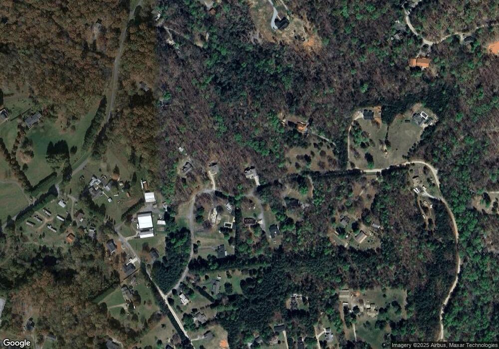
Map
Nearby Homes
- 675 Washboard Rd
- 164 Leatherford Rd
- 0 Highway 115 E Unit 10608501
- 179 Pine Brook Dr
- 77 N Shore Dr
- 919 Leatherford Rd
- 61 Berry Patch Ln
- 319 Dock Dorsey Rd
- 0 Freeman Rd Unit LOT 4
- 0 Freeman Rd Unit LOT 3 10539998
- 0 Freeman Rd Unit LOT 2 10539989
- 00 Freeman Rd
- 0 Black Rd Unit 10620540
- 0 Black Rd Unit 7662078
- 0 Holiness Campground Rd Unit 10609890
- 79 Hampton Hills Ln
- 915 Holiness Campground Rd
- 1021 Black Rd
- LOT 12 Heather Way
- LOT 16 Morris Trail
- 161 Gunns Cir
- 0 Gunns Cir Unit 7503408
- 0 Gunns Cir Unit 7368416
- 0 Gunns Cir Unit 7313662
- 0 Gunns Cir Unit 8683229
- 0 Gunns Cir Unit 7587611
- 0 Gunns Cir Unit 8946441
- 0 Gunns Cir Unit 3259113
- 0 Gunns Cir Unit 7251947
- 206 Gunns Cir
- 246 Gunns Cir
- 208 Gunns Cir
- 132 Gunns Cir
- 151 Gunns Cir
- 319 Gunns Cir
- 74 Gunns Cir
- 324 Pless Rd
- 94 Lemon Tree Dr
- 94 Lemon Tree Dr Unit 111
- 38 Gunns Cir